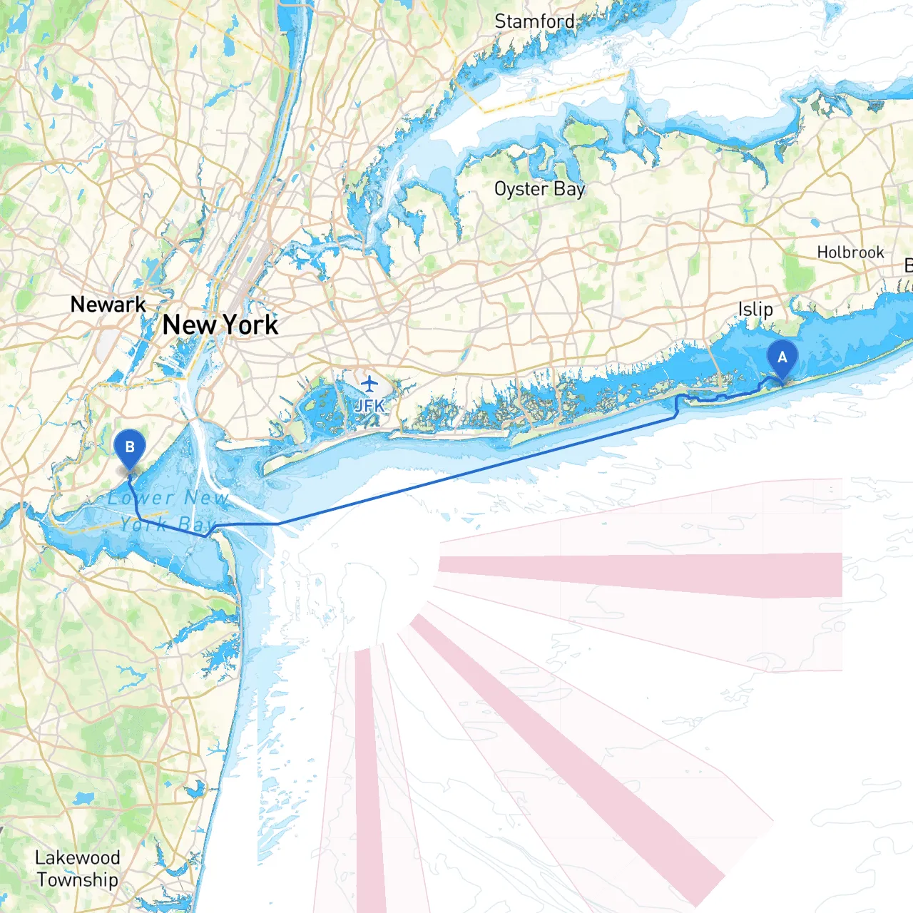
Pilotage Plan: Town of Islip, NY to Staten Island, NY
Overview
This journey takes you from the picturesque Town of Islip, situated on the Great South Bay, to the urban shores of Staten Island. The route is designed for the intermediate to experienced boater, offering a blend of tranquil waters, navigational challenges, and opportunities to explore the beautiful New York waterways. Safety will be emphasized, ensuring that you are well-prepared for any changes in weather or conditions.
Route Sections
1. Departure from Town of Islip, NY
- Starting Point: Islip marina or local launch area.
- Coordinates: Longitude -73.1711, Latitude 40.6446.
- Notes: Before embarking, ensure your vessel’s safety equipment is on board, including life jackets, flares, fire extinguishers, and a first aid kit. Check local weather conditions through reliable apps like savvy navvy for real-time updates.
2. Navigating the Great South Bay
- Hazards: Be aware of shallow areas, particularly near the southern shore. Watch for commercial traffic and ferry routes, especially near the Sayville and Blue Point areas.
- Points of Interest: Look out for Fire Island National Seashore—a national treasure with stunning views and birdwatching opportunities. If time allows, a brief stop at the Fire Island Lighthouse could be enriching.
- Safety Tips: Maintain a safe distance from any shoals and constantly monitor your depth sounder while traversing. Avoid nighttime navigation in this area unless you’re highly experienced.
3. Entering the Staten Island Sound
- This section will transition from the open bay to more confined waters. Pay particular attention to signs and navigational aids marking the entrance to the Sound.
- Navigational Aids: Look for buoys, especially no-wake zones as you approach the mid-sections of the Sound, where boat traffic increases.
4. Navigating Toward Staten Island
- Shelter Options: If weather conditions worsen, consider seeking refuge in Tappen Zee or the various marinas in Great Kills Harbor. These locations provide safe mooring and shelter from the elements.
- Local Regulations: Familiarize yourself with the local boating regulations for Staten Island. Some areas may have speed restrictions or no-wake zones, particularly around residential waterfronts.
5. Arrival at Staten Island
- Destination: Staten Island's marinas or public dock facilities, with coordinates Longitude -74.1398, Latitude 40.5428.
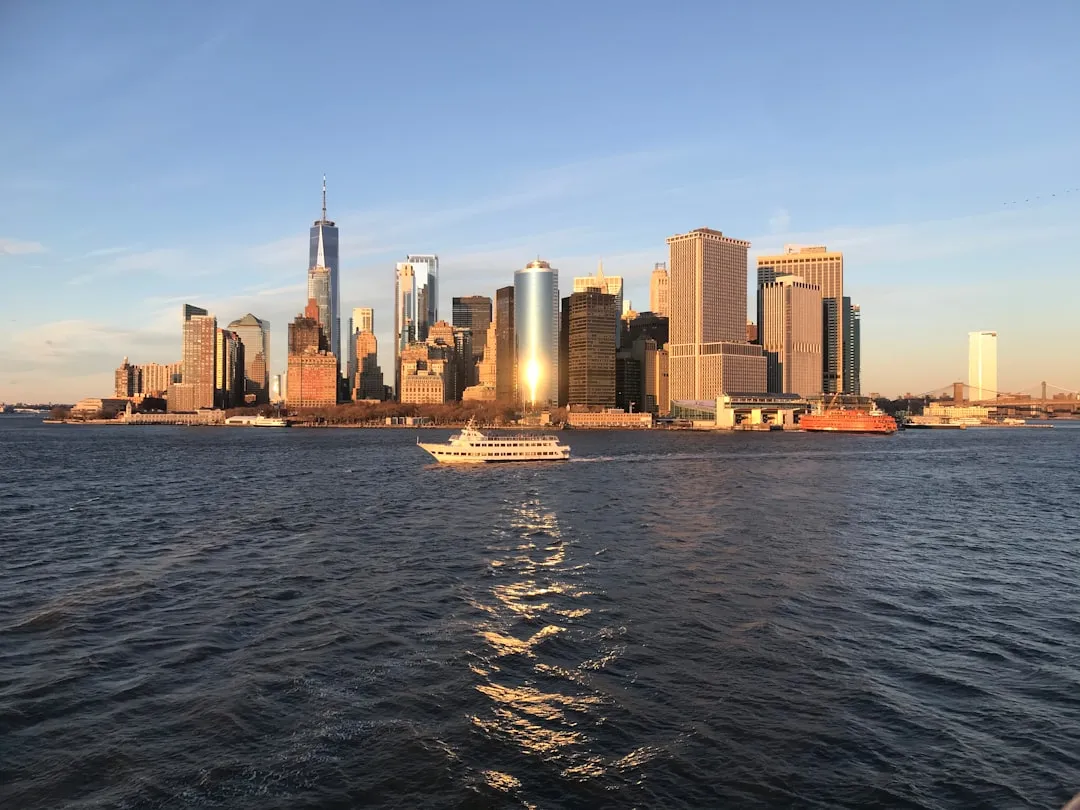
- Final Notes: Once docked, explore local attractions such as the Staten Island Ferry, Snug Harbor Cultural Center & Botanical Garden, or take a stroll through Fort Wadsworth, which offers stunning views of the Verrazzano-Narrows Bridge.
Conclusion
This itinerary beautifully encapsulates the natural beauty and urban charm of the New York waterways. The blend of tranquil bay settings and bustling navigation leading to Staten Island creates a rewarding experience for those with a sense for adventure and an eye for safety.
With proper preparation and adherence to navigational aids, you can comfortably and safely explore your journey from Islip to Staten Island, all while enjoying the incredible sights and potential stops along the way. Ensure your electronics are oncharge, your gear is secured, and your awareness is heightened. This trip is not just about reaching a destination but savoring every moment on the water. Enjoy the journey!