
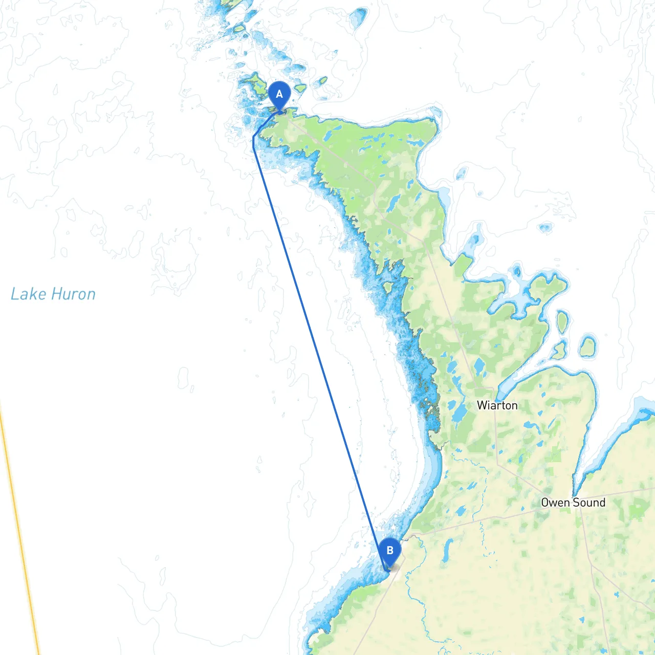
This journey takes you from the picturesque Tobermory to the charming Port Elgin, a roughly 45 nautical mile cruise across the clear blue waters of Lake Huron. This route is perfect for intermediate to experienced boaters due to varying weather conditions that may arise, the potential for navigating through shallower areas, and the presence of underwater hazards along the way.
1. Departure from Tobermory - At departure, ensure that your VHF radio is operational. It’s a good idea to check in with local marine traffic for updates on conditions. - The harbor at Tobermory offers excellent amenities. Before you leave, consider refueling and stocking up on supplies.
2. Sailing from Tobermory - As you set off, head southwest toward the open waters of Lake Huron. The first point of interest you will encounter is Flowerpot Island, well-known for its unique rock formations and hiking trails, which can be a perfect initial stop.
3. Navigating to Little Tub Harbour - After Flowerpot Island, continue southwest and navigate past the Bruce Peninsula. Watch for the Northern Bruce Peninsula Marine Park, home to crystal-clear water and beautiful vistas. As the weather changes rapidly around here, it’s advisable to check the forecasts regularly.
4. Shelter at Lion’s Head - Approximately 20 nautical miles in, you have the option to take shelter at Lion's Head if conditions turn adverse. The local marina offers safe dockage and amenities for a short break.
5. The Waters Near Sauble Beach - Continuing south, keep an eye on the shoreline and look for Sauble Beach. It’s a popular area, but navigate cautiously as the waters can get congested with recreational craft during peak hours.
6. Entering the North Channel - After passing Sauble Beach, you may enter the North Channel, which leads you toward your destination. This area is known for fishing and offers scenic views of the surrounding islands.
7. Approaching Port Elgin - As you finally approach Port Elgin, take note of the Port Elgin Lighthouse, which is easily visible from a distance and acts as a reliable navigation landmark.
This route from Tobermory to Port Elgin promises both adventure and stunning natural beauty, perfect for the boater who appreciates the charm of the Great Lakes. With attention to safety and consideration of changing conditions, you'll not only navigate successfully but also relish the journey. Enjoy your cruising adventure and stay safe out there!