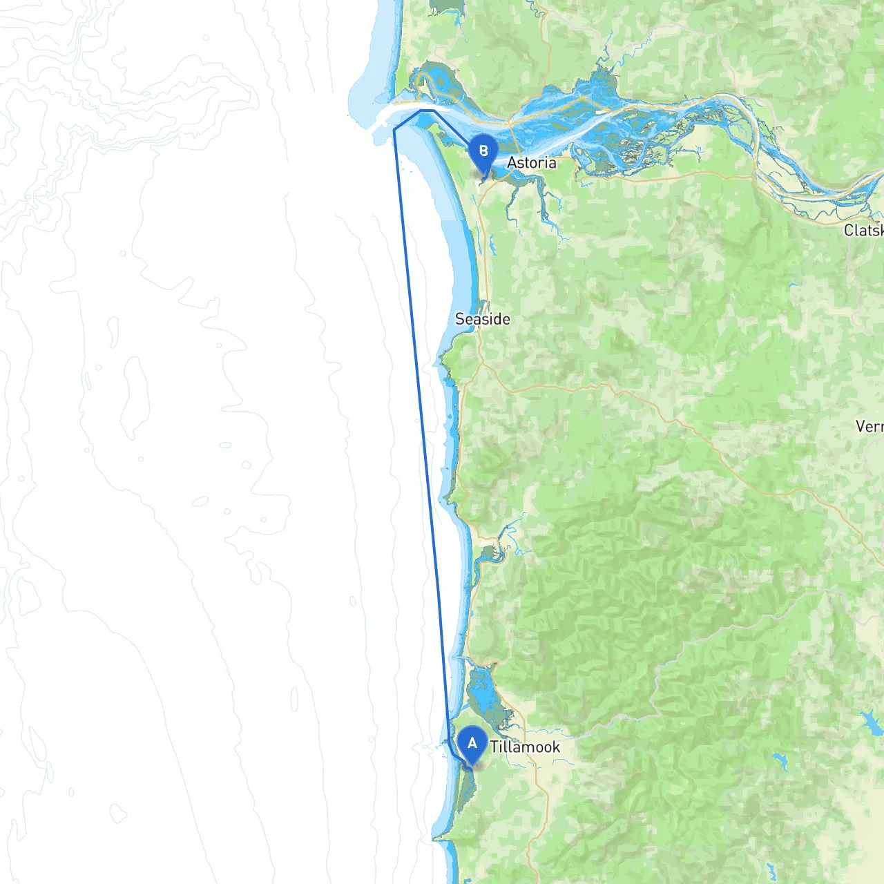
Pilotage Plan: Tillamook, OR to Warrenton, OR
As you prepare for an adventurous boat trip from Tillamook, Oregon to Warrenton, Oregon, this pilotage plan will guide you through this stunning route while ensuring your safety and enjoyment on the water. This journey is ideal for experienced boaters looking to explore the breathtaking scenery along Oregon's coast.
Route Overview
Starting in Tillamook, you'll navigate north along the picturesque coastline before reaching the mouth of the Columbia River, where Warrenton is located. This trip showcases rugged coastline, serene bays, and opportunities to spot wildlife, making your voyage not only safe but also visually delightful.
Leg 1: Tillamook Bay
Departure from Tillamook, OR
- Coordinates: -123.9388221502304, 45.42667091861362
- Local Hazards: As you depart Tillamook, be aware of shallow waters, particularly near the bar entrance. The entrance to Tillamook Bay is marked with navigation buoys—keep an eye on these and follow the channel to avoid grounding.
- Points of Interest:
-
: A great spot for a quick on-land break before you set out, with scenic views and picnic areas.
Navigational Aids:
- Follow the buoys marking the channel out towards the ocean. Pay close attention to the lights on the jetties, which help guide your way in conditions of low visibility.
Shelter Options:
- Should the weather take a turn, you can find shelter in the hidden coves within Tillamook Bay, especially around the Nehalem River.
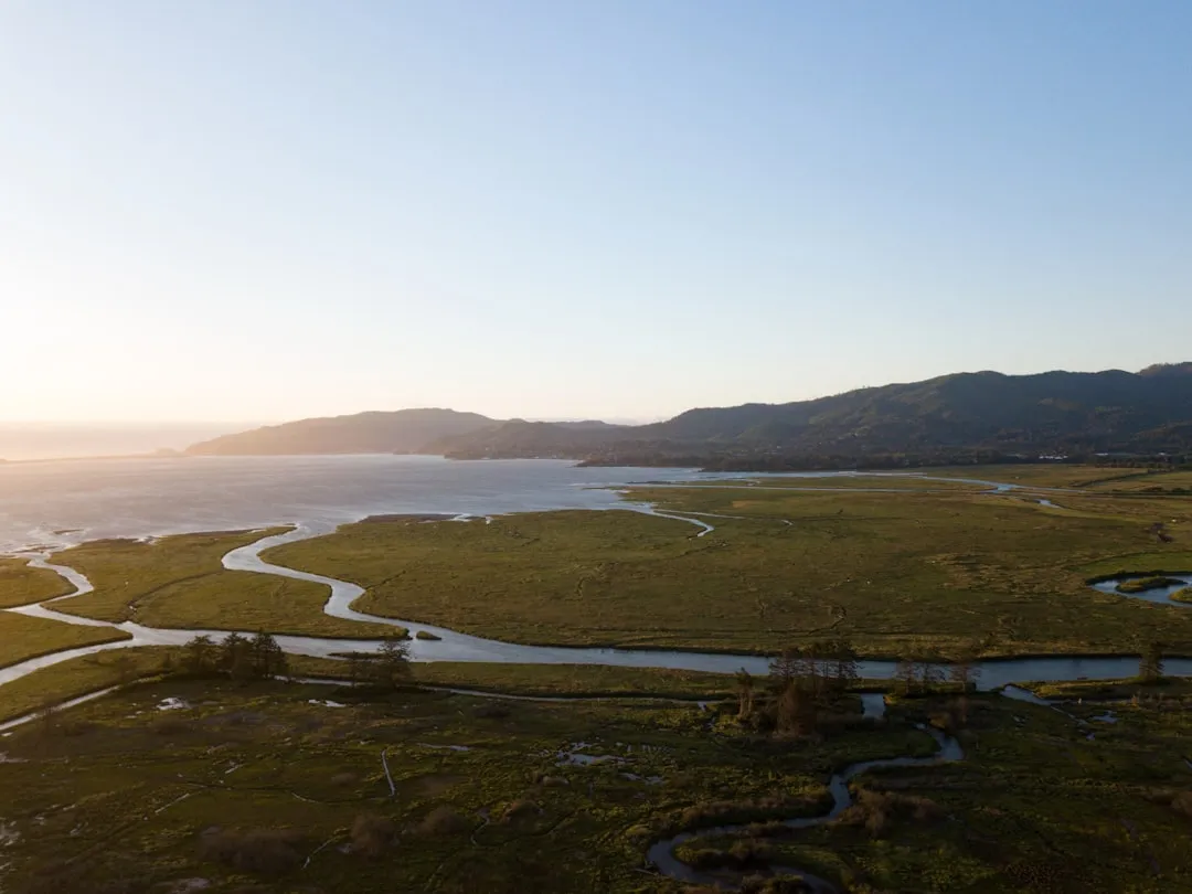
Leg 2: Along the Coast
Heading North Along the Coastline
- The journey brings you into the open ocean, where you will enjoy views of sea stacks and cliffs. This stretch offers a chance to see birds, seals, and other marine wildlife.
- Important Notes: Keep watch for fishing boats and seasonal crab traps, as these can create obstacles in the water.
Points of Interest:
- Cape Meares: This scenic point is not only a beautiful spot but also home to the Cape Meares Lighthouse. You might consider anchoring nearby to enjoy a picnic and a swim.
Leg 3: Columbia River Entrance
Approaching the Mouth of the Columbia River
- As you round the coastline and approach the Columbia River, the weather can change quite rapidly. Be prepared for potential fog and strong currents.
- Hazards: The bar at the mouth can be especially turbulent; extensive caution is advised. Monitor local conditions as this stretch can become dangerous without warning.
Navigational Aids:
- Look for the jetty lights and buoys indicating the channel. The river is well-marked, and following these will safely lead you toward Warrenton.
Local Regulations:
- Be sure to observe any shipping traffic regulations as vessels navigate to and from this busy river channel.
Leg 4: Arrival in Warrenton
Final Approach to Warrenton, OR
- Coordinates: -123.91916692256926, 46.1688916109861
- As you approach Warrenton, the waters will calm, guiding you toward the harbor.
- Points of Interest: The town of Warrenton is not just a passing place; consider stopping for local dining or visiting attractions like Fort Stevens State Park, where you can explore remnants of the fort and enjoy beach access.
Safety Considerations
Throughout the trip, your awareness of local weather conditions and tide changes will be crucial. I highly recommend using boating apps like savvy navvy, to help monitor live weather updates, tides, and navigational charts. Other useful apps include Navionics and the NOAA Weather app for real-time storm alerts.
Closing Thoughts
This route is perfect for experienced boaters looking to blend adventure with safety. With its beautiful scenery and numerous opportunities for shelter and exploration, you’re set for a memorable voyage on the waters of the Oregon coast. Remember, while it’s a trip meant for enjoyment, keeping safety as a priority will ensure you have the best experience possible. Happy boating!