
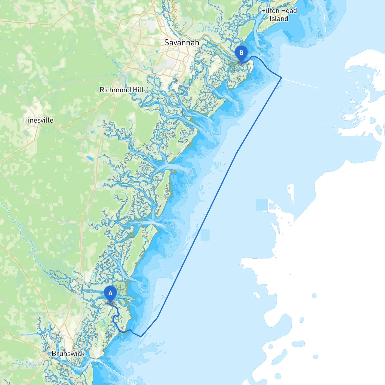
Route Overview
Prepare yourself for a thrilling voyage along the picturesque Georgia coast, traveling from the charming St. Simons Island to the welcoming shores of Tybee Island. This 40 nautical mile trip is ideal for experienced boaters looking for scenic views and unique explorations—though beginners can also enjoy this route with careful navigation.
Departure from St. Simons Island
Start your journey at the St. Simons Island Marina (coordinates: 31.2958, -81.3425), where the facilities are ample, and you’ll find a friendly harbor community. Before casting off, ensure that your vessel is well-stocked with essential supplies and that you check the local tide tables and weather conditions.
As you depart, keep an eye out for the historic St. Simons Lighthouse situated on the coast—it's a perfect backdrop for a farewell photo before setting out. The channel is well-marked, but always stay alert to ensure safe passage.
Points of Shelter on the Route
After leaving St. Simons, you have a couple of strategic bays where you can find shelter should the weather become unfavorable:
Navigating the Route
This stretch of water can be challenging due to shifting sands and underwater obstructions. As you proceed, make sure to adhere to the following navigational aids:
Arrival at Tybee Island
Upon arrival at Tybee Island (coordinates: 32.0132, -80.8832), you will find the famous Tybee Island Pier and Pavilion. Here, you can explore sandy beaches or take part in various water sports. The island is also rich in history, featuring Fort Pulaski National Monument and the Tybee Island Light.
While on your journey, ensure you have all the right tools for safety and route planning. I recommend using:
This route from St. Simons Island to Tybee Island is not only stunning but also manageable for both seasoned and novice boaters willing to prepare adequately. With ample shelter opportunities, significant navigational aids, and unique attractions, it promises to be a memorable marine adventure. Remember that safety is key, so keep a weather eye out and enjoy the journey!