Pilotage Plan from St. Maarten to St. Kitts
Route Overview
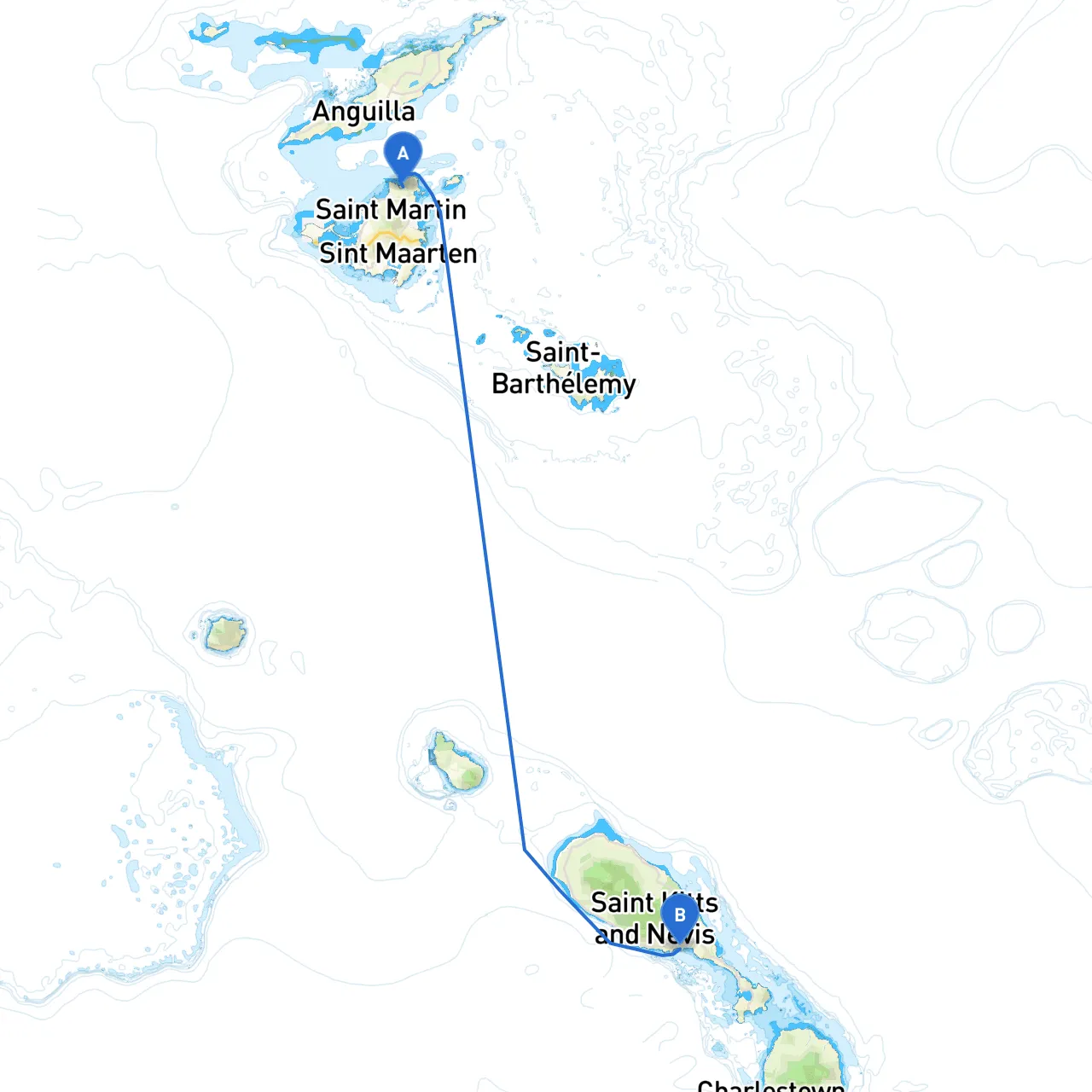
Setting sail from St. Maarten, you’re about to embark on an unforgettable journey to St. Kitts. This cruise covers approximately 37 nautical miles depending on your chosen path along the coastline. The route is suitable for both novice and experienced boaters, providing ample opportunities for picturesque anchorages and sheltered bays in case of inclement weather.
Starting Point: St. Maarten, BVI, VG (Coordinates: -63.0372833333, 18.1131)
Destination: St. Kitts, BVI, VG (Coordinates: -62.7246333333, 17.293)
Point of Departure: St. Maarten
As you leave the busy island of St. Maarten, ensure your vessel is prepared, and safety checks are complete. Depart from Simpson Bay Lagoon, which provides excellent shelter and marina facilities. This is a good opportunity to stock up on provisions if required, and to ensure you have updated charts on hand.
Notable Hazards
Pay attention when navigating out of Simpson Bay. The entrance is deep but narrow, making it vital to adhere to navigation channels marked by buoys. Keep an eye out for ferries and other craft using the busy commercial lanes.
Stops Along the Way
1. Anguilla (by diversion) - While not directly on your course to St. Kitts, a slight diversion to Anguilla offers beautiful beaches and quiet anchorages, particularly at Road Bay. This juxtapositional stopover allows you to stretch your legs and explore local culture.
2. Prickly Pear Cays (Optional Stop) - While navigating towards the southern route, consider a detour to the Prickly Pear Cays. These uninhabited islands offer excellent snorkeling opportunities, a perfect spot to make a brief stop for a swim.
Mid-Route Navigation Considerations
As you head south from St. Maarten, follow the western coastline of St. Kitts. The waters here can be deeper, but keep in mind the man-made reefs and marine parks. Thus, always refer to your latest nautical charts for any navigational hazards.
Important Aids to Navigation
Be vigilant as you approach the channel between St. Maarten and St. Kitts:
Shelter Points
If weather conditions worsen, several bays offer good shelter:
Local Regulations and Restrictions
When nearing St. Kitts, be mindful of local regulations related to the marine parks and wildlife reserves:
Arrival in St. Kitts
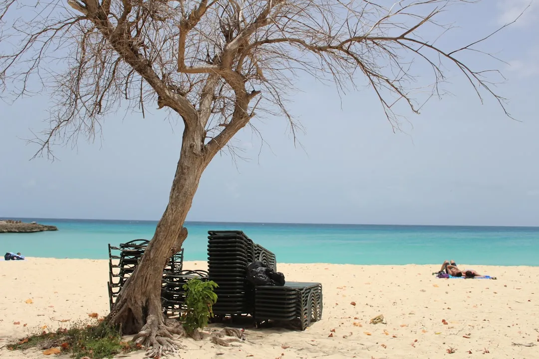
Once you enter St. Kitts, enjoy vibrant local culture and cuisine. The island has stunning beaches like Frigate Bay and Timothy Hill. It's also an excellent place to dock and relax. The marina facilities are welcoming for weary sailors, offering everything from dining to refueling.
Useful Apps
For trip planning and navigation, consider using the following apps to enhance your experience:
This journey from St. Maarten to St. Kitts is as much about the thrill of the open water as it is about enjoying the safe harbors and exploring the vibrant Caribbean culture along the way. Ensure your equipment is in working order and remain vigilant while navigating. Sea adventures await, and with every wave, there lies an opportunity for memorable experiences!