
Pilotage Plan: South Boston, MA to Brant Rock, MA
Overview:Embarking on a boat trip from South Boston to Brant Rock is a rewarding adventure for both experienced sailors and those looking to enjoy the charm of the Massachusetts coastline. This journey not only takes you through picturesque waterway views but also offers various stops, ensuring safety is prioritized while still allowing for enjoyable experiences along the route.
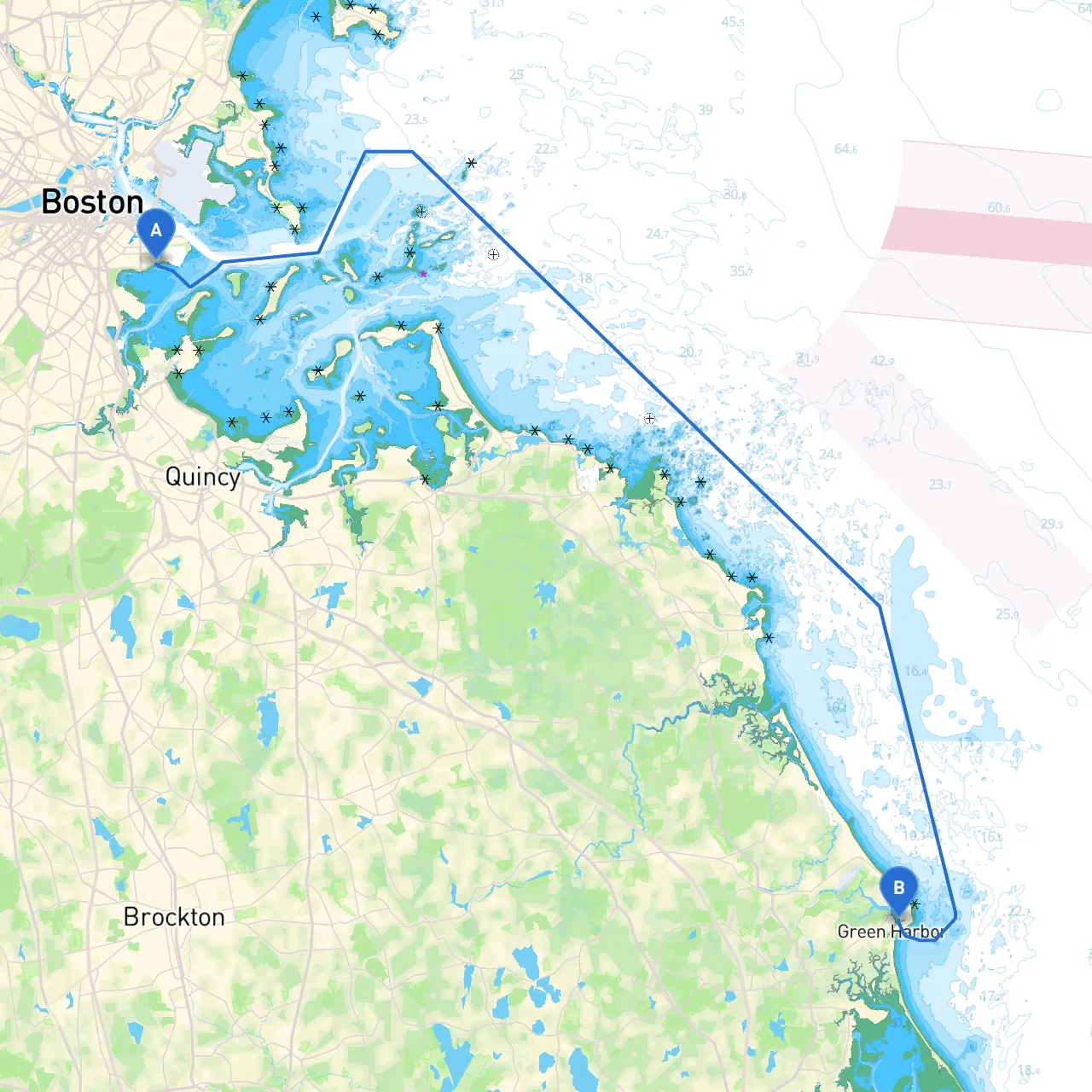
Route Start:
Sections of the Journey:
1. Departure from South Boston: As you leave South Boston, prepare to navigate the bustling waters of Boston Harbor, keeping an eye on the numerous ferries, cargo ships, and recreational boats. Charts and navigational aids such as buoys marking shipping channels will be key to your safe passage.
2. Navigating Boston Harbor: Be on the lookout for: - Castle Island and Fort Independence, serving as notable landmarks. - The harbor has a mix of commercial traffic; maintain vigilance while maintaining a safe distance. Approach the northern part of the harbor, looking out for the prominent Nautical Chart
3. Transitioning toward Quincy Bay: As you exit the harbor, you’ll enter Quincy Bay. This area is known for its relatively sheltered waters, making it an ideal stop if weather conditions decline. Here, you may anchor near Nantasket Beach, a scenic spot that offers beaches and local dining options. If weather allows, a stop here can sprinkle some leisure into your journey.
4. Sailing toward Hingham Bay: Continuing from Quincy Bay, you will steer into Hingham Bay, home to various islands and coves, perfect for day excursions. Keep a lookout for: - Bumpkin Island - a quiet spot rich in history. - Pay close attention to Hingham’s mooring buoys. Reporting to the local harbor master is essential before anchoring.
5. Rounding Cohasset and Scituate: After Hingham, guide your vessel along the rugged coastline toward Cohasset and Scituate. These towns offer picturesque views and charming harbors. The Scituate Lighthouse is a must-see landmark. Keep an eye on navigational aids and the tidal currents leading into Scituate Harbor, which can be swift.
6. Sheltering in Accord Pond: If conditions worsen or you need a break, consider ducking into Accord Pond. It’s a fantastic place to regroup or wait out unfavorable weather, and it provides a soothing respite amongst natural beauty.
7. Finishing the Cruise to Brant Rock: As you approach your final destination, be alert for the final stretch to Brant Rock. Maintain your vigilance for commercial fishing activities, as this area is often busy with boats. Adhere to local regulations regarding fishing zones, especially near the mouth of the North River.
Important Navigational Aids:
Regulations & Safety:
Boater Profile:This well-rounded itinerary is particularly suitable for recreational boaters looking for a mixture of adventure and tranquil stops, all while maintaining a strong focus on navigational safety. More seasoned sailors will also appreciate the diverse opportunities for exploration while managing their vessel amidst busy waterways.
Useful Apps:To aid you during the journey, consider downloading boating apps such as Savvy Navvy, which provides interactive charts, weather updates, and route planning. This app can be a trusted companion on your maritime journey, helping you navigate efficiently while keeping you informed on marine conditions.
Take a deep breath, set your course, and enjoy the beautiful coastal scenery as you make your way to Brant Rock. Safe travels on your nautical adventure!