
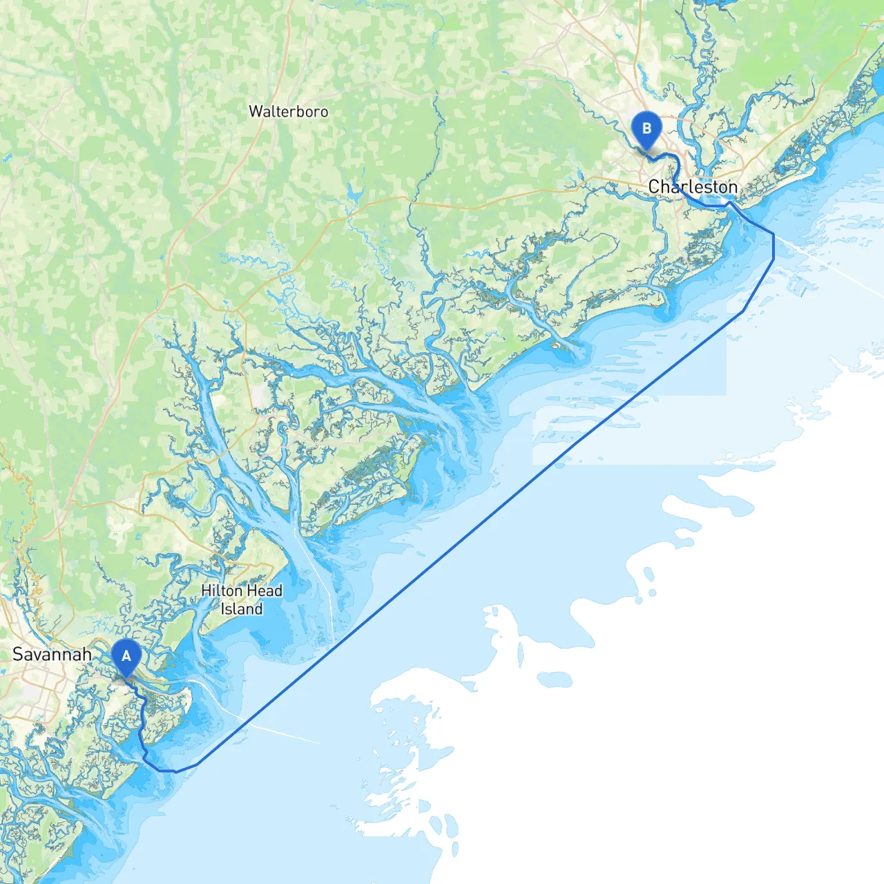
Route Overview This route from Savannah, Georgia, to North Charleston, South Carolina, offers a delightful blend of scenic beauty, historical landmarks, and a few hidden gems for boaters eager for a remarkable experience on the water. Stretching approximately 110 nautical miles, this trip is suitable for moderate to experienced boaters, particularly those with a good understanding of navigation as you'll encounter tidal influences, shifting shoals, and some engine-revving currents.
Section 1: Departure from Savannah
Starting Point: Savannah, GA Coordinates: Longitude: -80.9587, Latitude: 32.0348
Upon leaving the bustling port of Savannah, be mindful of the busy shipping traffic. You’ll want to initially head southeast towards the Savannah River entrance. A legal depth reading here can fluctuate, so staying abreast of the local charts is critical.
Notable Navigational Aids:
Points of Interest: While this segment is primarily about navigation, consider a quick stop off at Fort Pulaski National Monument for a dose of history and a chance to stretch your legs before heading out into open waters.
Section 2: Through Tybee Roads
After clearing the Savannah River, make your way towards Tybee Roads. The waters here can be sensitive to weather changes, with currents occasionally becoming quite swift.
Safe Harbor: If the weather turns blustery, Tybee Island offers several small coves and anchorages on the south side where you can seek shelter. Well-marked and relatively protected, it serves as an excellent backup point.
Navigational Considerations:
Section 3: Left Turn at Hilton Head
Sailing up the Atlantic Intracoastal Waterway (ICW), you’ll want to navigate carefully around Hilton Head Island. The waters around here are home to numerous waterways and inlets, packed with shoals.
Important Buoys: Watch for the ICW markers that guide you through this area. Charts will indicate shallow areas, and frequent checks of depth soundings are essential as this region can shift with tides.
Shelter Spot: Towards the northern end of Hilton Head, consider stopping at Broad Creek if conditions worsen. It’s a picturesque landing with access to local dining and entertainment, plus it presents a great opportunity to enjoy the local wildlife.
Section 4: Approaching Charleston Harbor
As you near the Charleston area, you’ll navigate through Bulls Bay and catch a glimpse of the architectural beauties lining the harbor. Here, you’ll transition from the Intracoastal Waterway to Charleston Harbor.
Key Navigational Aids:
Points of Interest: Once inside the harbor, consider a detour to explore the historic Fort Sumter. Not only is it an educational experience, but it also provides stunning views back towards the city as you tread along the historical pathways.
Section 5: Arrival in North Charleston
Ending Point: North Charleston, SC Coordinates: Longitude: -80.0231, Latitude: 32.8353
Your destination, North Charleston, is reached by navigating past the scenic Aquarium and waterfront parks. The local marinas here are ready to welcome you and provide safe docking facilities.
Final Advisory: Within North Charleston, be sure to adhere strictly to speed limits and local boating regulations. The waterways here can host a mix of commercial and recreational traffic, so keeping a vigilant lookout is crucial.
Recommended Boating Apps: For both navigation and safety, I highly recommend using Savvy Navvy along with local resources like Navionics and Waterway Guide. These apps are fantastic for planning your route, checking tide schedules, and keeping abreast of maritime alerts.
With this pilotage plan, you’re on your way to an unforgettable cruising trip filled with breathtaking sights while ensuring safety is your top priority. Embrace the journey as you take in the beauty of the Lowcountry waters!