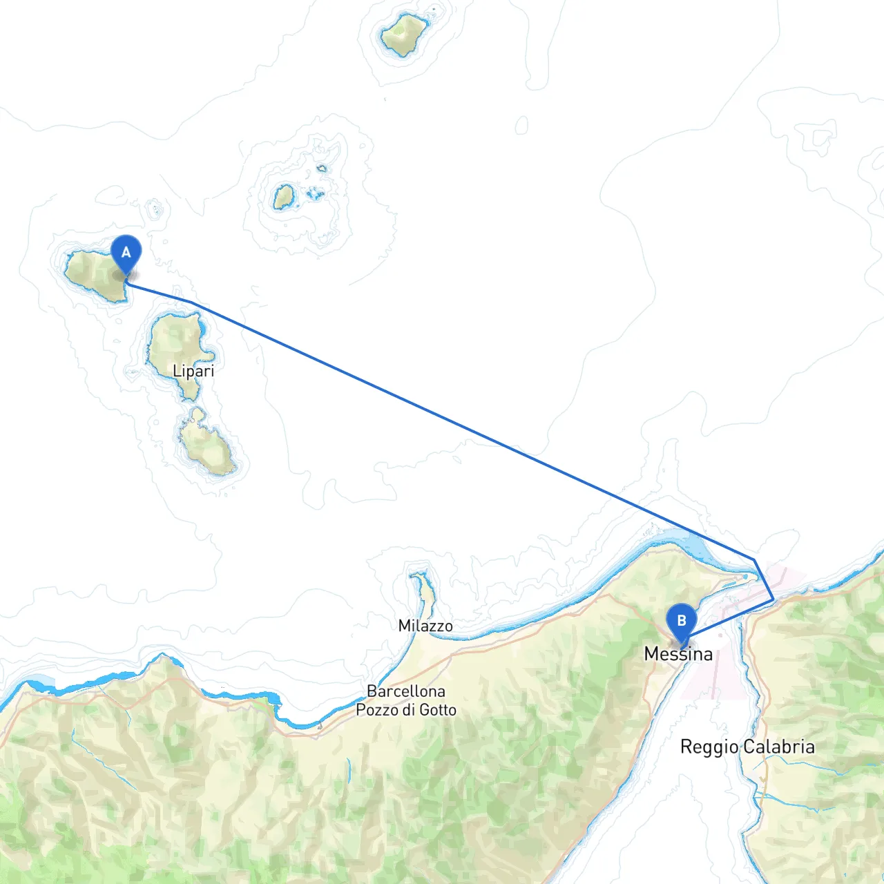
Pilotage Plan: Santa Marina Salina, ME, IT to Messina, ME, IT
Overview
This route from Santa Marina Salina to Messina offers breathtaking views of the Aeolian Islands and the Sicilian coastline. It is ideal for intermediate to experienced boaters who are comfortable navigating coastal waters and can adapt to changing weather conditions. Safety is paramount, and this trip is structured to provide options for shelter and enjoy the stunning landmarks en route.
Departing from Santa Marina Salina
- Departure Coordinates: 14.8716° E, 38.5566° N
- Weather Check: Before you cast off, ensure you check the weather forecast. Conditions can change swiftly in this part of the Mediterranean, so having real-time updates is critical.
Route Overview
The journey to Messina spans approximately 23 nautical miles. The majority of the route runs parallel to the coast, providing plenty of shelter from rough seas, but keep an eye out for changing tides and currents.
Section 1: The Initial Leg from Santa Marina Salina to Filicudi Island
- Distance: Approximately 7 nautical miles.
- Landmarks: As you leave Santa Marina Salina, you will pass the stunning cliffs of the island. Keep an eye out for the sparkling waters and unique rock formations.
- Hazards: Be aware of submerged rocks as you navigate the waters between Santa Marina Salina and Filicudi. Stick to marked channels and consult your nautical charts.
- Shelter Opportunity: Filicudi Island has several coves, such as Cala del Porto, where you can anchor if the seas become turbulent.
Section 2: From Filicudi Island to Alicudi Island
- Distance: Roughly 9 nautical miles.
- Points of Interest: Alicudi is one of the lesser-visited Aeolian Islands, providing an untouched, authentic experience. Known for its striking views and rustic charm, it’s a great spot for a short exploration or lunch.
- Navigation Notes: Stay vigilant about the shipping lanes as these waters can experience higher traffic.
- Hazards: As with the first leg, submerged rocks are common. Follow the coastline carefully and respect any local fishing grounds where buoys may indicate restricted areas.
Section 3: From Alicudi Island to Messina
- Distance: Approximately 7 nautical miles.
- Landmarks: As you approach the mainland, the towering cliffs of Sicilia come into view. Look for landmarks such as the Torre di Faro, located at the base of the Strait of Messina.
- Shelter Opportunity: If conditions become choppy, consider diverting into Marina di Capo Peloro, which is an ideal safe harbor to regroup and assess further navigation.
- Navigational Aids: Keep a lookout for Lighthouses at Capo Peloro. They provide essential guidance as you make your final approach into Messina.
- Traffic Consideration: The Strait of Messina can be busy—stay clear of fishing boats and always have a proper lookout.
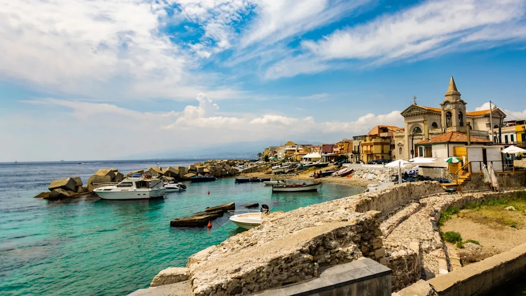
Arrival in Messina
- Arrival Coordinates: 15.5584° E, 38.1993° N
- Post-Arrival: Once safely docked, take some time to explore the beautiful city of Messina, known for its historical architecture and vibrant culture.
Safety Considerations
1. VHF Radio: Maintain communication on VHF channel 16. Local authorities may provide real-time navigation assistance.2. Lifejackets: Ensure all passengers wear lifejackets, especially when launching or docking.3. Updated Charts: Always maintain updated nautical charts. Utilize digital apps like Savvy Navvy for necessary navigation and waypoints.4. Emergency Plan: Establish an emergency plan prior to departure, including contacts for emergency services along the route.
Conclusion
This journey is as much about enjoying the beauty of the Aeolian Islands as it is about safety and navigation. By following this pilotage plan, you can ensure a safe, enjoyable trip from Santa Marina Salina to Messina, with plenty of opportunities to take shelter and explore along the way. Happy boating!