
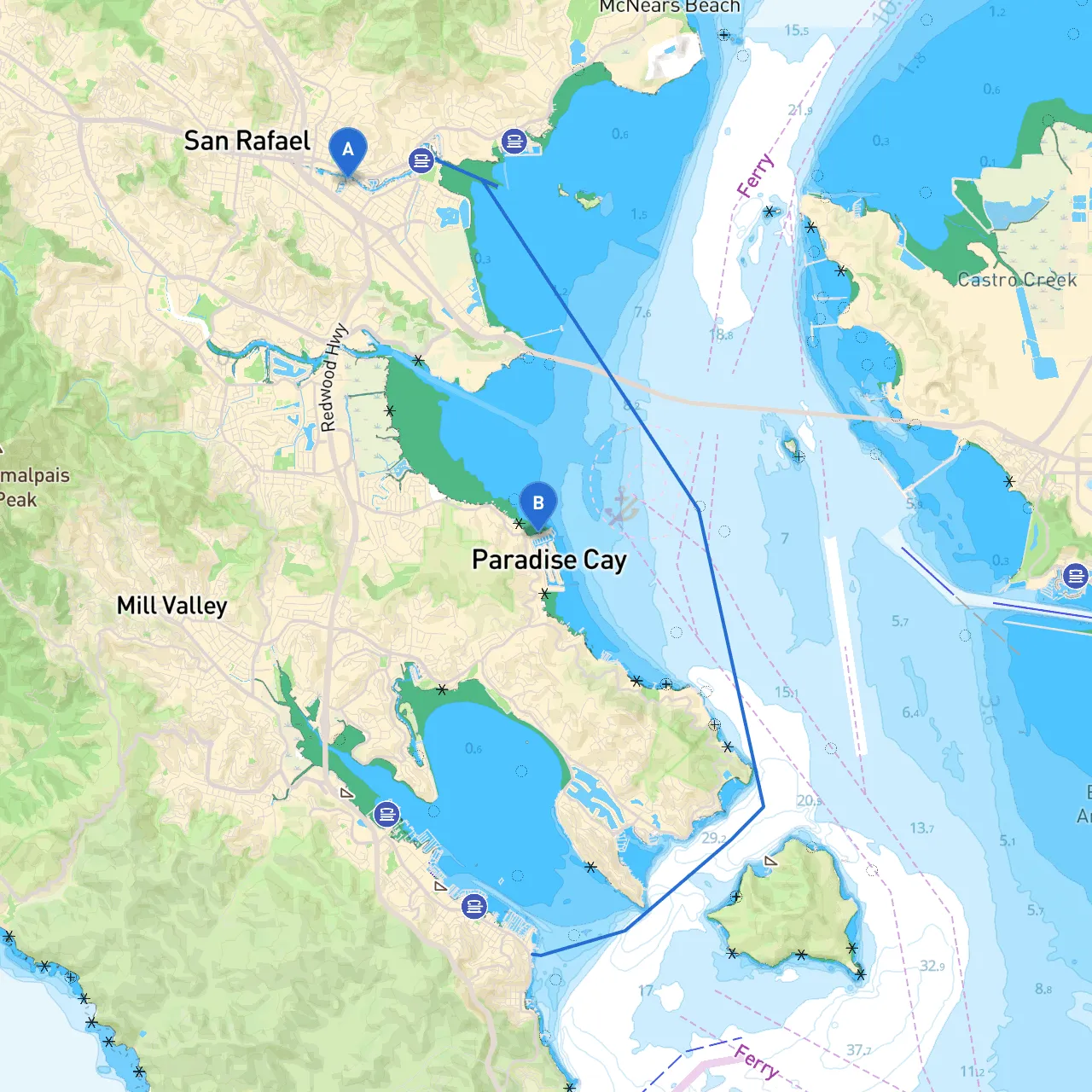
This pilotage plan outlines a scenic and engaging boat trip from San Rafael, California, to Tiburon, California. This route, measuring approximately 7 nautical miles, showcases the beautiful waters of San Francisco Bay and provides opportunities for exploration, sights, and shelter along the way. Ideal for recreational boaters and seasoned sailors alike, the journey not only prioritizes safety but also highlights enjoyable stops and picturesque views.
Starting Point: San Rafael, Marin County, California Coordinates: Long/Lat -122.5125226378441, 37.9673893074
As you depart from San Rafael, you’ll navigate the rich estuarine environment of the Marin County shoreline. Ensure your vessel is equipped with all necessary safety gear, including life jackets, flares, a first-aid kit, and a functioning VHF radio. Familiarize yourself with local weather conditions as they can change swiftly.
1. Heading West Start your trip by heading west, keeping an eye on the Marin shoreline until you reach the Marin Island area. Remain vigilant for any recreational boat traffic, as this area can become active, especially on weekends.
2. Navigational Aids As you drift into the main shipping channels, pay attention to the navigational buoys and markers, particularly the red right returning system that guides vessels back from the sea. Check for buoys notifying you of specific depths and hazards, especially near the mouth of San Rafael Creek.
3. Shelter: Marin Bay Should inclement weather arise or winds strengthen, consider taking refuge in Marin Bay. This sheltered bay offers protection from wind and waves, allowing safe anchoring while you wait for conditions to stabilize.
Upon arrival in Tiburon, you’ll find ample docking facilities and moorings. This charming waterfront town offers various dining options and shops. Additionally, it’s a great vantage point for stunning views of the San Francisco skyline.
This route from San Rafael to Tiburon offers both safety and scenic beauty, making it an excellent choice for boaters of all experience levels. The opportunity to enjoy the sights, take shelter if needed, and engage with the vibrant marine landscape truly makes this a delightful journey. Remember to prioritize safety, adhere to local regulations, and enjoy the splendor of the San Francisco Bay Area.