
Overview
This journey from San Leandro to Santa Cruz offers a captivating blend of scenic coastal views, vibrant local culture, and safe harbor options along the way. Suitable for seasoned cruisers and recreational boaters alike, the route ensures beautiful landscapes while emphasizing navigational safety and points of interest to enhance your adventure.
Route Highlights and Points of Interest
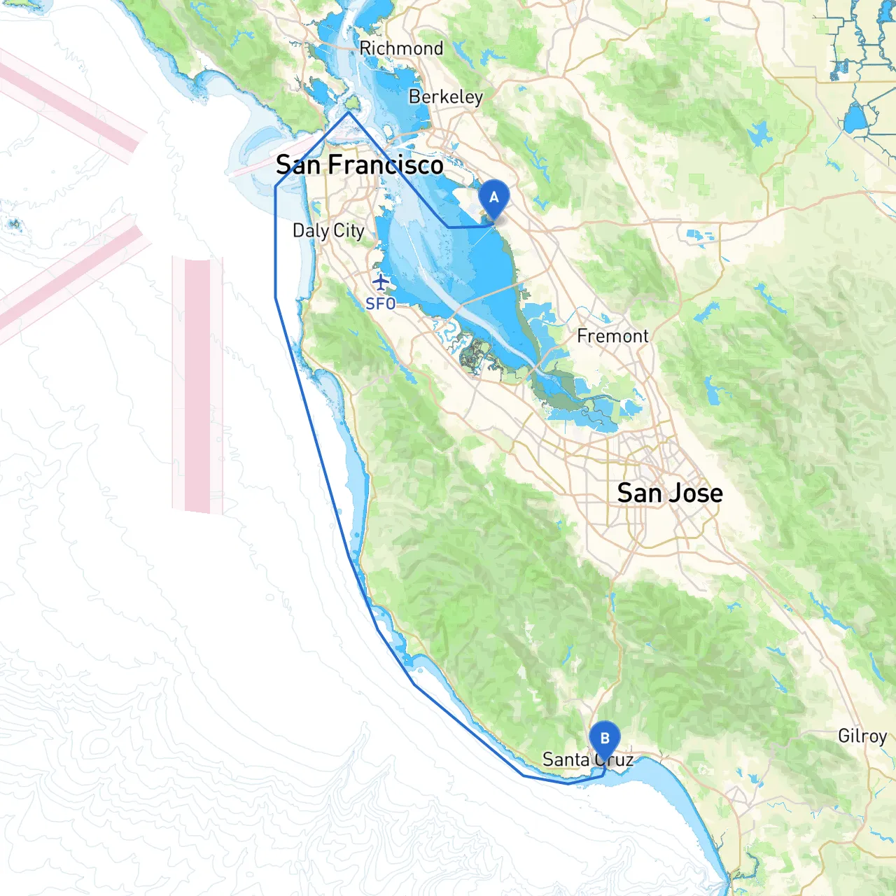
Starting Point: San Leandro, CA
Depart from the scenic San Leandro Marina, where you can take a moment to enjoy the picturesque bay views and perhaps grab a quick breakfast at a local café. The marina offers well-maintained facilities, making it an ideal launching point for your journey.
Segment 1: San Leandro to Alameda Point (Approx. 6 nm)
Cruise across San Francisco Bay. As you make your way, keep an eye out for the San Francisco skyline to the north. The waters between San Leandro and Alameda Point can be busy with freight traffic, so stay alert. A valuable landmark is the USS Hornet Museum—worth a quick stop if you choose to explore Alameda Point.
Sheltering Option: Should inclement weather arise, Alameda Point offers a great harbor with protected waters.
Segment 2: Alameda to Oakland Estuary (Approx. 3 nm)
Continue down the Oakland Estuary. This section usually has calmer waters, but be aware of local recreational traffic. Look for the busy marinas and city skyline while proceeding southwest.
Point of Interest: The picturesque Jack London Square is just off the estuary and boasts excellent dining and shopping options—perfect for a break! The area gives a glimpse into the maritime history of the region.
Segment 3: Oakland to San Francisco Channel (Approx. 8 nm)
As you exit the estuary into the San Francisco Channel, pay close attention to local regulations. The Bay can experience strong currents, especially during tidal changes. Use navigational aids like buoys and lighthouses, such as the iconic Alcatraz Island to your starboard.
Sheltering Option: If the weather turns foul, consider heading back to the marinas in Alameda or Oakland.
Segment 4: San Francisco Channel to Half Moon Bay (Approx. 18 nm)
As you continue toward Half Moon Bay, expect more open water, which can be challenging for less experienced boaters. Keep a watchful eye for weather conditions; strong winds can whip up seas quickly. Ensure your navigation tools are handy, like GPS and nautical charts.
Sheltering Option: Half Moon Bay is an ideal stopover point, with a safe harbor and local amenities. Famous for its beaches and restaurants, it's a great spot to relax before heading down to Santa Cruz.
Segment 5: Half Moon Bay to Santa Cruz (Approx. 25 nm)
The last leg takes you south toward Santa Cruz. Enjoy the coastal views as you navigate the coastline. Be mindful of the Point Año Nuevo wildlife refuge; it doesn't just bring stunning vistas but is also home to elephant seals—an incredible sight during the right seasons.
As you approach Santa Cruz, you’ll be greeted by the iconic Boardwalk and lively beach atmosphere. Use your navigation tools to enter the harbor safely, noting the entry buoys and commercial traffic.
To enhance your trip planning and on-water navigation, consider utilizing apps like:
This pilotage plan of a journey from San Leandro to Santa Cruz not only fosters adventure and discovery but puts safety at the forefront. By being mindful of local navigation aids, weather patterns, and safe anchorages, your boating experience will be both enjoyable and secure. Whether you’re looking to escape for a day or a weekend, this route encapsulates the beauty and excitement of California's coastline—an unforgettable experience awaits!