
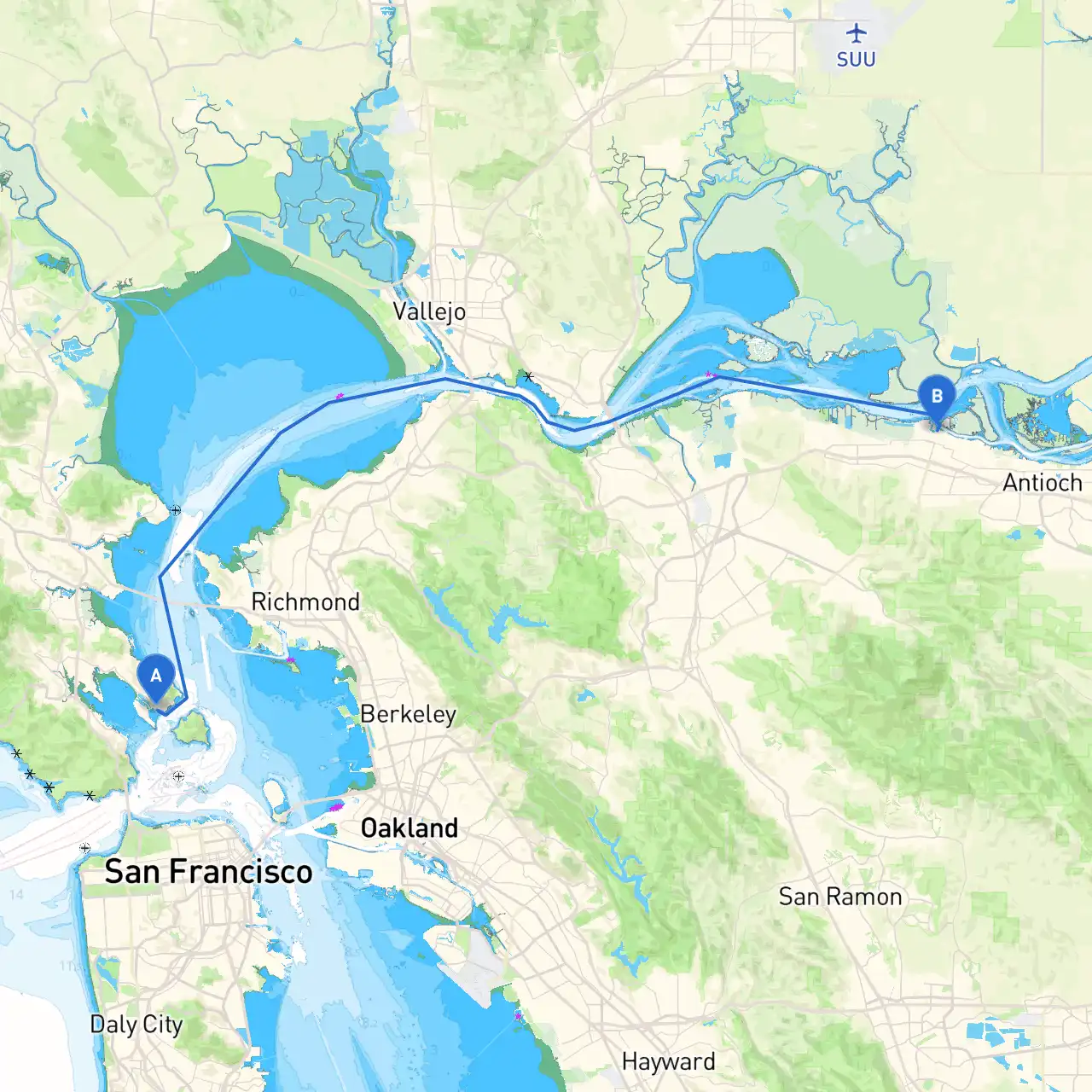
Pilotage Plan: San Francisco, CA to Pittsburg, CA
Overview:
Embarking on a boat trip from San Francisco to Pittsburg offers a wonderful blend of scenic views, navigational challenges, and the chance to explore unique nautical attractions. This route is particularly suitable for experienced boater looking for a moderate journey, where safety remains the top priority. As you navigate through the waters around the San Francisco Bay and the Delta, you'll encounter varied conditions, so preparedness is key.
Section 1: Departure from San Francisco
Starting your voyage at the coordinate (37.8736, -122.4576), San Francisco is well-known for its iconic Golden Gate Bridge and vibrant waterfront. Before departing, ensure your vessel is seaworthy, stocked with necessary safety gear, and everyone on board is briefed on emergency protocols.
Safety Note:
Keep an eye on fog conditions, which can develop rapidly in the Bay. A sound navigation system or GPS is crucial for this stretch.
Navigational Aids:
Adhere to the local navigation markers around the Bay, particularly around Alcatraz Island, which you’ll pass on the starboard side. Be mindful of commercial boat traffic, especially ferries traveling between San Francisco and nearby islands.
Section 2: Navigating Liu Bay and Angel Island
As you clear the bay, head towards Liu Bay, a calm anchorage perfect for temporary shelter if weather conditions worsen. This area offers stunning views of Angel Island, which is a popular spot for nature walks and picnics. Taking a break here allows for a refreshing hike and a chance to stretch before continuing your journey.
Hazards to Note:
Be cautious of tide changes in the vicinity of Angel Island, as they can affect your boat’s maneuverability. Always check the tide charts prior to your stop.
Section 3: Transiting Richmond-San Rafael Bridge
Continuing northeast, you’ll approach the Richmond-San Rafael Bridge. Navigation here requires close attention to the channels accommodating both recreational vessels and commercial traffic. Look out for the bright red navigational buoys marking safe channels.
Local Regulations:
Keep an eye on the specific speed limits in this area, as there are zones intended to protect wildlife habitats. Insist on maintaining a safe distance from the bridge’s pillars.
Section 4: Entering the Sacramento-San Joaquin Delta
Once you reach the junction towards the Sacramento River, your adventure truly transforms as you enter the Delta ecosystem. The Delta is rich in wildlife and offers various points of interest such as the quaint towns of Benicia and Rio Vista along the way.
Consider planning a stop at the Benicia State Recreation Area to enjoy the parks and local culture.
Shelter Options:
In the Delta, sheltered bays such as Broad Slough and Cache Slough are perfect for an overnight anchorage, should the weather turn inclement.
Section 5: Approaching Pittsburg
As you navigate up the Delta towards Pittsburg, keep an eye on the updated hydrographic surveys, as the Delta can shift. As you approach Pittsburg, the cities of Antioch and Oakley sit invitingly on either side, presenting further opportunities for exploration or a meal.
Final Safety Tips:
Be vigilant about waterway traffic, especially near the Pittsburg Marina where it may get busy with local vessels. Also, ensure that your VHF radio is tuned to channel 16 to maintain communication with other boaters and the Coast Guard.
Conclusion:
This route from San Francisco to Pittsburg is perfect for an adventurous boater seeking to explore iconic landmarks while staying connected to nature. Always prioritize safety by adhering to maritime regulations and being prepared for sudden weather changes. Planning with detail on navigational aids and harbor considerations ensures that you enjoy your cruise without compromise. For navigation assistance, I highly recommend using savvy navvy, along with other navigation apps that can keep you informed along your route.
A well-planned trip awaits you—happy cruising!