Pilotage Plan from Saint Michaels, Maryland to Bear, Delaware
Route Overview
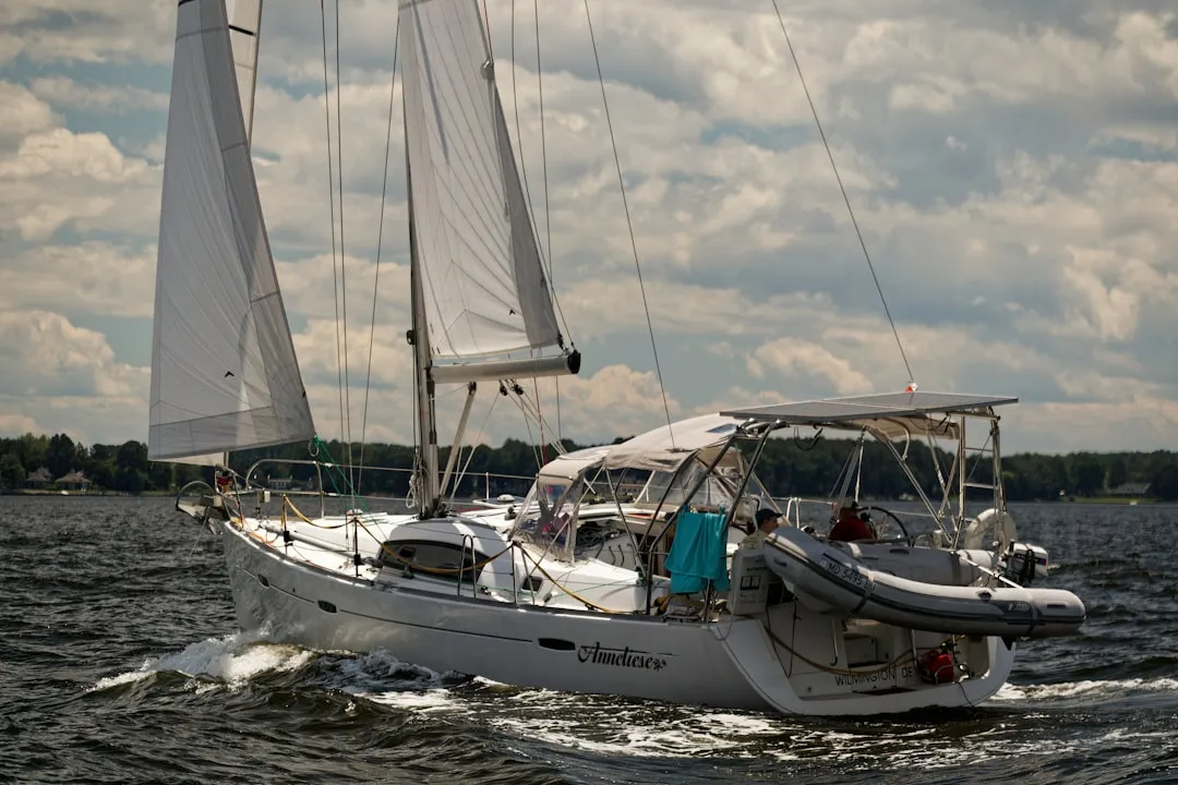
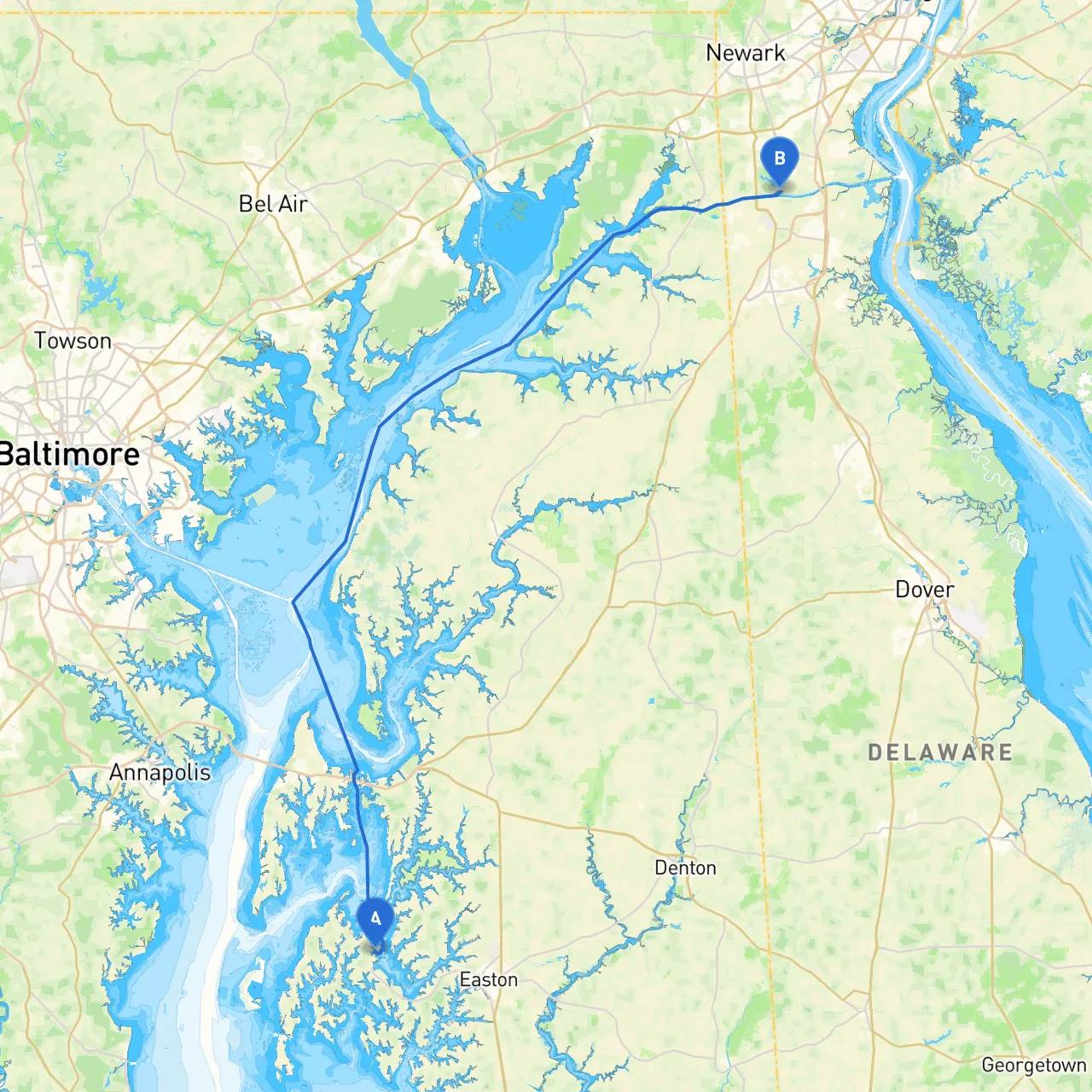
This journey from Saint Michaels, Maryland, to Bear, Delaware, spans approximately 55 nautical miles along the picturesque Chesapeake Bay and the Christina River. This route is well-suited for recreational boaters, particularly those looking to enjoy a blend of nature, history, and the thrill of sailing on open waters. Careful planning and awareness of local conditions will ensure a safe and enjoyable trip.
Start at the charming town of Saint Michaels, located on the Eastern Shore. Before setting off, take some time to explore the local attractions, such as the Chesapeake Bay Maritime Museum, which provides insight into the region's rich maritime history.
As you head out from Saint Michaels, navigate toward the Eastern Bay. This is an expansive body of water that provides ample space for cruising or enjoying some leisurely sailing.
Proceed toward the Bay Bridge, an iconic landmark that signifies your approach to the more open Chesapeake Bay waters. Keep an eye on the bridge’s height clearance and any passing vessel traffic.
Head northeast, passing through the open bay until you find the North East River. This is a serene section where you can enjoy a more relaxed pace.
From the North East River, navigate toward the Delaware Bay and ultimately to the Christina River leading into Bear.
1. Navigation Apps: Prior to setting out, download key navigation apps such as Savvy Navvy, Navionics, and MarineTraffic for live vessel tracking. These apps will enhance your situational awareness during your trip.
2. Safety Equipment: Ensure that your boat is equipped with necessary safety gear including life vests, a first aid kit, fire extinguishers, and flares.
3. Communications: Keep a reliable means of communication on hand, such as a VHF radio, which will help you stay in touch with local coast guard and marinas along the way.
4. Weather Monitoring: Continuously monitor the weather throughout your journey. The Chesapeake can be unpredictable; having a backup plan in case the weather changes is key.
This route from Saint Michaels to Bear presents a harmonious blend of scenic beauty and seafaring adventure, complete with historical charm and abundant opportunities for safe stopping. Careful navigation, awareness of local regulations, and preparation for changing weather will ensure a smooth and enjoyable trip for recreational boaters, whether you’re an experienced sailor or a family seeking a fun day out on the water. Happy cruising!