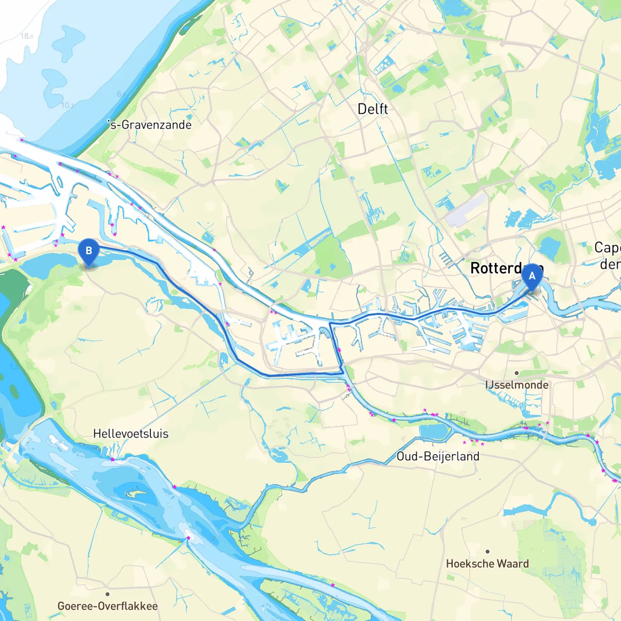
This pilotage plan outlines a safe and scenic route from the vibrant city of Rotterdam to the tranquil village of Oostvoorne. Ideal for experienced, leisure-loving boaters, this journey promises both stunning views and essential safety precautions.
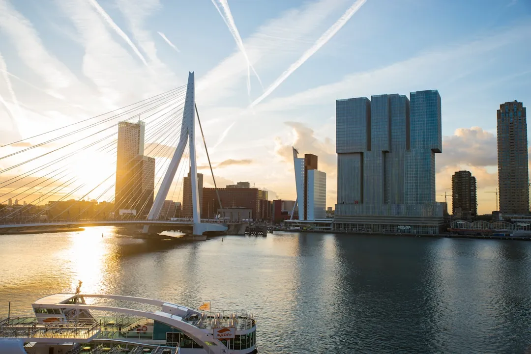
Starting your adventure at the bustling port city of Rotterdam will provide you with a wealth of local amenities. Make sure to fuel up and check your vessel's safety equipment before setting out. As you navigate away from the port, keep in mind the busy shipping lanes; large vessels will be common, so using a lookout and maintaining a safe distance is crucial.
Rotterdam’s coordinates are 51.9099° N, 4.4999° E, and as you leave, you’ll want to follow the Maas River southward. Pay particular attention to the traffic management signals and relevant navigational aids around this heavily trafficked area. Always heed local regulations regarding navigable waters, especially in proximity to the various docks.
As you depart, the following navigational aids will guide you:
1. Maas Entrance Light (Fl.R.5s): This light aids in identifying the mouth of the Maas, signaling that you're on the right course.2. Windmills of Kinderdijk: A picturesque detour! Though slightly off your course to the east, these famous windmills are a UNESCO World Heritage site and worth exploring.
1. Dordrecht: A town known for its canals and historical buildings. Consider a brief stop here for lunch, enjoying a peaceful canal-side café.2. BovenMerwede: As you head towards the Boven Merwede river, give attention to the channel depth and adjust your approach during low tide.
Should the weather take a turn for the worse, Eemhaven and the surrounding bays would offer a safe harbor. Both locations have adequate facilities and shelter from wind and waves, making them perfect for waiting out inclement weather.
As you progress further towards Oostvoorne, keep a lookout for the Voordelta, a marine reserve offering stunning natural landscapes and diverse wildlife.
You’ll want to pass Hoek van Holland, where the North Sea meets the river. Strong currents and tides can be encountered here; hence, thorough checking of tide tables and weather forecasts is necessary. Navigational aids include:
Approaching Oostvoorne, you’ll see lush greenery and sandy beaches. The coordinates, 51.9236° N, 4.1067° E, signify the harbor entry into this quaint village.
Upon arrival, check in with local marina authorities and look out for spots where you can moor your boat safely. Oostvoorne offers various recreational activities, including cycling trails and local eateries.
To further ensure safe navigation, consider downloading these boating apps:
This route from Rotterdam to Oostvoorne is not just a journey; it’s a blend of vibrant city life, historical landmarks, and the serene beauty of the Dutch coastline. With a focus on safety, coupled with unforgettable sights, you'll find this trip to be an enriching experience both on and off the water.