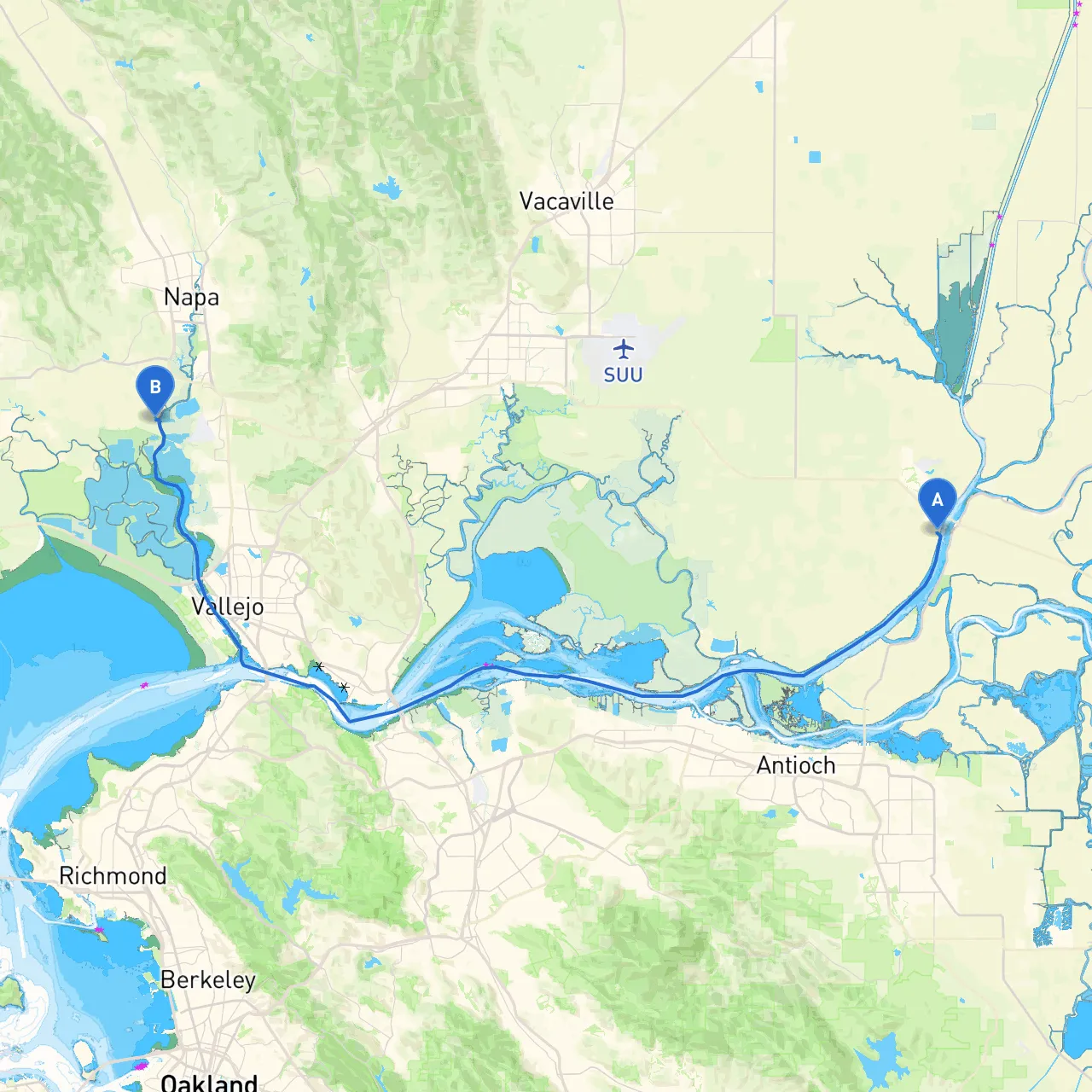
Pilotage Plan: Rio Vista, CA to Napa, CA
Start Point: Rio Vista, CA Coordinates: -121.6938, 38.1498 Rio Vista is a fantastic starting point, nestled at the confluence of the Sacramento and San Joaquin Rivers. The area features a vibrant boating community and is an excellent base for your journey. Before departure, ensure your vessel is well-equipped with safety gear, including life jackets, fire extinguishers, and signaling devices.
Route Overview The distance from Rio Vista to Napa is approximately 18 miles, and the journey can be completed in about 4 to 5 hours under normal conditions. The route generally follows the Sacramento River, leading into the Napa River, providing a mix of riverine cruising and scenic views of Northern California's landscapes.
Points of Interest and Bays for Sheltering
Should the weather turn unfavorable, consider heading back towards the Sacramento River or diverting into the Napa River Estuary. It offers a safe harbor and is well-charted. The winds can be strong in the afternoon, especially in the delta regions, making it essential to keep an eye on the weather report.
Navigational Considerations As you start, stay vigilant for the navigation buoys and markers delineating the deep and shallow waters of the river. While the main channel is usually deep enough for most recreational boats, areas like the shallows near the confluence (where the Sacramento meets the San Joaquin) can present hazards, especially at low tide.
Key Navigational Aids:
Local Regulations:
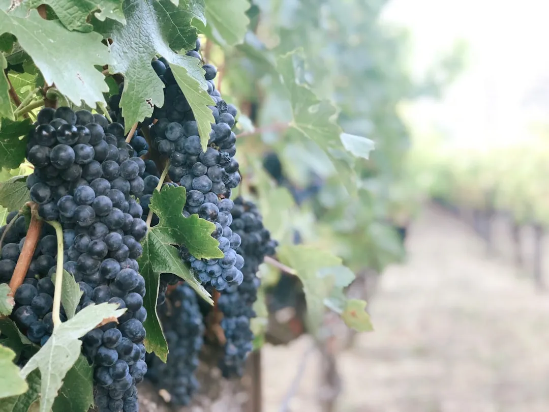
Ending Point: Napa, CA Coordinates: -122.3138, 38.2197 Arriving in Napa, the local vineyards and charming downtown offer plenty to explore. The Napa River here is wide and navigable, allowing access further upstream for those intrigued by the scenic wine country.
Boater Suitability: This route is particularly suitable for intermediate boaters familiar with river navigation. The trip provides an excellent blend of natural beauty and accessibility to amenities, making it perfect for a leisurely day cruise or an adventurous weekend getaway. It’s important to have a good grasp of local navigation and weather conditions to ensure a smooth journey.
For your trip, I recommend downloading a few reliable boating apps like Savvy Navvy, Navionics, and Windy to keep an eye on weather and navigational charts in real-time. These tools can enhance your experience and help you make informed decisions while on the water.
Wishing you a safe and enjoyable adventure from Rio Vista to Napa! Navigate wisely, respect the waterways, and most importantly, enjoy the beautiful scenery that this route has to offer.