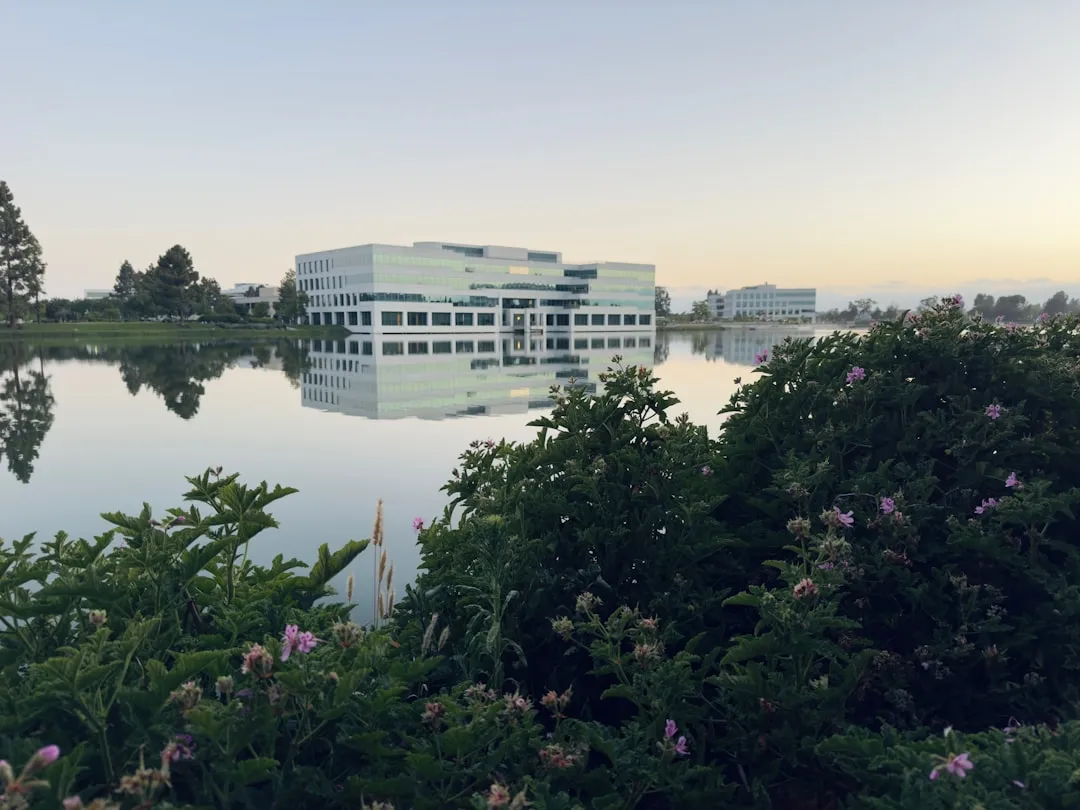
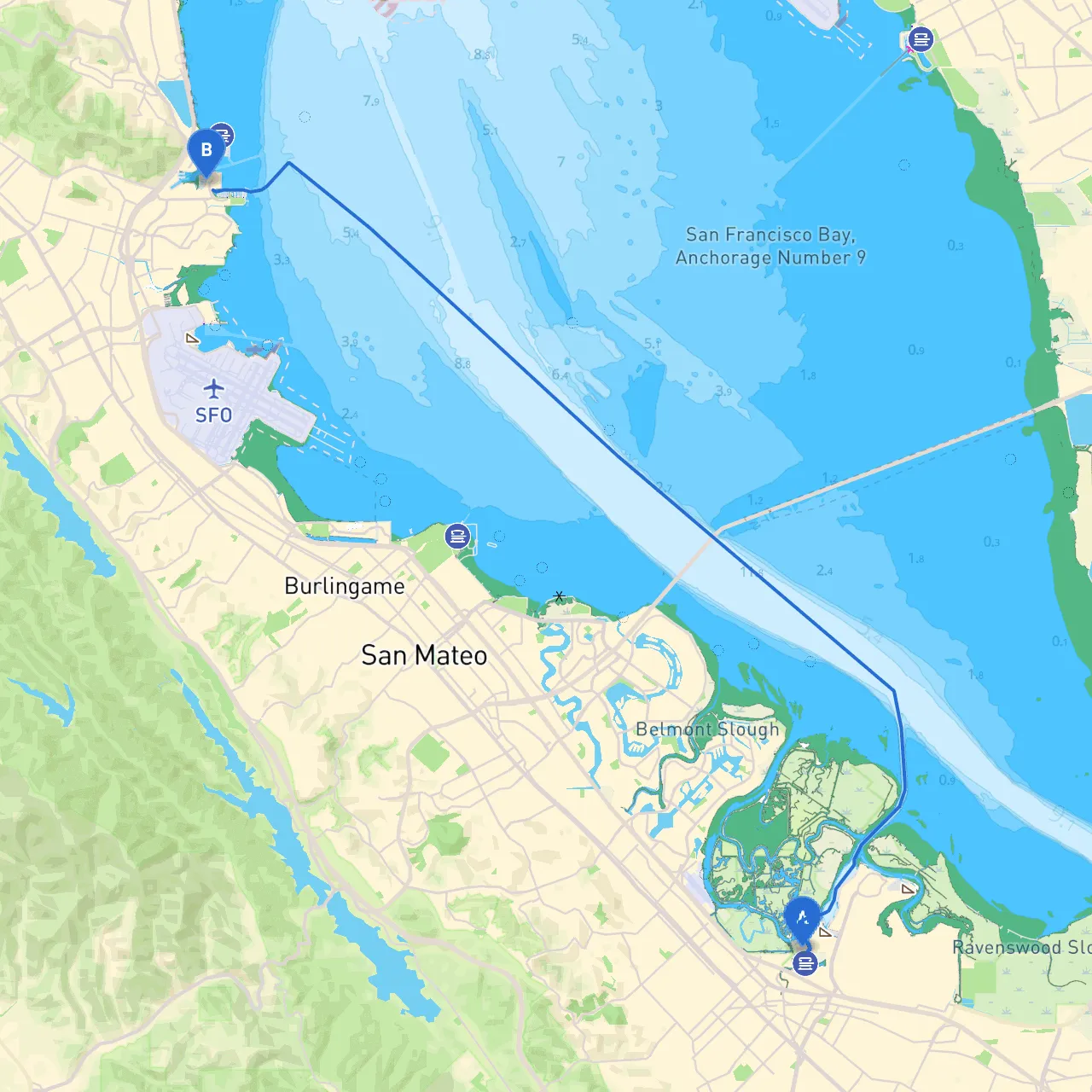
Route Overview:The journey from Redwood City to South San Francisco spans approximately 18 nautical miles and winds primarily through protected bay waters, offering a mix of scenic views and safe havens along the way. This route is ideal for leisure boating enthusiasts who value safety, convenience, and the allure of exploration.
Before setting sail, make sure your vessel is fully prepared and equipped for a day’s journey. Check the marine weather forecast, as conditions can change rapidly in the San Francisco Bay area. The channel through Redwood City is well-marked, but be mindful of swinging bridges and local traffic.
1. Smith Slough (approximately 2 NM from departure): This side slough offers a scenic backdrop with opportunities for bird watching. If conditions become inhospitable, the protected waters here can serve as a temporary haven.
2. Bair Island (approx. 4 NM): A natural preserve that allows for some phenomenal wildlife viewing. There are no formal docks, but the surrounding waters provide a good spot to anchor for lunch or a nature walk along the edges of the bay.
3. Redwood Creek (approx. 5 NM): This small inlet provides a sheltered area for boaters. The area is rich in history; you might see remnants of the area's lumber industry. A short jaunt can deliver you to a peaceful creek where you can enjoy nature.
4. Coyote Point (approx. 8 NM): As you approach this area, pay attention to the Coyote Point Marina, which offers facilities, gas, and dining. This is an excellent stopping point if you want a break, offering quick access to the waterfront parks.
5. The San Mateo Bridge (approx. 10 NM): While this is a significant navigational landmark, beware of the currents that can be noticeable in this area. Stay within marked channels to ensure a safe passage under the bridge.
Navigating from Redwood City to South San Francisco is relatively straightforward due to the well-marked channels. However, keep the following tips in mind:
Upon reaching South San Francisco, you will arrive at a thriving waterfront area. This location allows for further exploration, including attractions such as:
For a more enjoyable and safe boating experience, consider using reliable marine navigation apps. Recommended apps include:
Embarking on this adventure from Redwood City to South San Francisco promises a memorable day on the water, rich with opportunities for observation and exploration, all within a framework of safety and comfort. Enjoy your journey!