
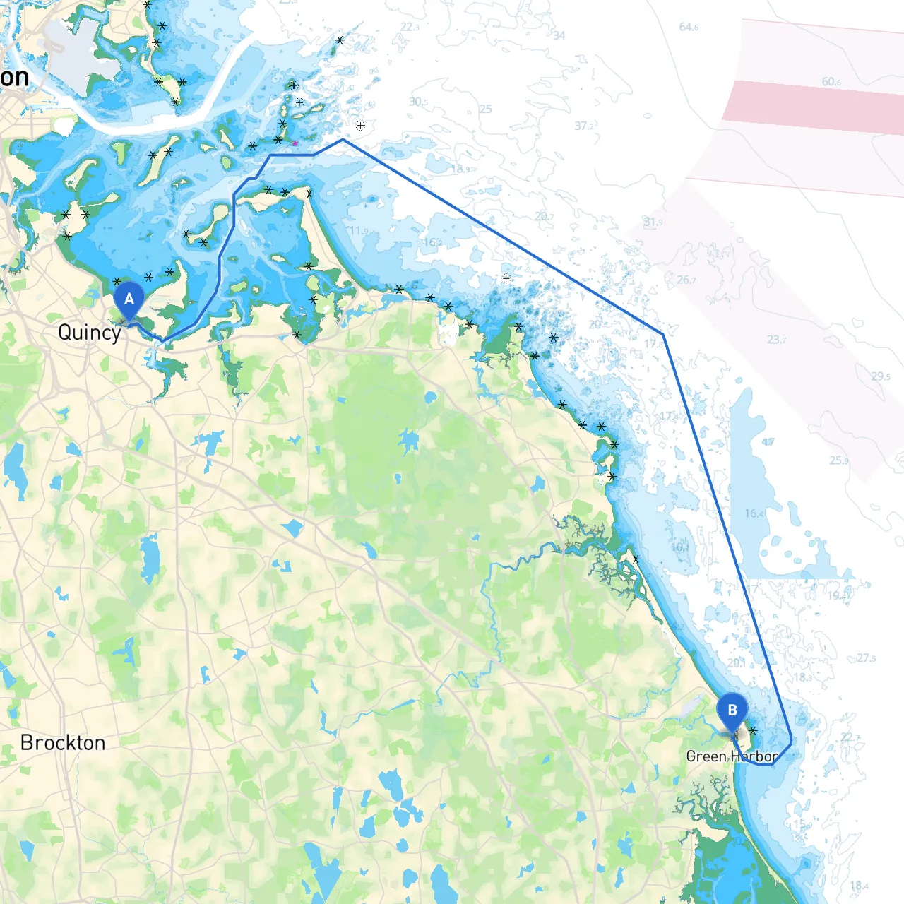
This charming route from Quincy to Marshfield offers the opportunity to explore the stunning coastline of Massachusetts, making it ideal for recreational boaters and families seeking a safe and enjoyable experience. The journey is roughly 14 nautical miles, transitioning through various waterways and giving you the chance to embrace both natural and historical landmarks.
1. Starting Point: Quincy, MA (42.2533° N, 70.9817° W)2. Ending Point: Marshfield, MA (42.0853° N, 70.6495° W)3. Distance: Approximately 14 nautical miles4. Typical Duration: 2-3 hours depending on vessel speed and conditions
When navigating from Quincy to Marshfield, keep the following in mind:
1. Navigational Aids: - Lighthouse and Buoys: Pay attention to channel markers as you approach Hingham and Scituate. Specifically, ensure you can see and identify the navigation buoys marking safe passages. - Charts: Use current nautical charts, especially for Duxbury Bay.
2. Local Regulations: - Be aware of local speed limits in specific zones, especially near residential areas and docks. Adhering to these regulations is crucial for safety and environmental reasons. - Fishing regulations may apply if you plan to fish, so review local laws ahead of time.
3. Weather Awareness: - It’s essential to check marine weather forecasts before excursions; even in mild conditions, sudden changes can occur. - Be prepared for shifts in wind direction and strength, especially if you're close to shore, where local wind patterns can change rapidly.
For smooth navigation and ensuring safety throughout your journey, consider using the following apps:
This Quincy to Marshfield journey is perfect for families and weekend cruisers who appreciate a blend of natural beauty, rich history, and safe boating experiences. Always remember to practice safe boating measures, be vigilant about the conditions, and follow local regulations. With stunning sights and the ability to find shelter quickly if needed, this trip promises an enjoyable outing on the waters of Massachusetts!