
Pilotage Plan from Queenstown, Maryland to North East, Maryland
Route Overview
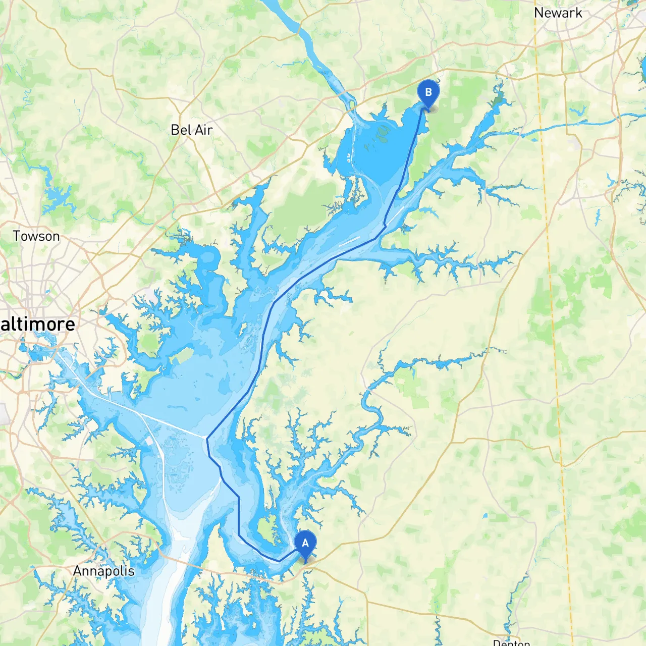
This boating trip from Queenstown to North East, Maryland is a delightful journey that showcases both the charm of the Chesapeake Bay's waterways and various points of interest along the way. Navigating through these waters is particularly suited for intermediate to experienced boaters, as the route offers a mix of open water and narrow channels, requiring careful attention to navigation and local conditions.
Departure from Queenstown
Starting at Queenstown, which lies on the eastern shore of the Chester River, you’ll set a course for the Chester River’s mouth. Before embarking, ensure your boat’s gear and safety equipment are in order—life jackets, fire extinguishers, first aid kits, and communication devices are a must. As you maneuver out of Queenstown, keep an eye on the northeastern channels, as the river can be narrow and winding.
Key Navigation Points:
1. Chester River: You will be navigating along the Chester River which can be scenic yet has its hazards. Stay vigilant for shifting shoals in certain areas when the tide is low. The navigational aids in this region are typically marked and well-maintained—look for buoys indicating safe passages.
2. Sandy Point Park/Chester River: Once you reach Cedar Point, you may want to consider standing to allow the boat to drift for a few minutes to enjoy the serenity of the area.
Points of Interest:
Main Waterway to North East:
Once you navigate past the Sassafras, head to the Chesapeake Bay towards the North East River entrance. This area features beautiful landscapes but entails careful navigation, particularly with seasonal fishing nets and other watercraft engaging in recreational activities.
Shelter Bays:
Arrival at North East
As you approach the North East River, you’ll appreciate the welcoming ambiance of the area. The river has well-marked channels, but caution is necessary as shoaling can occur. Navigational aids in the area are essential for safe approach and dock entry. Don’t forget to monitor local marine radio channels for the latest updates on water conditions and any marine events that may be occurring.
General Safety & Regulations:
Boating in this region requires attention to several regulations:
Recommended Apps:
For ease of navigation and enhanced safety during your journey, the following boating apps are highly recommended:
This pilotage plan outlines a safe yet enjoyable cruise from Queenstown to North East. The route’s blend of scenic points, protective bays, and well-maintained navigational aids makes it an exceptional choice for boaters wishing to explore the beautiful Chesapeake Bay region while maintaining a strong focus on safety. Enjoy the journey!