
Starting Point: Put-in-Bay, Ohio (Coordinates: -82.8114, 41.6588) Ending Point: Pelee Island, Ontario, Canada (Coordinates: -82.6583, 41.81265)
This journey from Put-in-Bay to Pelee Island is not just a crossing but an exploration of one of the most picturesque areas in the Great Lakes. The waters are relatively sheltered, making it suitable for confident boaters, though always vigilant of weather changes and any navigational hazards. Both destinations offer a blend of tranquility and adventure that will appeal to seasoned cruisers and weekend sailors alike.
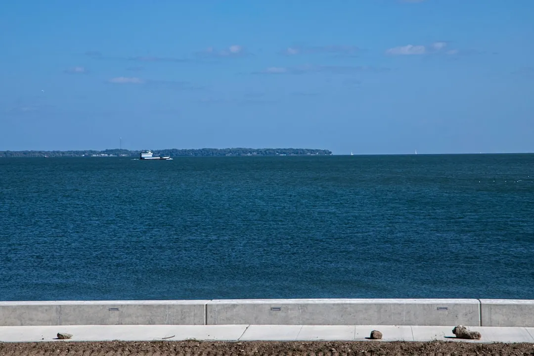
Leg 1: Put-in-Bay to Pelee Island (Approx. 20 nautical miles)
1. Departing Put-in-Bay: As you set off from the bustling harbor of Put-in-Bay, ensure that your navigation equipment is ready, and that you monitor the weather conditions. This area is known for sudden weather shifts due to its proximity to Lake Erie.
2. Navigational Aids: - Lakeside Light: Keep an eye on the Lakeside Light as you exit Put-in-Bay harbor. It’s located about 3 nautical miles northeast and is an essential marker as you head into the open waters. - South Bass Island Light: This can be a good visual reference when you are nearing the middle of your route. - Pelee Passage: Enter Pelee Passage, which is the stretch of water that separates Pelee Island from the US coast.
3. Points of Shelter: - Kelleys Island: Should conditions turn unfavorable, Kelleys Island, only about 7 nautical miles to the west of Put-in-Bay, provides a sheltered bay suitable for temporary refuge. The island features beautiful parks and hiking trails should you decide to explore while waiting out bad weather. - Middle Bass Island: Located along your route, this island features a small marina and can be an additional option for safe docking and exploration.
4. Staying Alert: Pay attention to the navigational buoys and local regulations regarding fishing and boating to ensure compliance with both US and Canadian laws.
Lake Erie can experience sudden changes in weather; ensure to check local forecasts before and during your trip. Invest in a reliable marine weather app, and consider savvy navvy for real-time data and route planning.
1. Vessel Readiness: Ensure your boat is well maintained and fully equipped with life jackets, flares, and other necessary safety gear.2. Communication: Keep a VHF radio on board. Monitor Channel 16 for emergency communications and be aware of local boat traffic.3. Environmental Respect: Follow local regulations about waste disposal and protect the sensitive ecological areas, particularly around Pelee Island.
This journey stands out not just for its practical navigation, but for the opportunities it provides to engage with nature and enjoy the unique culture of the islands. From charming harbors to the lush landscapes of Pelee Island, this route balances adventure with safety. It’s suitable for recreational boaters with moderate experience, eager to explore the wonders of the Great Lakes while respecting the marine environment.