
Pilotage Plan: Port Melbourne, VIC, AU to Williamstown, VIC, AU
Overview Starting your journey from Port Melbourne offers an exciting cruise across the bay to Williamstown, a charming historic maritime village with some delightful spots to explore. This best-suited route for recreational boaters prioritizes safety while still allowing you to relish the beauty of Port Phillip Bay. It's perfect for day-trippers, families seeking leisure activities, or seasoned mariners looking for a relaxed day on the water.
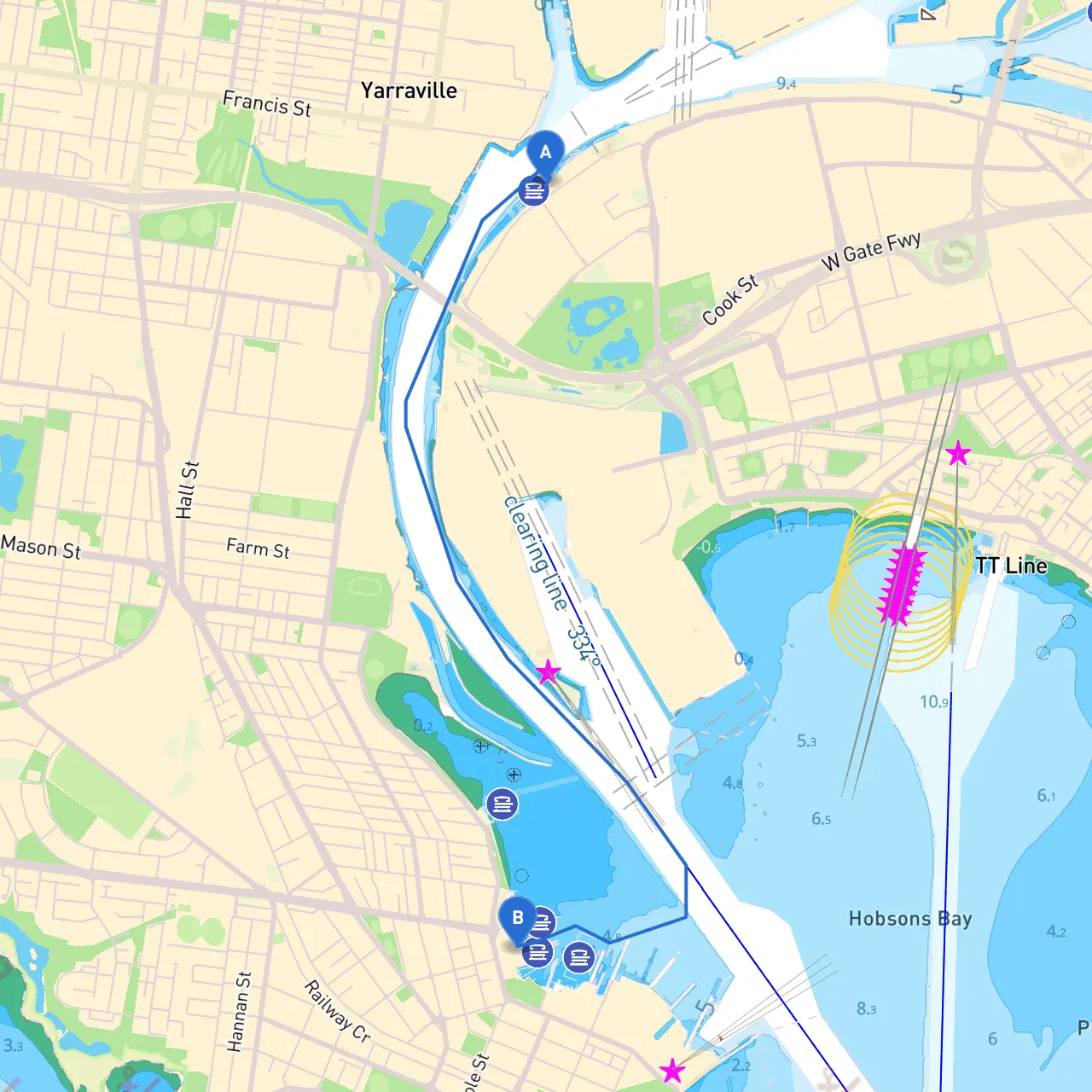
1. Departure from Port Melbourne As you set out from Port Melbourne, you'll likely want to navigate around the bustling marine traffic. This harbor is a mix of commercial vessels, ferries, and recreational boats. The first step is to head westward along the marina's edge, keeping an eye on the commercial shipping lanes. The navigation here is straightforward, but you should keep a watchful eye on the local traffic and stay within designated recreational zones.
2. Points of Interest Along the Route
3. Navigational Aids and Hazards As you make your way to Williamstown, utilize navigational aids smartly. Watch for:
4. Recommended Shelter Points Should you face deteriorating weather conditions:
5. Approaching WilliamstownAs you near Williamstown, the approach is pleasant with views of its historic architecture and the docks. Pay attention to local yacht races and activities which may affect water traffic. Entering the marina here, be aware of the mooring rules, since this area is popular among recreational boaters and local fishing communities.
6. Local Regulations Before you set off, it's crucial to be familiar with local regulations. These include speed limits in certain zones, especially near the shore and in marinas. Always keep a lookout for signage indicating no-swimming areas or wildlife protection zones.
7. Recommended Boating Apps To enhance your journey, I’d recommend downloading a few useful apps:
This itinerary isn't just a trip from one port to another; it’s an experience filled with scenic beauty, rich history, and ample opportunities for on-water adventure. By prioritizing safety while navigating through Port Phillip Bay’s diverse environments, you're sure to have a wonderful day at sea.