
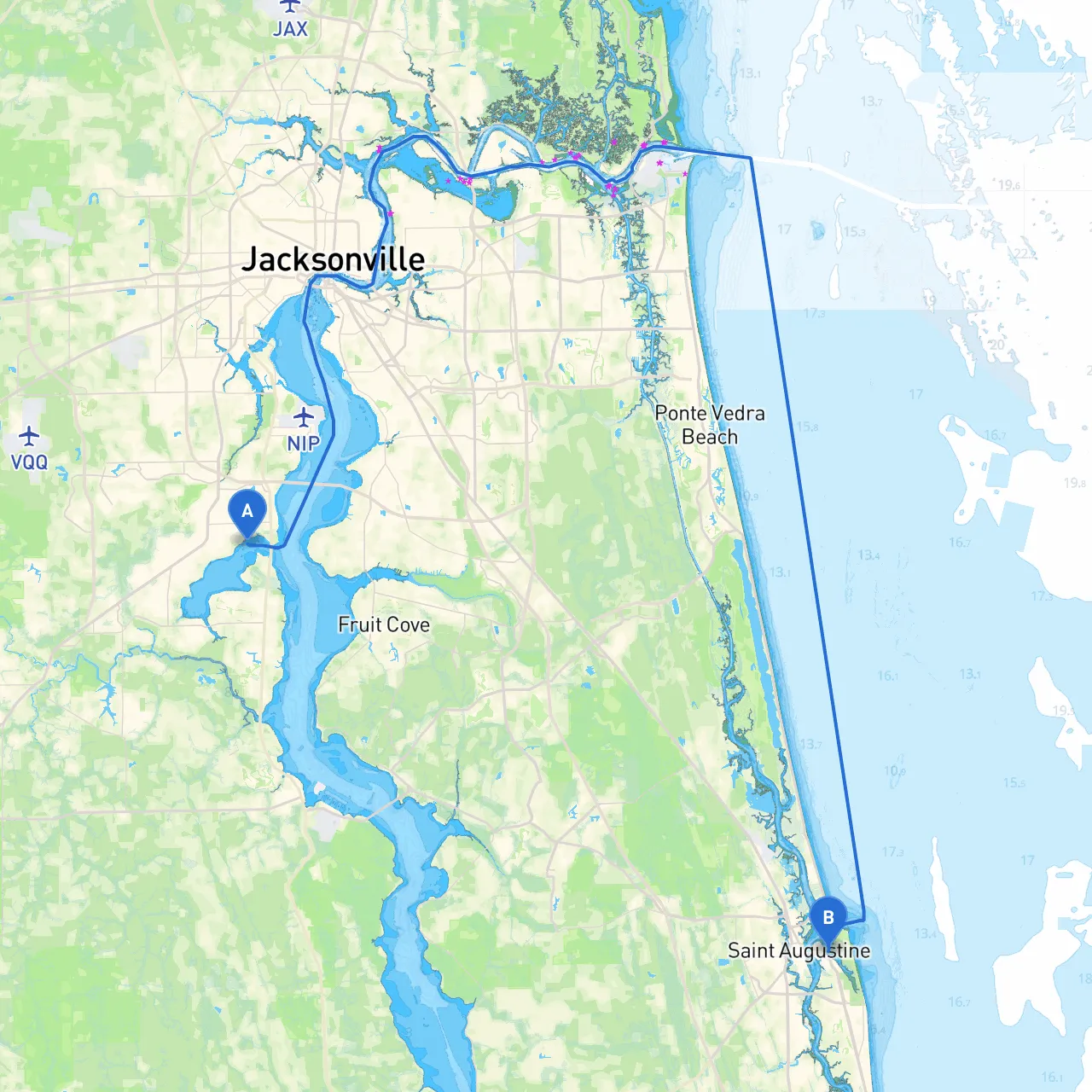
This voyage from Orange Park to St. Augustine takes you through a scenic stretch of the St. Johns River and the Intracoastal Waterway (ICW), providing an enjoyable blend of natural beauty and historical landmarks. Ideal for experienced boaters looking for a day trip or weekend getaway, this route prioritizes safety and navigational awareness while showcasing Florida's stunning waterways and coastal culture.
Coordinates: Longitude -81.7180, Latitude 30.1521
Begin your journey from the protected depths of the St. Johns River, where the calm waters offer a smooth departure. Ensure your navigation system is updated, as the currents and tidal changes can affect your course.
1. Doctor's Lake (near the first few miles): - A serene side bay for potential shelter if the weather takes a turn. Home to picturesque views and various wildlife, it’s an excellent spot for a short rest.
2. Lake George: - A larger expanse that provides ample opportunities for anchoring and enjoying nature. If you find yourself needing to break your journey, this area has room for multiple boats and decent protection from winds.
3. Welaka, FL: - This quaint town offers a chance to refuel and replenish supplies. Consider a quick stop to visit the Welaka National Fish Hatchery if time allows.
4. Hastings: - Primarily an agricultural area, Hastings is thought of more as a waypoint than a rest area. However, it serves as a navigational reference as you approach more populated areas.
As you navigate southward towards your destination, make sure to pay close attention to your surroundings, particularly as you draw near to St. Augustine:
5. The Pellicer Creek: - Before arriving at St. Augustine, this natural estuary is another excellent spot for enjoying wildlife and potentially seeking shelter.
6. St. Augustine Inlet: - Keep your eyes on the navigation aids as you approach this channel. This area can be tricky; be wary of shifting sandbars especially during low tide.
Coordinates: Longitude -81.2933, Latitude 29.8942
As you enter St. Augustine, the nation's oldest city, prepare to be captivated by its rich history and vibrant atmosphere. Here, you can dock at several marinas, enjoy dining at waterfront establishments, or explore the historic district.
This pilotage plan reflects an ideal route suited for recreational boaters keen on relaxtion and exploration while ensuring safety is paramount. From shelter in local bays to attention to navigational aids and understanding local regulations—you are well-equipped to make the most of this delightful journey across Florida's waterways.
For navigational assistance on the go, consider using navigation apps like savvy navvy, which offer real-time data that can enhance your cruising experience. Happy boating!