
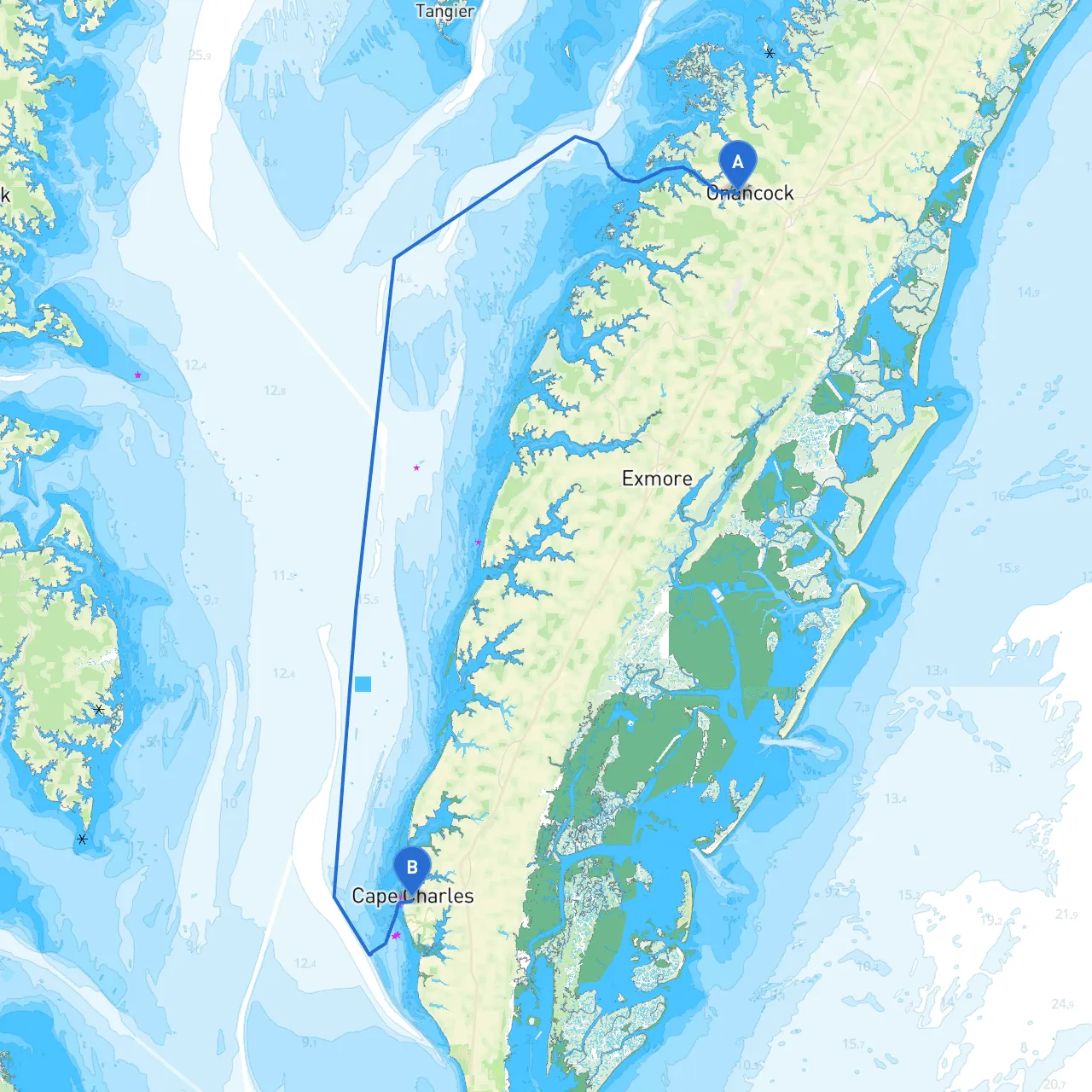
Embarking on a boat trip from Onancock, Virginia, to Cape Charles is a rewarding journey through the scenic Eastern Shore of Virginia, characterized by tranquil waters, charming bays, and wildlife-rich landscapes. This route is particularly well-suited for recreational boaters looking to blend safety with the chance to enjoy the natural beauty and attractions along the way.
Starting Point: Onancock, Virginia Ending Point: Cape Charles, Virginia Estimated Distance: Approximately 25 nautical miles Estimated Travel Time: Depending on cruising speed, approximately 3-4 hours
1. Navigational Aids: Along your journey, keep an eye out for the various buoys and markers that guide your path through the Chesapeake Bay's intricate waterways. Pay attention to the Onancock Inlet, where it can get shallow, particularly at low tide—always refer to your charts (USCG LIGHT LIST is invaluable) for up-to-date conditions.
2. Shallow Areas: There are several shallow areas, especially as you approach the Cape Charles side. The Northampton Bay area near the entrance can have a tendency to shoal, so maintaining vigilant watch and close adherence to your charts is essential.
3. Weather Considerations: Before setting out, always check weather forecasts as conditions can change rapidly, particularly on the Bay. It is prudent to have a good understanding of potential wind speeds and wave conditions.
4. Local Regulations: Be aware of speed limitations in certain areas, particularly around marinas and residential zones, as well as fishing restrictions that may apply based on the time of year.
For navigation and to keep updated on weather changes during your trip, consider using the following apps:
This trip from Onancock to Cape Charles encapsulates the beauty and tranquility of Virginia’s coastline while providing crucial opportunities for safety and pause. With diligent preparation—keeping an eye on navigational aids, weather patterns, and local regulations—you’re set for an enjoyable cruise, perfect for families, friends, or solo adventurers. Enjoy the open water, the fresh air, and the picturesque views awaiting your discovery!