
Pilotage Plan: From Olga, WA, US to North Pender Island, BC, CA
Departure Point: Olga, WA, US
Starting from the quaint community of Olga on Orcas Island, prepare for a spectacular journey through the San Juan archipelago and into the Gulf Islands of British Columbia. Before setting out, check the local weather conditions and tides, as conditions can change rapidly in this region. For this trip, it's wise to ensure you have the latest nautical charts and apps onboard, such as Navionics or the invaluable Savvy Navvy for real-time data and updates.
Route Overview:
The direct route from Olga to North Pender Island measures approximately 24 nautical miles. This course will take you past stunning vistas and navigational hazards, so it’s important to stay focused and aware.
Leg 1: Olga to Deer Harbor
Distance:Approximately 4 NM
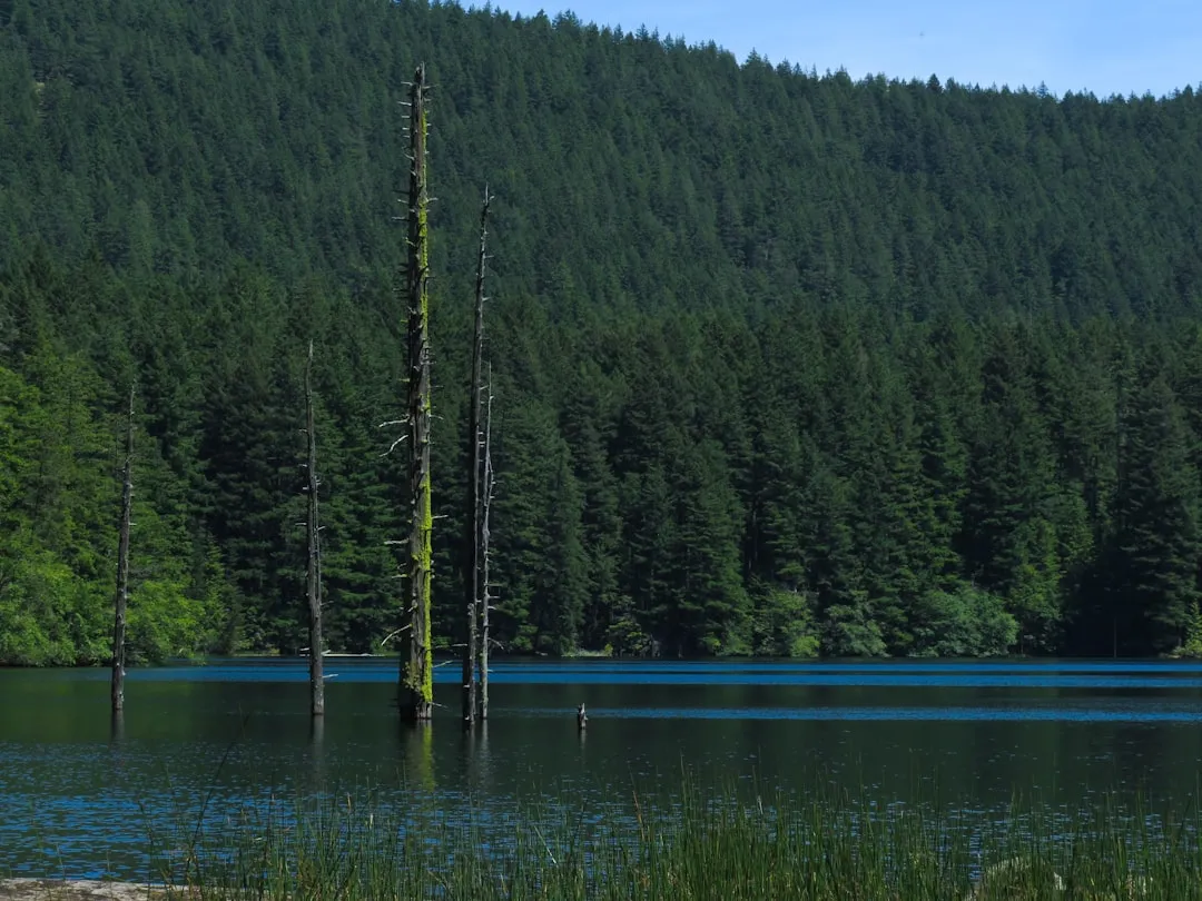
Points of Interest:As you leave Olga, set a course for Deer Harbor. This nearby harbor is a great first stop, rich in marine life and home to several whale watching tours. The natural beauty of Orcas Island is enchanting, with lush forests lining the shoreline.
Hazards:Watch for vessels moored in the harbor and keep an eye on shallows as you navigate through the waters.
Leg 2: Deer Harbor to Lopez Island, Fisherman Bay
Distance:Approximately 8 NM
Navigation Considerations:After leaving Deer Harbor, head southwest toward Lopez Island and Fisherman Bay. As you approach Fisherman Bay, be mindful of tides and currents, particularly during peak ebb or flood. The bay provides excellent shelter in case of inclement weather.
Local Insights:Fisherman Bay is sheltered and offers dining options for a quick meal or a leisurely lunch before continuing your journey.
Leg 3: Fisherman Bay to South Pender Island
Distance:Approximately 6 NM
Notable Landmarks:When heading towards Pender Island, you’ll pass through the beautiful waters off the southern tip of Lopez Island. Keep an eye out for the picturesque beaches and forested coastlines typical of the region.
Navigational Aids:Pay attention to the navigation buoys marking the route, especially approaching Haro Strait, known for its currents. The Pender Island ferry terminal is a good landmark to navigate toward for a safe docking point.
Leg 4: South Pender Island to North Pender Island
Distance:Approximately 6 NM
Final Approach:As you near North Pender Island, the waters will open up, giving way to stunning views of the Gulf Islands. Make sure your chart is ready to identify the buoys and ensure you are within navigational channels away from rocky outcrops.
Sheltering Options:If the weather begins to turn, consider the options of mooring at Otter Bay Marina or Plumper Sound, which provide safe havens from wind and rough seas.
Arriving at North Pender Island
Once you reach North Pender Island, you can enjoy the relaxation that this island lifestyle offers. There are various outdoor activities available, from hiking trails to exploring beach coves.
Safety and Local Regulations:
As with any boating excursion, safety remains paramount. Ensure everyone aboard is wearing PFDs, maintain a proper lookout, and adhere to speed limits, especially near mooring areas and marinas. The Canadian waters require compliance with entry requirements, so ensure all documentation is in order for crossing into British Columbia.
Before you head out, check for local advisories regarding fishing regulations or environmental protection areas that may impact your route.
This itinerary emphasizes safety while showcasing the breathtaking nature of the Pacific Northwest. Whether you’re a seasoned boater or a leisurely weekend navigator, this trip offers a perfect balance of stunning scenery and sheltered exploration, making it a remarkable boating experience.