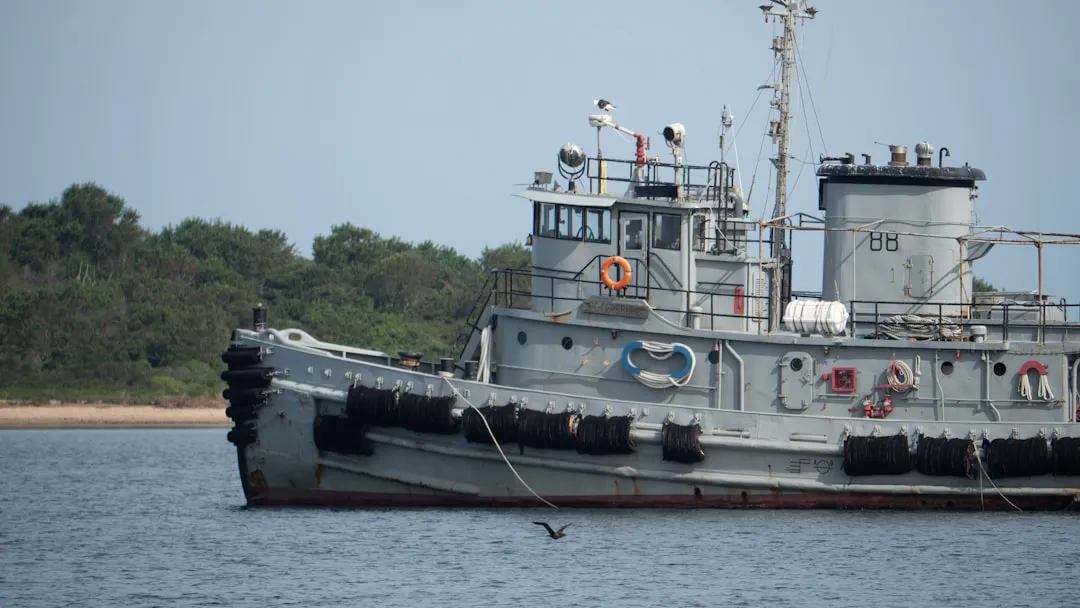
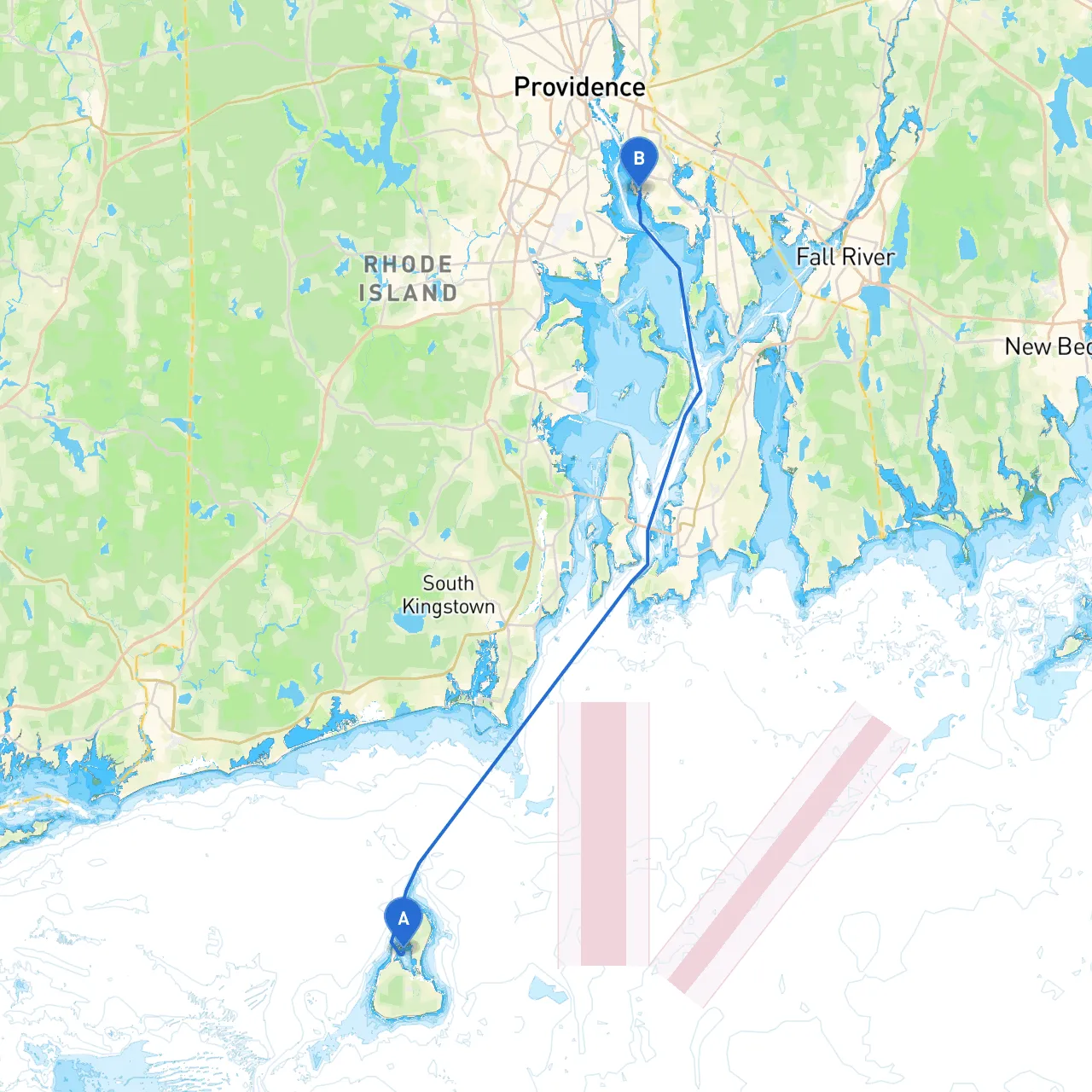
New Shoreham, the only town on Block Island, serves as the departure point for this adventurous cruise. With its stunning coastal beauty, it is a charming area where you can take a moment to enjoy the vibrant culture and picturesque beaches before setting sail. Ensure that your vessel is prepared, and check the weather conditions, as well as any marine advisories for the area.
1. Block Island Sound Crossing - Distance: Approximately 11 nautical miles. - Navigate out of New Shoreham harbor, following the marked channel. Be mindful of the shallow areas close to the coastline. Block Island Sound can generate significant seas, so keeping a close eye on weather forecasts is crucial. - Points of Interest: You can take a brief detour to visit Block Island, known for its beautiful beaches and hiking trails. Consider stopping at Great Salt Pond for a sheltered harbor if conditions worsen.
2. Approaching the mainland: Narragansett Bay - After crossing the sound, you will enter Narragansett Bay. This transition is key as the waters become more enclosed. Watch for commercial traffic, especially ferries and fishing vessels, in this busy waterway. - Notable Navigational Aid: The Point Judith Lighthouse (located on the southern tip of Narragansett) offers a great visual landmark to ensure you are on the right track.
3. Navigating Narragansett Bay - Distance: Approximately 8 nautical miles to the Providence River entrance. - As you navigate the bay, take care to follow the buoys marking the channel. Depth can vary, so it’s best to use electronic charts or GPS to keep track of your position. You might also encounter shallow spots and shoals, particularly near the edges of the channel. - Points of Interest: Along this stretch, look out for the historic Fort Adams State Park on your right. This location often offers events and is a good spot to anchor if you want to explore.
4. Entering the Providence River - Watch for the marked entrance to the Providence River, adhering to the side navigation markers. This can be busier with recreational and commercial traffic, so maintaining a proper lookout is essential. - Notable Landmarks: As you head north, the waterfront skyline of Providence provides a stunning view. The State House can be readily identified and is a great marker as you progress.
5. Final Destination: East Providence - Your journey culminates in East Providence. As you approach the coastline, prepare for a variety of facilities to dock and explore. - Notable Site: The East Bay Bike Path offers beautiful recreation opportunities nearby if you're looking to stretch your legs after your cruise.
This cruising itinerary showcases safe navigation while allowing for enjoyable experiences along the way, catering specifically to boater safety and navigational awareness. Enjoy your voyage!