Overview
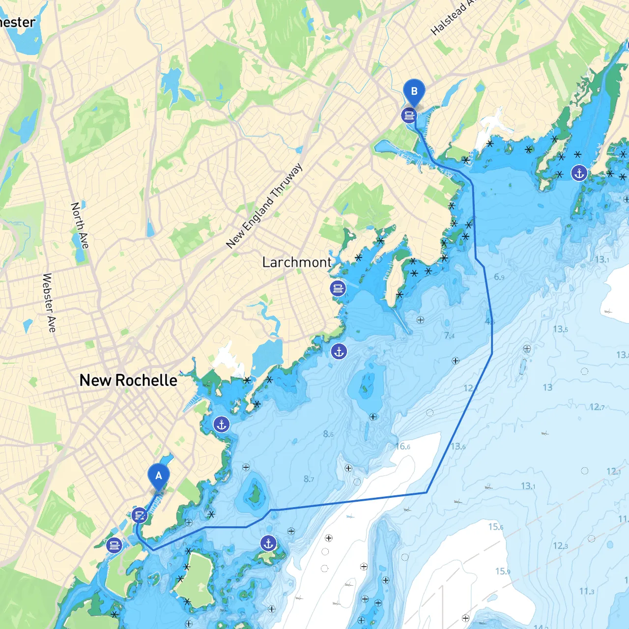
This trip from New Rochelle to Mamaroneck is perfect for leisure boaters who enjoy scenic views and want to experience the beauty of Long Island Sound. As you navigate along this route, you’ll encounter a mix of protected bays, charming waterfront communities, and notable landmarks that reflect the region's maritime culture. Safety is paramount, so we will highlight hazards, navigational aids, and local regulations throughout the journey.
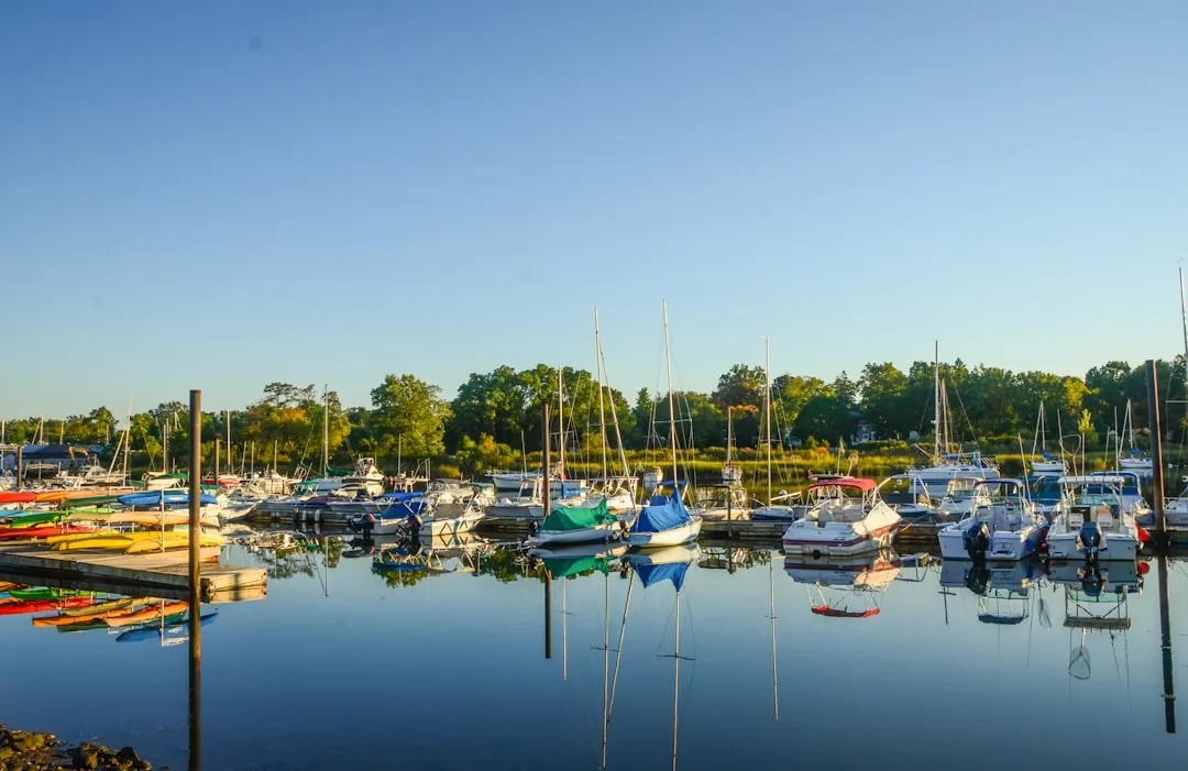
Starting Point: New Rochelle, NY (Long/Lat -73.777, 40.8957)
Departing from New Rochelle, you’ll exit the harbor on a northward course. Keep a keen eye out for the following navigational cues:
1. Navigational Aids and Hazards: - Green Can Buoy: As you exit the waters, ensure you follow the marked channels, paying close attention to green can buoys. These are vital in identifying safe passages while avoiding underwater rocks and shoals. - Harbor Traffic: Be mindful of local ferry traffic and commercial vessels in and out of New Rochelle. Radio check is advisable to stay updated on local vessel movements.
Mid-Route: The Waters of Long Island Sound
As you proceed northward, open up to the picturesque views that Long Island Sound offers. This segment is generally safe but keep in mind:
2. Sheltered Bays: - Glen Island Park: A haven for boaters, Glen Island offers a quick refuge should conditions become rough. The park features picnic areas and trails for those wanting to stretch their legs. - Manursing Island: Nestled just off your path, it provides another excellent sheltering spot. Known for quiet waters, it’s a great place to wait out a storm.
3. Notable Landmarks: - Dobbs Ferry: On your starboard side, the Dobbs Ferry waterfront showcases quaint shops and cafes, perfect for a quick stop. The historic homes along the shoreline add a scenic backdrop. - The Tarrytown Lighthouse: To the west, this iconic structure is a nice photo op and a reminder of traditional maritime architecture.
Final Leg: Approaching Mamaroneck
As you get closer to Mamaroneck, maintain vigilance as the channel narrows and becomes busy with recreational traffic.
4. Navigational Aids: - Lighthouse Point: Keep this as a visual marker for entering the busy harbor waters. There are buoys that delineate safe channels into the harbor. - Regulatory Notices: Familiarize yourself with Mamaroneck’s harbor regulations, especially concerning mooring and anchoring zones. Local signage will provide further clarification.
Destination: Mamaroneck, NY (Long/Lat -73.7303, 40.9488)
Upon approaching Mamaroneck, plan to dock at the Mamaroneck Harbor, which welcomes transient vessels. Here you’ll find:
5. Local Amenities: - Restaurants & Shops: The waterfront area features a variety of dining options and shops for casual browsing or a bite to eat. - Activities: If time permits, consider exploring the nearby Mamaroneck Beach Park, ideal for a relaxing day after your cruise.
Safety Recommendations
This route from New Rochelle to Mamaroneck is safe, scenic, and full of opportunities for relaxation and enjoyment. While it presents manageable challenges, it is particularly suitable for intermediate to experienced boaters who can navigate through varying traffic conditions while enjoying the stunning maritime landscape. With careful planning and awareness of your surroundings, this journey can be both pleasant and safe. Happy cruising!