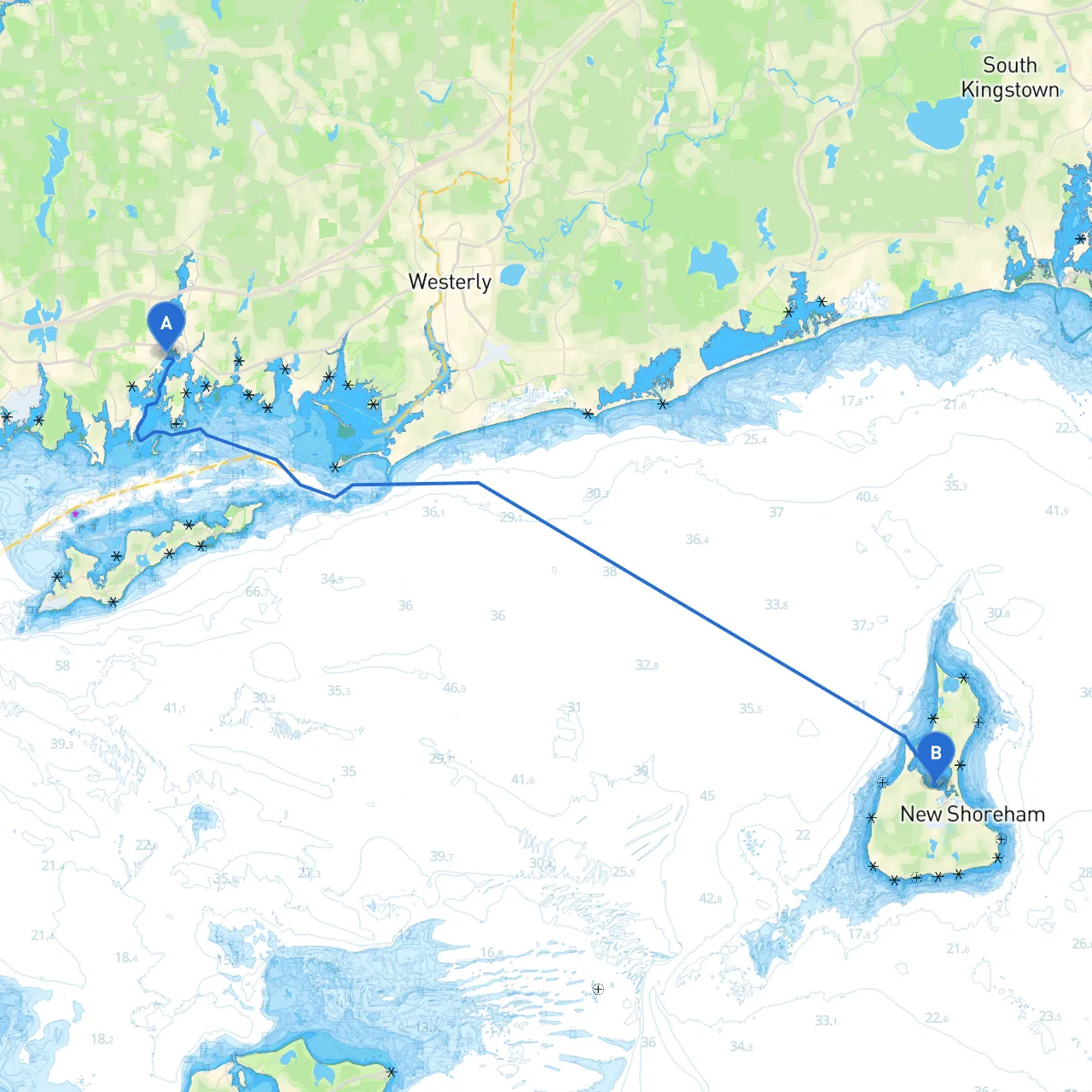
Pilotage Plan: From Mystic, CT to Block Island, RI
Starting Point: Mystic, Connecticut, USA
Welcome aboard as we embark on an exciting yet safe journey from Mystic, CT, to the picturesque shores of Block Island, RI. This route is particularly suitable for experienced boaters who appreciate the thrill of navigation while prioritizing safety on the water.
Distance: Approximately 7 nautical miles Estimated Time: 1 to 1.5 hours, depending on conditions
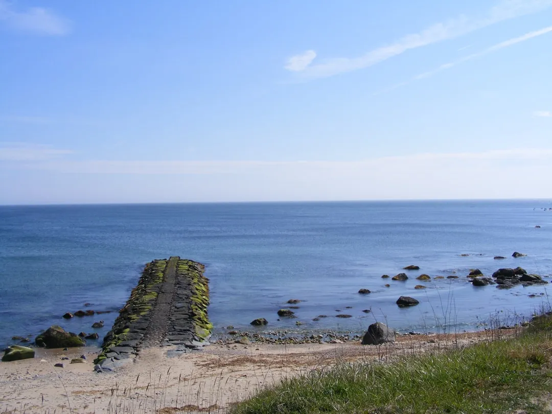
Leaving Mystic Harbor, you’ll navigate through the Mystic River, which boasts gentle currents and a stunning landscape framed by lush woodlands and historic homes. As you approach the mouth of the river, be mindful of the channel markers. Pay attention to local chart data as the water can shift with weather changes.
As you enter Fishers Island Sound, keep to the deeper water, especially on a busy day with local fishing vessels and recreational boaters. Should the weather turn inclement, both Noank and Fishers Island offer havens for shelter. Here, you may find quaint eateries or just take a moment to enjoy the scenery and observe local wildlife.
Navigational Aids:
Distance: Approximately 8 nautical miles Estimated Time: 1 to 1.5 hours
Leaving Fishers Island, set a course toward Point Judith. This leg of the journey will take you offshore as you cruise along a beautiful stretch of the Rhode Island coastline. Make sure to keep an eye on the weather; conditions can change, and you want to be prepared.
As you near Point Judith, you'll be greeted by the rocky coastline and the characteristic Point Judith Lighthouse. This is a well-known landmark and also recognized as a good spot to take cover if needed. The harbor is a busy one, serving both commercial and recreational vessels. Rules and regulations are strictly enforced here, so be vigilant.
Navigational Aids:
Shelter Options:
Distance: Approximately 12 nautical miles Estimated Time: 2 hours
From Point Judith, it's a straightforward journey across the open waters to Block Island. Be prepared for potentially rough seas, especially if the wind is up. Monitor your sonar/chart plotter to navigate this section safely; it’s critical to avoid both sandbars and the shifting underwater topography in this area.
As you approach Block Island, the contours of the island will rise sharply, signifying your arrival. The iconic Southeast Lighthouse will be visible and acts as a historic navigational aid.
Points of Interest:
Navigational Aids:
Local Regulations:
This pilotage plan for your journey from Mystic, CT to Block Island, RI is crafted not only to provide an adventurous outing on the water but to ensure your safety comes first at every turn. The combination of scenic views, rich history, and local culture makes this route a memorable one for any experienced boater.
Make sure to prepare ahead with weather updates and marine apps like Savvy Navvy, Navionics, and iNavX to enhance your navigation experience. Adhering to local regulations, paying attention to your environment, and remaining vigilant will ensure a smooth and enjoyable cruise. Happy sailing!