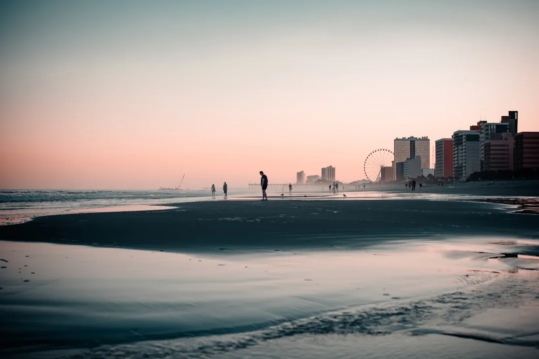

Route Overview This trip is an exciting loop from Myrtle Beach, offering a blend of navigational challenges, scenic vistas, and opportunities to explore nearby landmarks. The journey spans through calm waters and navigable channels, making it suitable for both novice and experienced boaters. Safety is prioritized, ensuring that you can enjoy this excursion without unnecessary worry.
Departure Starting from Myrtle Beach (coordinates -78.8183, 33.7641), prepare to head south towards the Intracoastal Waterway (ICW). Before departure, ensure you have a vessel safety check complete, including life jackets, fire extinguishers, and communication devices. Monitor the weather forecast closely; conditions can change rapidly in coastal areas.
Section 1: Navigating the Intracoastal Waterway As you enter the ICW, follow the channel markers diligently. They are your best guide to navigate through this bustling waterway, avoiding shallow spots and other hazards. Pay special attention as you approach the Waccamaw River, where currents may be more pronounced.
Points of Interest Along the Route:
Section 2: Hazard Awareness While the ICW is generally safe, be aware of potential hazards, including shifting sandbars, submerged obstructions, and local wildlife. During your journey, always stay alert for markers indicating shallow waters and be prepared to adjust your speed to prevent damage to your vessel.
If the weather starts to shift, Hurricane Bay nearby provides a safe haven to anchor and ride out storms, with ample room to maneuver and suitable depths for various-sized vessels. Another nearby option is Stillwater bay, known for its tranquil waters on windy days.
Section 3: Navigational Aids As you navigate, here are some important aids to heed:
Local Regulations: Make sure to familiarize yourself with local maritime regulations. Speed limits may be enforced in certain areas to protect aquatic life, and fishing licenses may be required if you plan to throw out a line. Also, abide by anchoring regulations in the ICW to minimize environmental impacts.
Return to Myrtle Beach For the return leg, simply reverse your course through the ICW. This leg of the journey remains as picturesque as the first, with plenty of time to take in the impressive vistas of the surrounding marshlands.
Final Thoughts This route is particularly suitable for powerboats and smaller crafts due to the calm nature of the waters and the abundance of navigational aids. The mix of adventure, convenience of landmarks, and opportunities for cover from the elements make this a memorable outing for everyone.
Consider enhancing your navigation with apps like Savvy Navvy, which provides detailed charts and real-time weather updates, ensuring you have all the information needed to stay safe while making the most of your boating trip. Happy boating!