
Pilotage Plan: Monterey, CA to Santa Cruz, CA
Overview
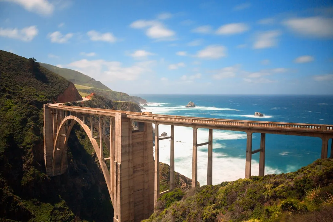
Embarking on a coastal journey from Monterey to Santa Cruz presents a wonderful opportunity for boaters to enjoy the breathtaking beauty of California’s central coast while requiring careful attention to safety and navigation. This route is particularly suitable for experienced recreational boaters who are familiar with local waters but also offers a manageable challenge for those looking to expand their skills.
Route Description
Starting Point: Monterey, CA
Coordinates:Long -121.8939, Lat 36.6090
Start your adventure at the historic harbor of Monterey. Known for its stunning coastline, this area is also home to the famous Monterey Bay Aquarium, making it a fantastic initial stop for some sightseeing.
Distance to Santa Cruz:Approximately 30 nautical miles, depending on the chosen route.
Hazards and Navigation Considerations
As you set off from Monterey, keep your eye on typical hazards that can affect navigation:
Points of Interest Along the Route
Final Approach to Santa Cruz
As you approach Santa Cruz, keep track of the following navigational aids:
Santa Cruz Harbor Channel:The entrance can be tricky during low water conditions due to shifting sandbars. Be sure to maintain a steady pace and keep an eye on your depth sounder.
Red and Green Buoys:Adhere to marked channels and the buoys along the way. They help indicate safe passage and danger areas.
Upon arriving at Santa Cruz, CA(Coordinates: Long -122.0013, Lat 36.9654), prepare to dock at the picturesque Santa Cruz Harbor, which offers ample amenities and access to beaches and local attractions.
Safety and Regulations
Local Regulations:Be aware of speed limits in crowded areas and any seasonal closures for marine life protection.
Check-in Before Departure:Always file a float plan with someone who will remain on land so that someone knows your expected route and arrival.
Equipment Check:Ensure you have all safety gear onboard, including life jackets, flares, and a reliable communication device.
Recommended Boating Apps
Before heading out, it's wise to equip yourself with useful navigation tools. Consider downloading:
Savvy Navvy:Excellent for route planning, offering up-to-date charts and tide information.
Navionics:Provides detailed maps, and weather updates.
Windy:This app is perfect for monitoring live weather data, including wind speeds and conditions.
This route from Monterey to Santa Cruz is an enriching experience, showcasing the natural splendor of California's coastline while ensuring that safety and awareness remain paramount. Happy cruising!