
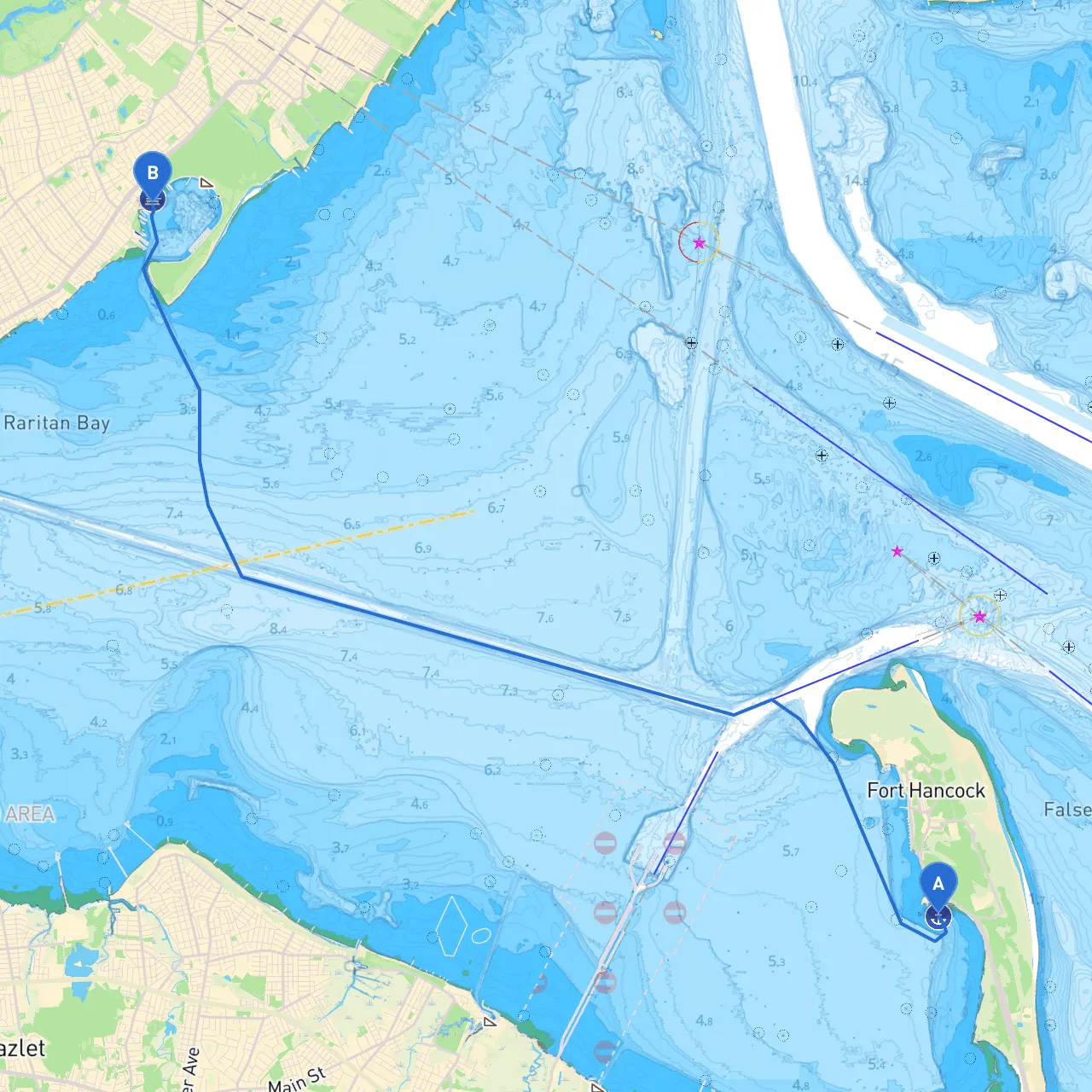
Pilotage Plan: Middletown Township, NJ to Staten Island, NY
Departure Point: Middletown Township, NJ Your journey begins in the serene waters surrounding Middletown Township. You're in a sweet spot of the Raritan Bay, which is both rich in beauty and accessible for boaters. Before you set off, ensure your navigational tools are ready, and check the weather conditions, as they can affect your route significantly.
Key Points of Interest and Shelter Areas:1. Navesink River: Immediately to the north of your starting point, the picturesque Navesink River offers a brief but delightful detour. You can anchor near Red Bank, where the waterfront is lined with shops, restaurants, and parks. It's a great place to stretch your legs or grab a meal before continuing your voyage.
2. Sandy Hook Bay: As you head south through Raritan Bay, you’ll pass by Sandy Hook and the Sandy Hook Lighthouse. This area has several local marinas and is also a good place to shelter should the weather change unexpectedly. If time permits, stop by the Sandy Hook Unit of Gateway National Recreation Area for stunning views and sandy beaches.
3. Great Kills Harbor: Once you approach Staten Island, Great Kills Harbor is a protected area that provides excellent shelter and helps to break the wind. Several restaurants are located within walking distance from the docks here, offering a perfect spot to refresh before your final leg.
Navigational Considerations:As you make your way toward Staten Island, it's crucial to follow a well-defined course. Here are important navigational aids and considerations to keep in mind:
Final Approach to Staten Island:As you pass by the eastern edge of Staten Island, prepare for a scenic view of the city skyline. The journey culminates at Staten Island, where the Arthur Kill will guide you toward your destination. Enjoy the natural beauty and historical landmarks that passed along the way. Remember to stay alert for any local boat traffic as you approach the marinas.
This route is ideal for recreational boaters of all skill levels. The notable points of interest along the way offer opportunities to pause and appreciate the natural beauty, while the considerations of shelter and navigational safety provide peace of mind to those venturing on the open waters. Whether you're a first-time boater or an experienced captain, this trip is one laden with adventure and stunning scenery. Make sure you keep essential boating apps like savvy navvy on hand to enhance your experience and navigation ease. Safe travels!