
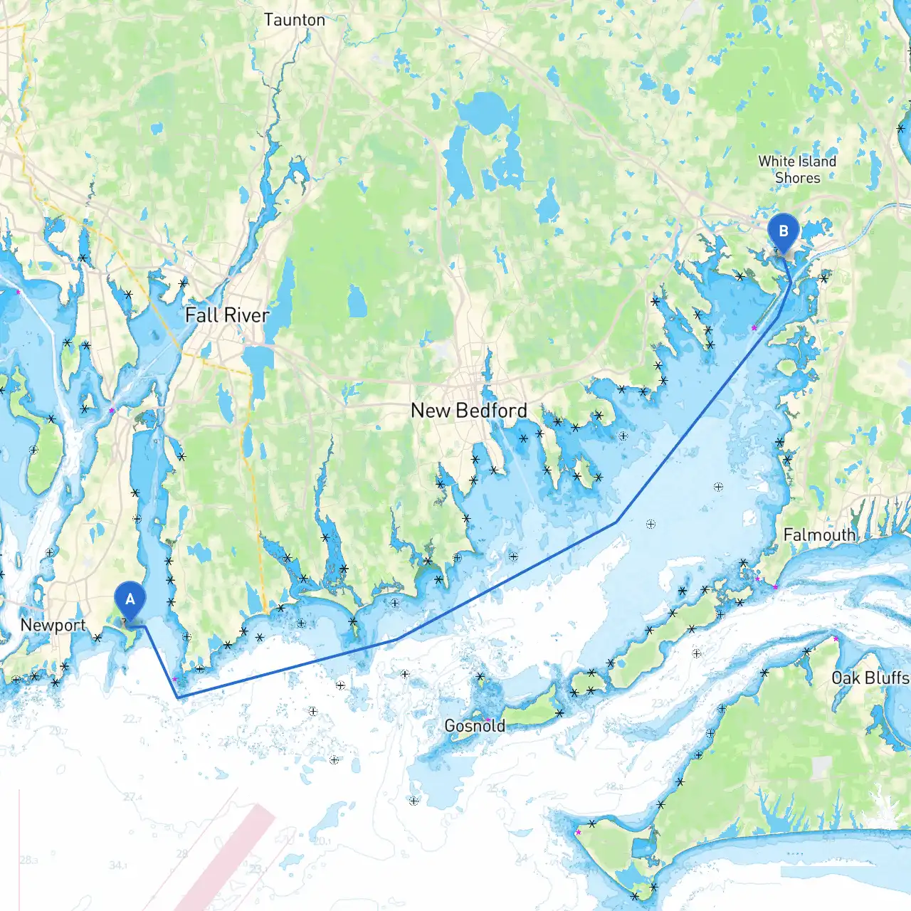
Pilotage Plan: Middletown, Rhode Island to Buzzards Bay, Massachusetts
Departure Point: Middletown, Rhode Island
Your journey begins in the calm waters of Middletown, where you'll find moorings and ample facilities for provisioning. Before you set off, ensure your vessel is well-prepared for the journey ahead, check the weather conditions, and consider using apps like Savvy Navvy, which can provide excellent routing and navigation support.
Route Overview
The trip will take you through the scenic Narragansett Bay, providing a remarkable contrast between protected waters and the open ocean. Your main course will lead you northeast past the mouth of the bay, navigating carefully due to commercial traffic, especially around Newport Harbor.
Leg 1: Middletown to Newport Harbor (Approx. 5 nautical miles)
Start your journey by heading southeast down the coastline into Newport Harbor. This harbor is known for its bustling marina scene and is an excellent stop if you need to resupply or simply enjoy the picturesque vistas of the famous mansions along the shoreline. Keep an eye out for the statue of Commodore John Barry, a notable landmark, and be mindful of the mooring fields filled with both recreational and commercial vessels. Pay attention to navigation aids including buoys and leading lights as you enter the harbor.
Shelter Option: Newport Harbor provides protection from strong winds and seas. If conditions deteriorate, you can safely moor here overnight.
Leg 2: Newport Harbor to Point Judith (Approx. 7 nautical miles)
Depart Newport Harbor and orient your vessel southwest toward Point Judith. This stretch may expose you to open ocean conditions, so be vigilant for changing weather and monitor local marine forecasts. At Point Judith, look for the lighthouse, a key navigational landmark.
Shelter Option: Point Judith offers a safe harbor in the form of Galilee. It’s an excellent spot to take cover if needed, especially during bad weather. The area also features great seafood dining and a charming fishing village atmosphere.
Leg 3: Point Judith to the Block Island Sound (Approx. 13 nautical miles)
Navigating through Block Island Sound can be an exhilarating experience, but it has its fair share of hazards, particularly submerged rocks and shoals. Use your chartplotter and GPS, and remember to consult local charts to be aware of your surroundings. In this stretch, keep an eye on your depth sounder as you’ll be crossing varied seabed topography.
Leg 4: Block Island to Buzzards Bay (Approx. 16 nautical miles)
As you make your way towards Buzzards Bay, take a scenic route around the northern edge of Block Island. The views are stunning, providing an opportunity to catch sight of seals basking on the rocks. Avoid the competitive currents near the northern approaches, especially around the mouth of the Bay, and look for the iconic Buzzards Bay Light as you approach your destination.
Arrival Point: Buzzards Bay, Massachusetts
As you enter Buzzards Bay, enjoy the vastness of the waters and keep a sharp lookout for other vessels, especially during weekends. The bay is home to beautiful waterfront parks, beaches, and facilities for boaters. Popular spots such as Onset and Marion offer sheltered bays and delightful local attractions including restaurants and trails.
Important Navigation Considerations:
This trip is ideal for intermediate to experienced boaters who are comfortable handling varied conditions, from tranquil harbor waters to open coastal navigation. It offers everything from picturesque views to potential shelter, ensuring you remain safe while still enjoying the adventurous side of your journey.