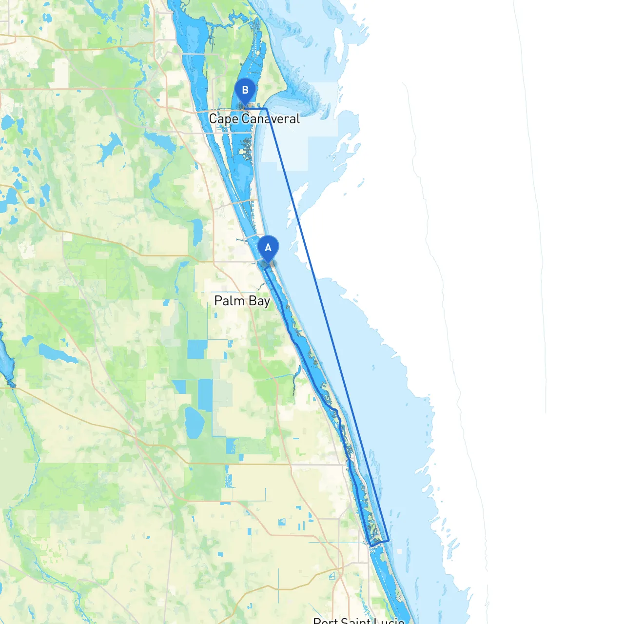
Your journey from Melbourne Beach to Cape Canaveral will offer you a wonderful blend of scenic beauty, wildlife, and notable landmarks, enriching your experience on the water. This route, approximately 25 nautical miles, is perfect for recreational boaters and those with intermediate experience, providing both challenge and solace, should the weather turn unexpectedly.
Starting Point: Melbourne Beach, Florida (Coordinates: -80.571853, 28.068582) Ending Point: Cape Canaveral, Florida (Coordinates: -80.628, 28.408)
The journey predominantly hugs the eastern coastline, allowing for breathtaking views of the Atlantic Ocean on one side and the Indian River Lagoon on the other. Be sure to keep a watchful eye on weather conditions and prepare to navigate through some busy waterways.
1. Sebastian Inlet: As you set off, approximately 7 nautical miles north will bring you to Sebastian Inlet. This popular area is known for its beautiful park, fishing opportunities, and wildlife. It can also serve as a safe haven in case of adverse weather conditions. The inlet offers numerous amenities, including restrooms and potential areas to anchor.
2. Cocoa Beach: Continuing north, you’ll approach Cocoa Beach. This iconic surf town is not only a great place to stop for some fun in the sun but offers facilities, restaurants, and a lively atmosphere. The famous Cocoa Beach Pier is well worth a visit. Here, you can moor your boat and stretch your legs or grab a bite.
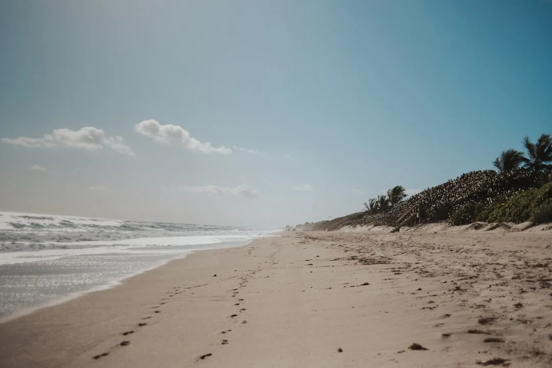
3. Cape Canaveral National Seashore: Just before reaching your destination, you’ll pass by the Cape Canaveral National Seashore. This is a stunning stretch of protected beach where nature flourishes. Take your time here to appreciate the pristine surroundings and the array of local wildlife, including sea turtles and dolphins.
1. Channel Markers and Aids: As you navigate, pay close attention to local channel markers and buoys. The Indian River will have numerous markers indicating the channel—always keep your vessel within these markers to avoid shallow areas.
2. Speed Limits: Throughout these waterways, adhere to the speed limits, particularly in areas with high boating traffic, such as near Cocoa Beach and the inlet. This will ensure both your safety and the safety of others.
3. Weather Monitoring: Always keep an eye on the weather. Local storms can arise quickly. Use your smartphone with reliable apps like Savvy Navvy to track weather changes and plan safe routes efficiently.
4. Wildlife Zones: Be aware of designated wildlife zones. Slow down in the areas marked for local wildlife protection, especially in the vicinity of the Cape Canaveral National Seashore.
5. Local Regulations: Ensure you’re familiar with local fishing regulations if you plan to fish along your journey. Additionally, practice good boating etiquette by respecting other vessels and staying clear of swimmer areas.
This route from Melbourne Beach to Cape Canaveral combines the thrill of cruising with the beauty of Florida's coastline while prioritizing safety. With thoughtful planning, you’ll be able to enjoy natural wonders, vibrant local culture, and stunning vistas. This trip is well-suited for recreational boaters looking for a mix of adventure without straying too far from safety. Use the suggested apps, respect regulations, and have a fantastic voyage!