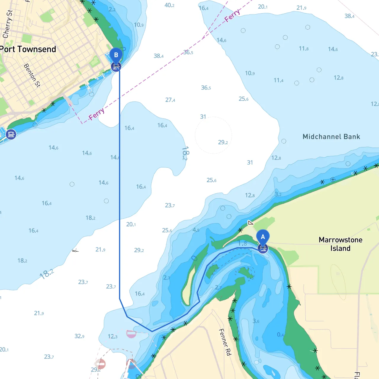
Pilotage Plan for Boat Trip from Marrowstone Island, WA to Port Townsend, WA
Starting Point: Marrowstone Island, WA, US Ending Point: Port Townsend, WA, US
Welcome aboard! This route from Marrowstone Island to Port Townsend is a splendid journey that combines serene waters, stunning landscapes, and some delightful stops along the way. The distance over water is approximately 8 nautical miles, requiring careful navigation, especially in working with tidal currents and weather considerations. This trip is particularly suitable for recreational boaters looking for a short excursion, while still needing to keep an eye on safety.
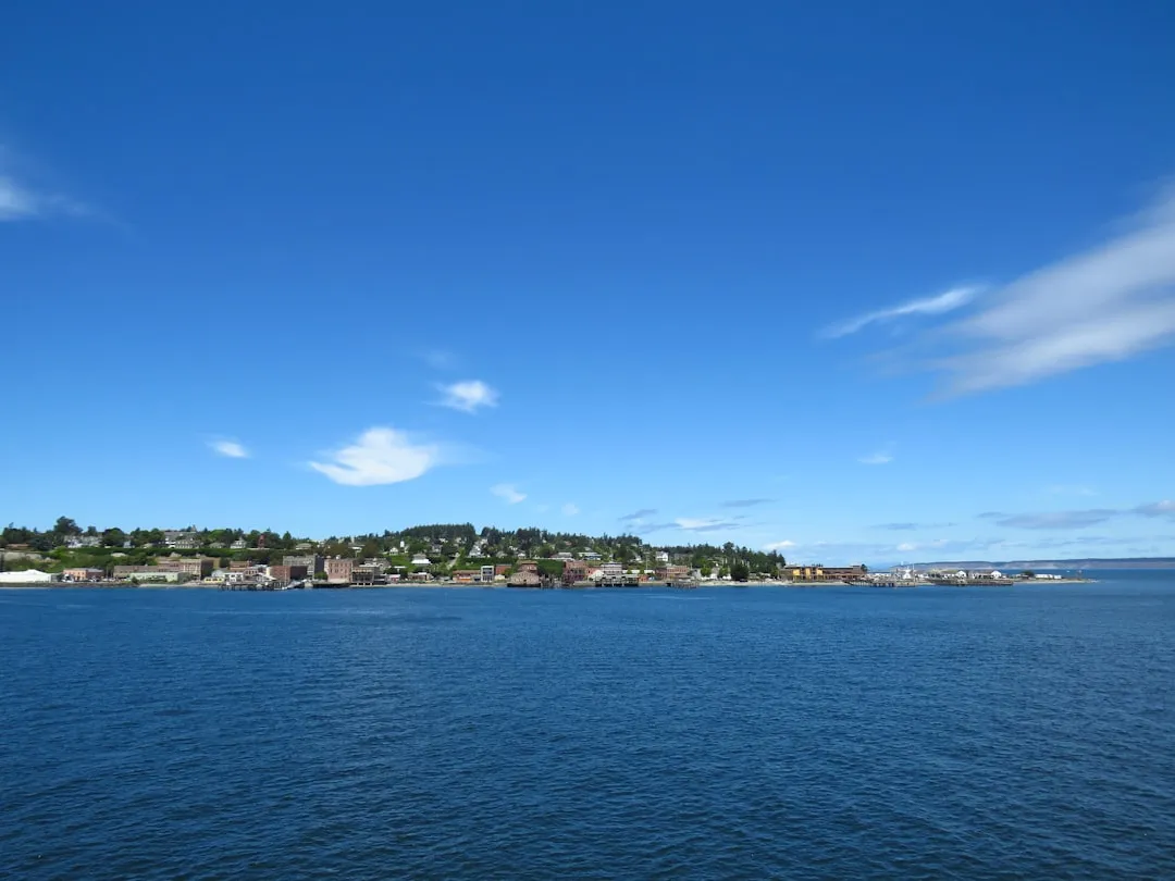
Begin your journey in the protected waters of Marrowstone Island. As you set off, keep an eye out for the various navigational aids that will guide you along the way. The coordinates for Marrowstone are approximately 48.0919° N, -122.7208° W. You'll be traversing through the beautiful waters of the eastern strait of Juan de Fuca, providing stunning views of the Olympic Mountains to the west.
1. Kilisut Harbor: Just north of Marrowstone Island, Kilisut Harbor provides an ideal spot for shelter should the weather turn unexpectedly. This natural harbor features a small anchorage and is an excellent location for observing local wildlife. It's a perfect place for a picnic or even a quick swim.
2. Indian Island: As you cruise closer to Port Townsend, consider stopping at Indian Island. It’s a great spot for exploring tidal pools and enjoying some quiet time on the beach. Be mindful of the tidal currents here, as they can be strong.
3. Port Townsend Bay: The approach to Port Townsend Bay is a masterpiece of nature. Entering this bay is particularly striking, and there are ample opportunities for recreational activities such as kayaking or enjoying a round of golf at the nearby golf course.
While the waters are generally calm, several navigational aids are essential to pay attention to during your journey:
Safety is paramount on this journey. Ensure you are equipped with all required safety gear, including life jackets for all passengers, a properly stocked first-aid kit, and a reliable communication device. Familiarize yourself with your vessel’s safety equipment and check that the fire extinguisher is up to code.
Essential Boating App Recommendations: To further ensure your safety and enhance navigation, consider using these apps, including savvy navvy, which provides detailed marine charts, tide predictions, and route planning tools. Additional apps you may find useful include:
This route from Marrowstone Island to Port Townsend offers a perfect blend of natural beauty and navigation challenges. As you plot your course, safety and enjoyment will go hand in hand. The open waters, along with the charm of local islands and the picturesque setting of Port Townsend, will surely make this boat trip a memorable adventure. Enjoy your journey, respecting the elements, and revel in the beauty of Washington state's coastline!