
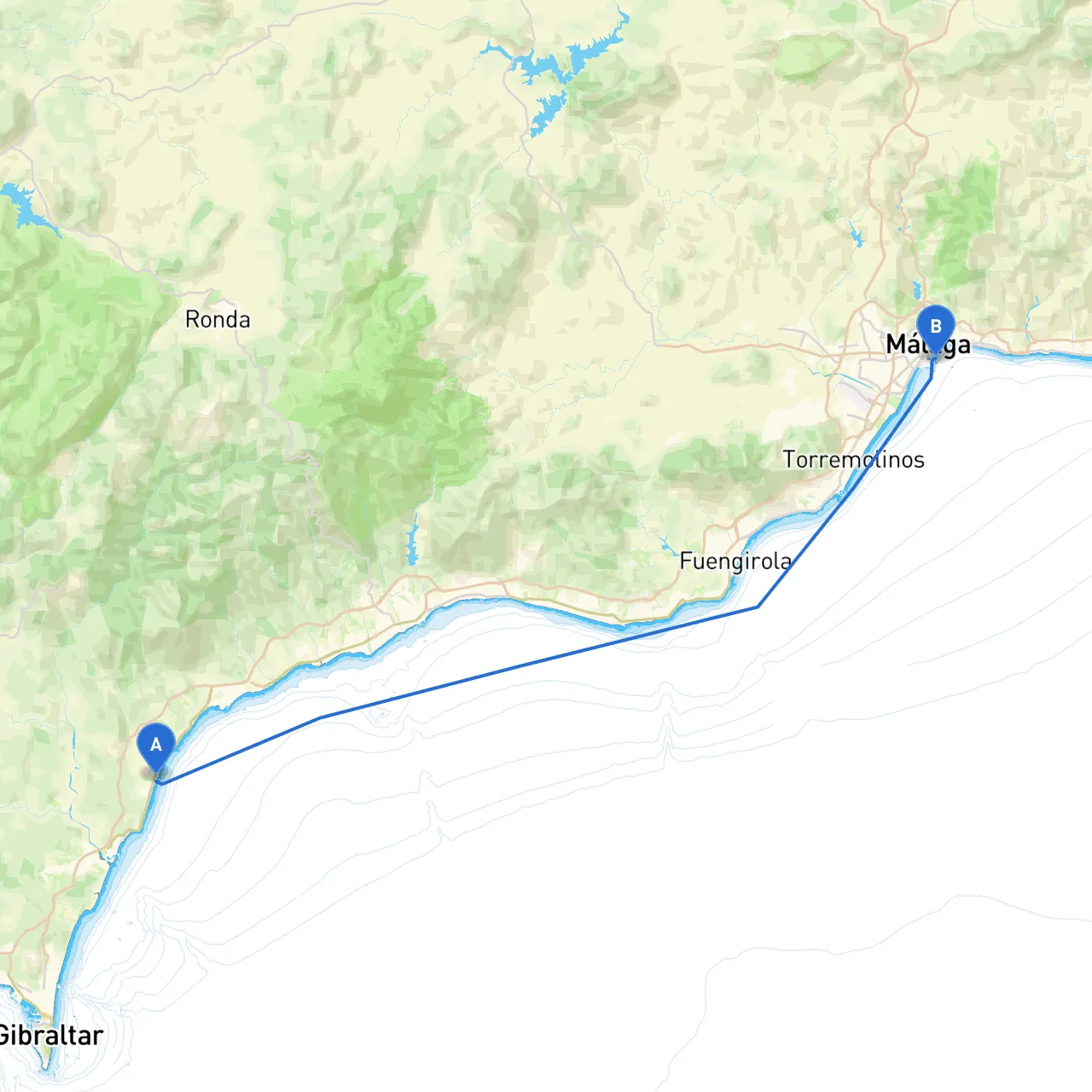
This route takes you along the beautiful Costa del Sol, stretching roughly 25 nautical miles from the harbor of Manilva to the vibrant port city of Malaga. A perfect trip for recreational sailors and experienced cruisers alike, the journey offers stunning coastal views, secluded bays for shelter, and exciting landmarks. As you navigate these waters, a strong emphasis on safety and local regulations will ensure a smooth and enjoyable experience.
Begin your journey at the picturesque harbor of Manilva. Known for its delightful beaches and quaint charm, this is an ideal starting point. Before you set sail, ensure you have all necessary equipment, a reliable marine VHF radio, as well as your navigation charts updated with current conditions.
1. Puerto de la Duquesa (Approx. 5 nm from Manilva) - Shelter: A fully equipped marina with excellent facilities, great for a stop if the weather turns unfavorable. - Activities: Enjoy local dining and a stroll along the marina promenade.
2. Estepona (Approx. 10 nm from Manilva) - Shelter: The marina at Estepona is another great place to seek refuge should conditions worsen. - Activities: The old town offers picturesque streets and a variety of shops and restaurants. Don't miss the Jardín de las Tres Culturas, a lovely cultural garden.
3. Bahía de Casares (Approx. 3 nm off-shore from Estepona) - Shelter: A natural bay that can provide safety from prevailing winds, with sandy beaches perfect for anchoring (anchor with caution due to variable depths). - Activities: An excellent spot for swimming or enjoying a picnic on the beach.
As you vacate Manilva, plot your course due east along the coast, maintaining a distance of approximately 1 nautical mile from the shoreline to avoid any shallow waters, particularly near the rocky outcrops. Pay close attention to the navigational aids:
This trip is especially suitable for intermediate to advanced sailors due to the beautiful yet sometimes unpredictable weather conditions of the Costa del Sol. However, with careful planning, attention to safety, and an appreciation for the stunning coastline, it's sure to become a memorable journey!