Pilotage Plan: Mangaratiba, RJ, Brazil to Rio de Janeiro, RJ, Brazil
Route Overview
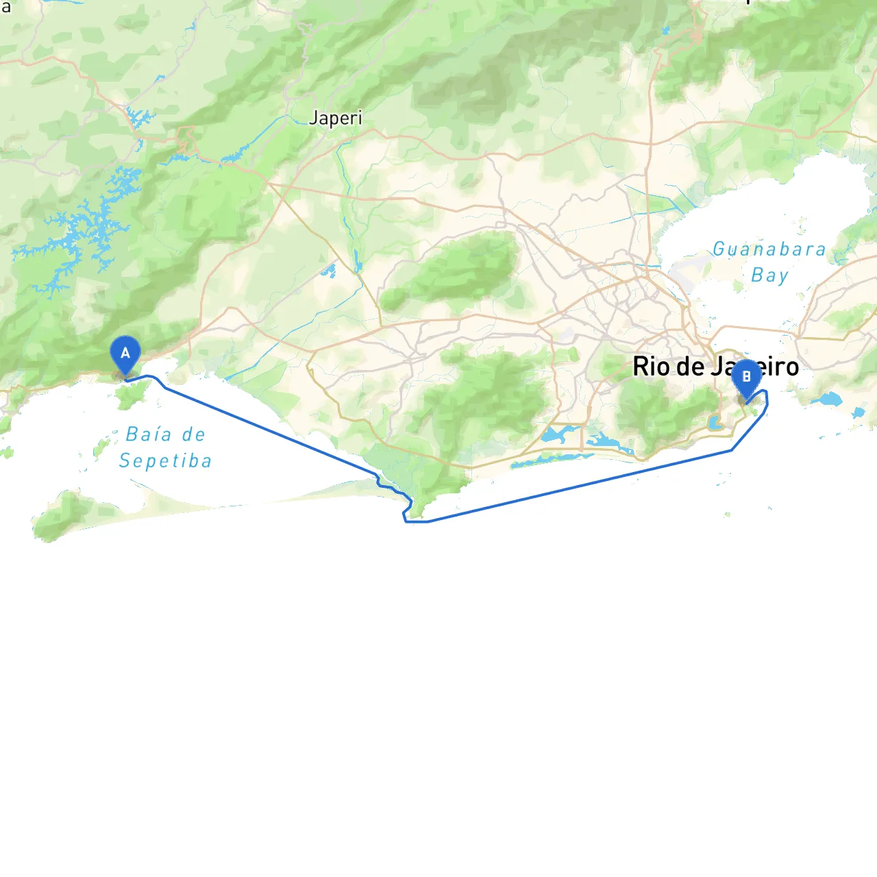
Embarking on this maritime journey from Mangaratiba to the vibrant city of Rio de Janeiro promises a mix of scenic beauty and exciting navigation challenges. The distance is approximately 30 nautical miles, primarily along the stunning coastline of southeastern Brazil. This route is ideal for experienced boaters who appreciate both adventure and safety, with opportunities for shelter and exploration along the way.
Section 1: Departure from Mangaratiba
Start your journey in the picturesque bay of Mangaratiba, famous for its calm waters and beautiful views. As you leave the harbor, be mindful of fishing vessels and local boating traffic. Monitor the depth and stay aware of any currents that may influence your departure.
- Safety Reminder: Before departure, ensure you’ve checked your vessel's safety equipment—including life jackets, flares, and fire extinguishers. Also, check the weather forecast; conditions can change rapidly in this area.
Section 2: Navigational Aids
As you set sail, keep an eye out for key navigational aids that will guide your way:
- Buoy 1 (Near Ilha da Gigoia): A significant marker indicating the approach to the Ilha da Gigoia, useful for determining your position relative to the busy waters to the northeast.
- Light at Pão de Açúcar (Sugarloaf Mountain): An iconic landmark on approach to Rio. This natural monument will provide a visual point of reference as you draw closer to your destination.
Section 3: Points of Interest Along the Way
: If time permits, take a detour to Ilha Grande, which lies slightly off the direct path but offers breathtaking beaches and hiking trails. The island is well-known for its clear waters, perfect for swimming or snorkeling.
2. Bays for Shelter: - Praia do Leste: A charming spot that provides a safe harbor during inclement weather. It offers stunning views, making it a great place to stop for lunch or relax before continuing your journey. - Baia de Paraty: While slightly further afield, it's an excellent area to seek shelter if conditions worsen. Known for its extraordinary beauty, you can find safe anchorages.
3. Notable Landmarks: As you approach Rio, the iconic Copacabana Beach and the Christ the Redeemer statue will greet you from the horizon. These destinations are not only beautiful but also culturally significant.
Section 4: Route Navigation
Stick to the marked channels while navigating the waters to avoid submerged hazards. Observe local boating regulations, particularly regarding the speed limits in designated zones, such as near marinas and residential shores.
- Keep an Eye on Currents: The proximity to the open sea means you could encounter tidal influences. Planning your departure with respect to tide charts will be key.
- Ferries: Be vigilant for ferry traffic, especially as you approach Rio de Janeiro. Ferries operate frequently, and it is crucial to give them right of way.
Section 5: Conditions in Rio de Janeiro Waters
As you enter the Guanabara Bay, expect diverse boating traffic, including commercial ships and recreational vessels. Monitor VHF channels for navigation updates and maintain a sharp lookout for other boats—some areas may become congested.
- Local Regulations: Familiarize yourself with any local regulations concerning anchoring and mooring once you arrive in Rio. Certain areas may have restrictions in place to protect the marine environment or ensure navigation safety.
Application Tools
To enhance your navigation experience, consider using various boating apps. Most importantly, include
to track your journey, access real-time weather updates, and utilize detailed charts. Additional useful apps include:
- Navionics: Perfect for nautical charts and detailed mapping.
- Windy: For checking weather patterns, particularly wind and waves, which are crucial in this region.
- iNavX: Useful for navigating coastal waters and managing waypoints.
Conclusion
This maritime adventure from Mangaratiba to Rio de Janeiro is a fantastic choice for boaters seeking both preparation and beauty on the water. While the allure of stunning views and cultural landmarks is strong, always prioritize safety with proper equipment, vigilant navigation, and knowledge of local conditions. Happy sailing!