
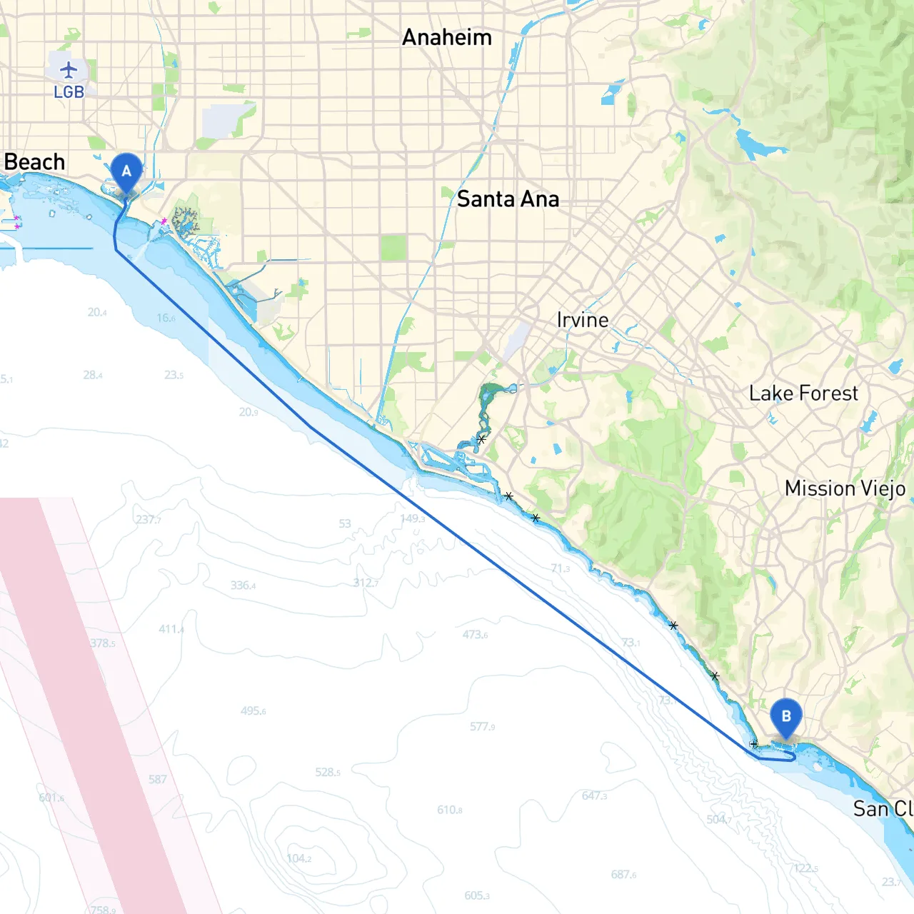
Overview of the Route This route from Long Beach to Dana Point is an incredible journey along the beautiful Southern California coastline, perfect for experienced coastal cruisers looking for both excitement and safety. Measuring approximately 22 nautical miles, it offers stunning views, ideal stopping points, and a well-marked path for navigation. Given the coastal climate, this route is best navigated during the day to maximize visibility and safety, ideally leaving in the morning to enjoy the tranquil waters and local wildlife.
Section 1: Port Details and Preparation Starting Point: Long Beach, CA Prior to departure, ensure your vessel is well-prepared: check your fuel levels, inspect your safety equipment, and ensure all navigation tools are functioning correctly. Long Beach is equipped with various marine services, making it ideal to stock up on provisions and any fishing gear you may need.
Ending Point: Dana Point, CA Dana Point is known for its beautiful harbor and friendly atmosphere. Prepare for your arrival by verifying dock availability in advance, as it can get busy, especially on weekends.
Section 2: Points of Interest and Sheltering Bays 1. Catalina Island (off route, optional stop) - About 26 miles off Long Beach, this beautiful island is famous for diving, hiking, and a vibrant nightlife, should you wish to extend your adventure.
2. Alamitos Bay - Located right near Long Beach, Alamitos Bay provides a calm and sheltered area to wait for ideal weather, should conditions change. Boaters can also explore local dining options along the bayfront.
3. Seal Beach - Midway during your route, Seal Beach is a lovely place to stop and take in the sights. With a vibrant pier and coastal park, it's a great location for a lunch break or a stroll along the beach.
4. Capistrano Bay - A great natural harbor, Capistrano Bay tends to have calmer waters that are perfect for short breaks if weather conditions change unexpectedly.
Section 3: Navigational Considerations
Section 4: Local Regulations and Safety
Section 5: Recommended Apps for the Journey To further enhance your experience and ensure safety, consider using boating apps like:
This journey from Long Beach to Dana Point is not just about reaching a destination; it’s a marine experience that encompasses the stunning California coast while ensuring safety and navigation are prioritized. Happy cruising, and may your journey be filled with adventure and memorable sights!