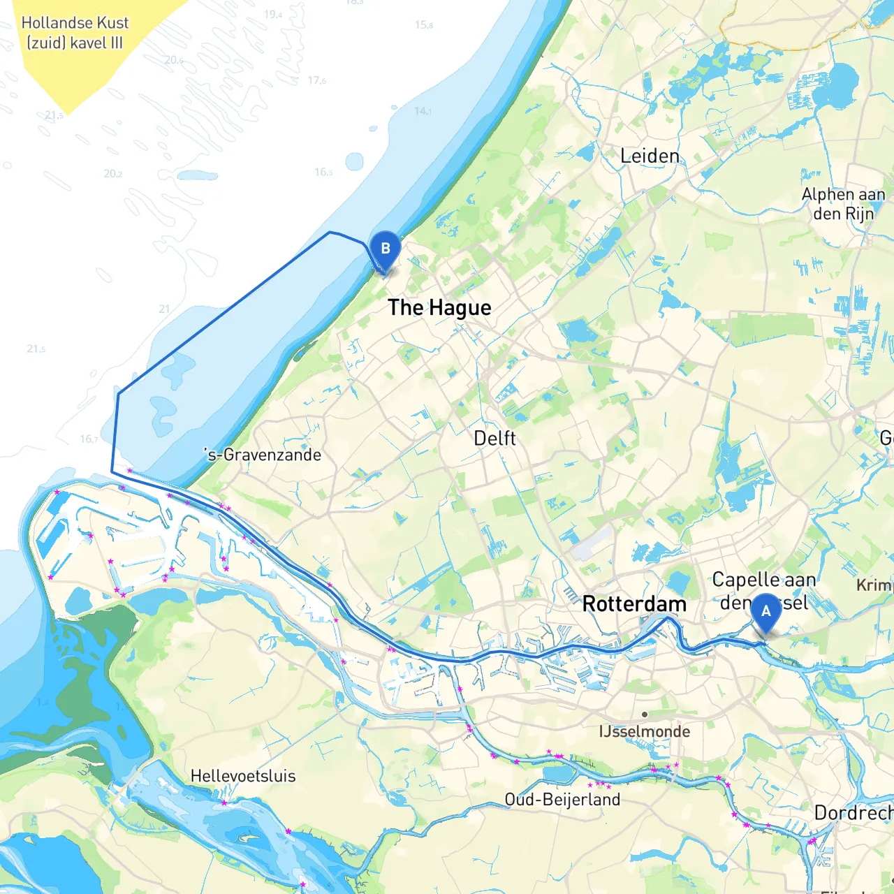
Pilotage Plan from Krimpen a/d IJssel to Den Haag
Overview Embarking on a boat trip from Krimpen a/d IJssel to Den Haag offers a delightful blend of navigational challenges, scenic views, and potential stops at interesting landmarks. The route covers approximately 25 nautical miles, winding through the intricate waterways of the Netherlands, making it suitable for seasoned boaters as well as those looking for a moderate adventure. This plan focuses on safety, ensuring you enjoy your journey without compromise.
Section 1: Departure from Krimpen a/d IJssel Starting at Krimpen a/d IJssel, a small town nestled on the banks of the Hollandse IJssel, you should first chart your course ensuring your vessel is ready for departure. Ensure that your navigational equipment is operational and up-to-date. The depths in this area can vary, so please consult the latest hydrographic charts.
Section 2: Navigational Hazards and Aids As you begin your journey, be mindful of various navigational hazards. A notable point is the intersection of the Hollandse IJssel with the Nieuwe Maas. Be particularly cautious when navigating through busy sections as commercial shipping traffic, including large barges, is common. It’s imperative to follow the designated traffic separations and pay attention to the buoys marking navigable channels.
Also, take note of the entrance to the Hartelkanaal, a key waterway linking to the Port of Rotterdam, to your west. This area has a lot of commercial activity, so keep a steady watch for large vessels and follow any marine traffic advisories.
Section 3: Points of Interest As you sail, consider making a stop at Maassluis, approximately halfway to Den Haag. This historic town boasts a picturesque port area and charming streets lined with traditional Dutch architecture. It's a great place to refuel, grab a bite to eat, and explore the local maritime museum.
Further along, you may glimpse the iconic windmills of Kinderdijk. Though slightly to the east, a detour to this UNESCO World Heritage Site is rewarding if you have time. The landscape is breathtaking and deeply emblematic of Dutch culture.
Section 4: Shelter and Protection If the weather starts to turn unpredictable, consider diverting to the nearby bay at Hoek van Holland. This area provides excellent shelter from rough seas and offers amenities that cater to transient boaters. Keeping track of local weather conditions will be essential, so ensure you have access to marine weather updates along your journey.
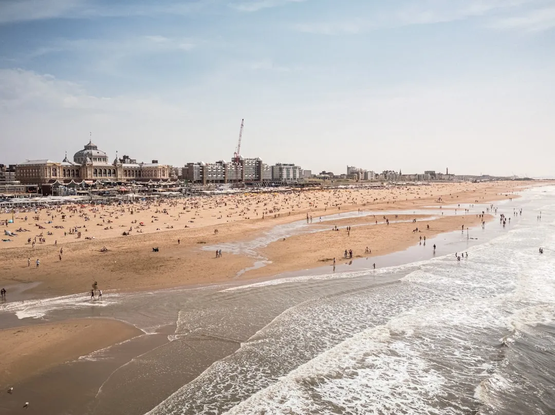
Section 5: Final Approach to Den Haag As you near Den Haag, approach the harbor area by way of the Scheveningen harbor. Be cautious of the numerous small craft traffic and ensure you’re adhering to local boating regulations, especially with respect to speed limits and no-wake zones in the busy areas.
Key Navigational Aids to Note:
Final Thoughts This route is ideal for boaters comfortable with basic navigation. While the scenery is stunning, safety remains paramount. Ensure you have the necessary safety equipment aboard, including life jackets, flares, and first aid kits. Regularly reviewing local navigational regulations will keep your journey compliant and enjoyable.
For additional assistance, consider using navigation apps like Navionics and immersive ones such as Savvy Navvy to guide you through GPS mapping and local weather updates. With the right preparations and an adventure-ready spirit, this journey from Krimpen a/d IJssel to Den Haag will not only be safe but incredibly memorable. Safe sailing!