
This route stretches over approximately 50 nautical miles along the stunning coast of southeastern Georgia and northeastern Florida. It offers a mix of natural beauty, historical landmarks, and local charm, making it perfect for intermediate to experienced boaters looking for a scenic day trip or calm weekend cruise.
Jekyll Island serves as a charming starting point, famous for its magnificent barrier island landscapes and rich history. Before departing, make sure your vessel is equipped with essential safety gear, including life jackets, fire extinguishers, and a first aid kit.
1. Brunswick River & St. Simons Sound: As you leave Jekyll Island, navigate towards the St. Simons Sound via the Brunswick River. Watch out for local fishing vessels and recreational boats in the area, especially near the Jekyll River entrance. On the way, consider a detour to St. Simons Island for lunch or a quick visit, boasting attractions like the St. Simons Lighthouse and historic plantation ruins.
2. Sapelo Island: Continuing southward, you’ll pass close to Sapelo Island. While it’s not a stopover for small vessels due to limited docking options, you can catch a glimpse of its vast, unspoiled landscapes. The island is accessible by ferry from Harris Neck National Wildlife Refuge, making it an interesting day trip if you wish to explore later.
3. McIntosh County: As you make your way towards St. Augustine, you may want to meander into the small bay near Darien, GA, known for its seafood industry. Low Tide here rewards you with sheltered anchorage—ideal if sudden weather changes occur.
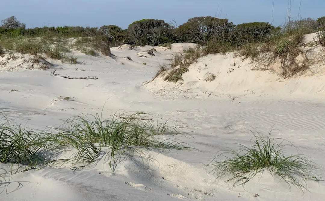
4. Golden Isles: Take a moment to appreciate the beautiful Golden Isles, comprising Saint Simons, Sea Island, and Little St. Simons. These areas are rich in biodiversity and history, and you can luxuriate in breathtaking views of marshlands and coastal flora.
5. Sapelo Sound: As you approach the sound, you will notice navigational aids that will assist your approach to St. Augustine. Keep an eye out for the yellow markers indicating the Intercoastal Waterway (ICW). Make sure to consult your charts to avoid shoal areas.
6. St. Augustine Inlet: The final leg of your journey takes you to the historic St. Augustine Inlet. This area can be busy with commercial and recreational vessels, so slow down and proceed with caution. The inlet is characterized by shifting sands, so follow the recommended channel markers closely.
St. Augustine welcomes you with its picturesque waterfront and vibrant atmosphere. You’ll encounter attractions like the Castillo de San Marcos, quaint shops, and local eateries where you can relish seafood dishes. Be sure to anchor at the designated areas, as the mooring regulations help maintain safe navigation and a clean harbor.
This route from Jekyll Island to St. Augustine is a delightful combination of beautiful landscapes, rich history, and local adventure. Plan accordingly, pay attention to navigation details, and you will create lasting memories on this maritime journey. Happy cruising!