Pilotage Plan: Hubbards, NS to Lunenburg, NS
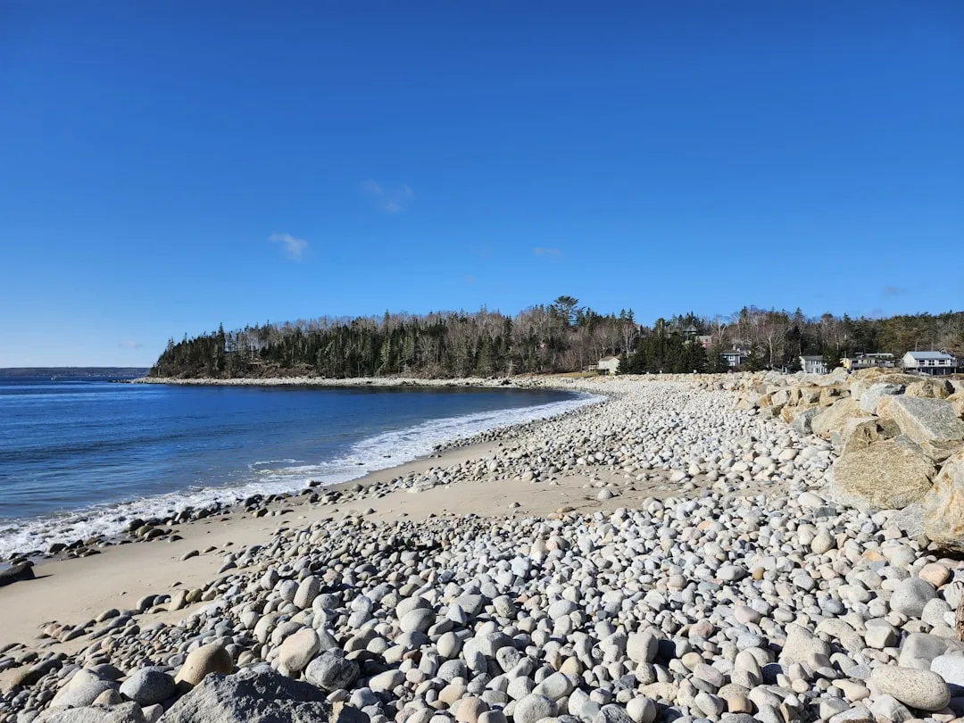
Departure from Hubbards, NSStarting your adventure in Hubbards, a charming seaside village, you'll want to ensure your vessel is ready for the journey ahead. Before leaving, check the weather conditions as this area can experience unpredictable weather patterns, especially as you move along the coast. Make use of local resources such as the Hubbards marina for any final provisions or assistance. As you embark, note the characteristic lighthouse guiding the way out from the harbor, a reliable visual cue for navigation.
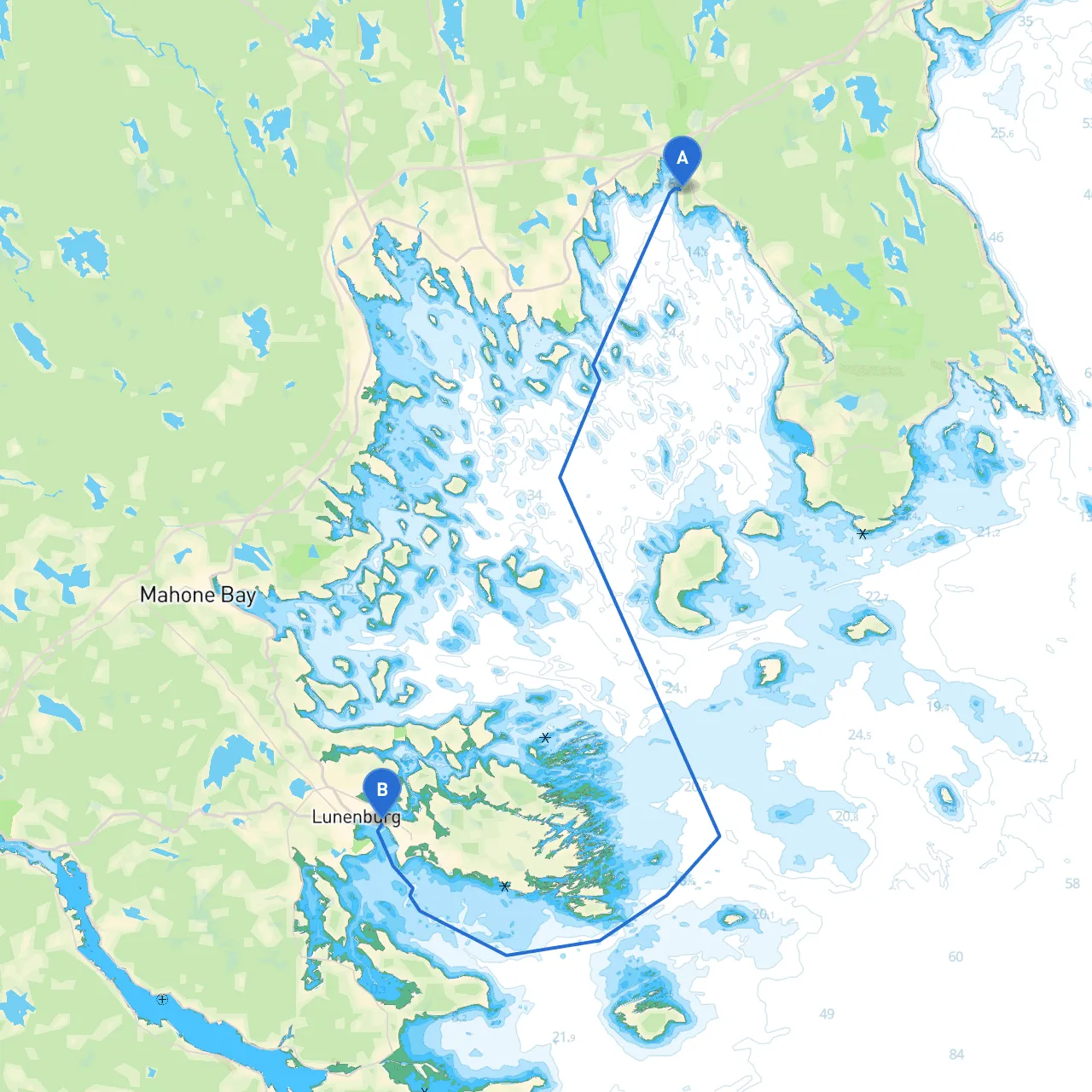
Route OverviewThe journey from Hubbards to Lunenburg covers approximately 10 nautical miles through rich marine territories, showcasing stunning coastal scenery and bustling maritime activities. It’s ideal for leisure craft enthusiasts, families, and those looking to experience a tranquil yet engaging passage.
Navigational Aids and HazardsAs you set course for Lunenburg, keep in mind:
Sheltering Bays Along the RouteOne of the key aspects of safe navigation is having options for shelter in case of sudden weather changes. Along your route:1. St. Margaret's Bay: A popular spot for boaters, offering excellent shelter from heavy winds and storms. There are several safe anchorages, and you can explore the historic areas surrounding the bay.2. Lunenburg Bay: Just before you reach your destination, Lunenburg Bay itself provides a good refuge if conditions worsen. The bay is well marked and offers several docks and mooring options.
Points of InterestWhile safety is paramount, there are wonderful attractions to break up the journey:
Local RegulationsBefore you set sail, familiarize yourself with local boating regulations:
Recommended Boating AppsTo enhance your navigation and safety on this route, consider utilizing the following apps:
ConclusionThe trip from Hubbards to Lunenburg is not just about reaching a destination but experiencing the serene beauty of Nova Scotia's coastline. The route is especially suitable for family outings and casual boaters who appreciate scenic views and historical sites. By prioritizing safety, being aware of your surroundings, and utilizing the recommended navigation tools, you can enjoy a memorable and carefree voyage. Always remember that respect for the water and its elements is key to a successful boating experience. Happy sailing!