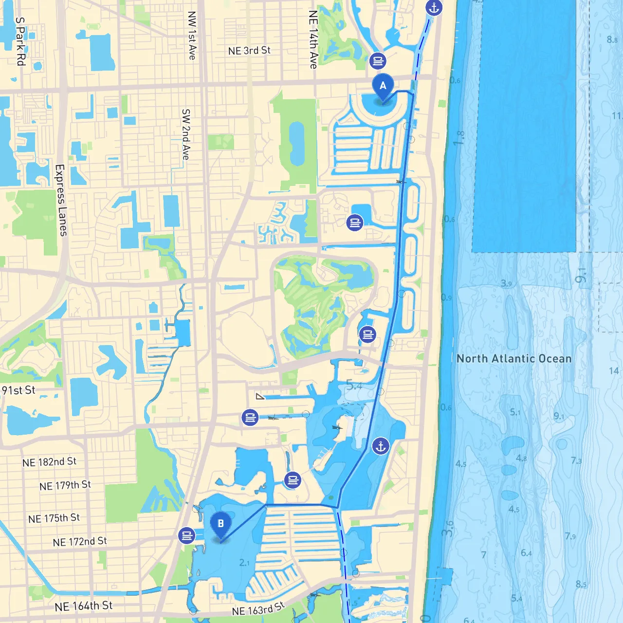
Pilotage Plan: Hallandale Beach, FL to North Miami Beach, FL
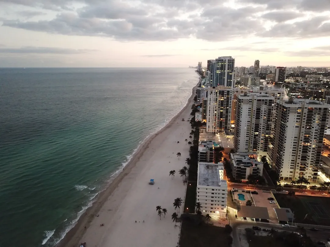
Route Overview This journey between Hallandale Beach and North Miami Beach spans a distance of roughly 10 nautical miles. It is a delightful route that showcases the scenic beauty of Florida's Intracoastal Waterway while offering interesting stops and navigational ease. Designed for day cruisers and sailors, this itinerary promises a comfortable and safe passage ideal for leisure cruising enthusiasts, fishing buffs, or those simply looking to enjoy a day on the water.
Starting Point: Hallandale Beach
- Coordinates: Long/Lat -80.125771, 25.983316
- Launching: Begin your journey at the Hallandale Beach Marina, a well-equipped facility with access to essential amenities. Be sure to check weather conditions and prepare your vessel for the trip ahead.
Points of Interest
Before setting sail, it’s worthwhile to note a few attractions near the start:- Gulfstream Park: A short distance from the marina, this venue features dining, shopping, and entertainment options—perfect for those seeking a bit of fun before heading out.
- Dania Beach: Slightly to the north before reaching North Miami, it's famous for its beachside fun and local fish markets.
Route Description and Navigation Aids As you head north, the first leg of your journey takes you through the Intracoastal Waterway (ICW). This waterway is well-marked with navigational aids, including buoys and channel markers.
1. Departure: As you leave Hallandale Beach, keep a lookout for ICW Marker
49. Make sure to stay in the channel to avoid any shallow waters.
2. Hazard Awareness: Watch for swift currents, especially near the inlets where tidal flow can create choppy conditions.
3. Navigational Aids: Pay attention to: - Federal Light
30, which assists in identifying safe shipping lanes and warns of shallow areas.
- The well-marked buoys along the ICW ensure you remain on course.
4. Shelter Spots: Along the way, should the weather suddenly change, consider heading into: - Biscayne Bay: Just off your course, it provides ample room to anchor and wait out any storm if needed.
Points of Interest Along the Route
- Aventura Mall: Though slightly inland from the beachfront, it makes for a perfect stop post-cruise for dining and shopping.
- Oleta River State Park: Ideal for nature enthusiasts, this park features hiking trails and quiet waterways for relaxation or paddleboarding.
Local Regulations and Safety Considerations
- Speed Limits: Adhere strictly to speed limits in the ICW to ensure the safety of fellow boaters and wildlife. Typically, the maximum is around 6 knots in most significant residential areas.
- No Wake Zones: Be mindful of "No Wake" zones, especially near marinas and crowded areas, to protect the environment and local structures.
- Wildlife Caution: Be on the lookout for manatees, particularly in warmer months when they frequent the shallow waters.
Target Audience
This route is ideal for leisure boaters, families, and novice sailors looking for a safe and scenic cruise. Its gentle pace and navigational aids cater well to those who may be less experienced on the water while providing space for skilled sailors to enjoy the thrill of the sea.
Recommended Boating Apps
Before your trip, download expert navigation apps such as:- Savvy Navvy: An amazing tool for route planning, navigating, and monitoring weather conditions.
- Navionics: Another useful app for real-time chart updates and tide information.
- MarineTraffic: Helps track shipping traffic and provides critical information about port conditions.
Make sure your vessel is well-stocked with safety gear such as life jackets, a fire extinguisher, and a first aid kit before heading out. Enjoy your safe and serene journey from Hallandale Beach to North Miami Beach, surrounded by the beauty of Florida's waterways!