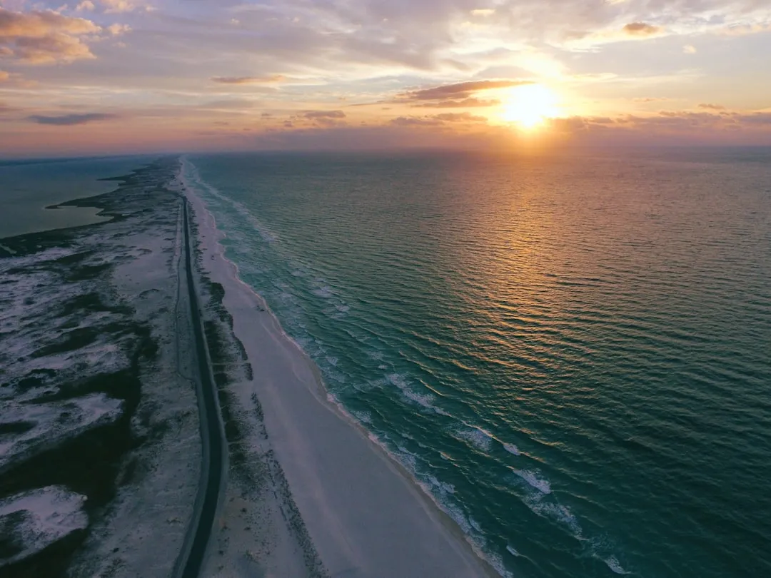
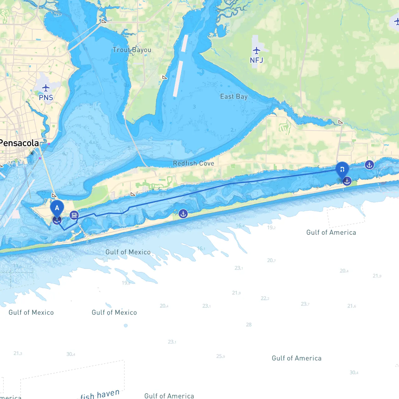
Embarking on a boat trip from Gulf Breeze to Navarre presents a delightful opportunity for scenic cruising along Florida's beautiful coastline. This route is particularly suitable for experienced and adventurous boaters looking to enjoy picturesque views while navigating through diverse waterways. While the journey is relatively short at around 14 nautical miles, it fosters an engaging experience, blending safety navigation with exploration of local attractions and potential shelter spots.
Positioned at coordinates Long: -87.174583, Lat: 30.349, Gulf Breeze is the perfect launching pad. As you prepare for your journey, ensure your vessel is equipped with all necessary safety gear, including life jackets, flares, fire extinguishers, and a fully charged VHF radio, as communication is vital while out on the water.
Begin your adventure by heading west out of Gulf Breeze, taking advantage of the beautiful open waters of the Santa Rosa Sound. Pay close attention to local vessel traffic, as the area can be frequented by fishing boats and watercraft of all sizes.
1. Santa Rosa Sound Navigation - As you cruise west, stay vigilant of the shallow waters. The mean depth of Santa Rosa Sound ranges around 4-6 feet in many areas, so be mindful of your vessel's draft. - Utilize channel markers, particularly the red and green buoys that delineate safe navigable waters. Familiarize yourself with your nautical charts to ensure adherence to the designated shipping lanes.
2. Shelter Points - Should the weather turn inclement or winds pick up, consider taking a detour to Big Sabine Point. This sheltered area offers a safe haven while also providing beautiful views and a chance to explore. - Alternatively, Pensacola Beach to your left presents an attractive stop with opportunities for relaxation and entertainment, such as restaurants or beach activities.
3. Point of Interest: Fort Pickens - As you approach the entrance of the Gulf of Mexico, keep an eye out for Fort Pickens, a historic military fortification borne from the civil war. The site is great for an educational moment and offers a chance to stretch your legs and enjoy some local history. - The fort is accessible via a short dinghy ride, providing an excellent break in your trip.
4. Navigational Aids - Continue westward towards Navarre, keeping a lookout for the green channel markers guiding your way into the more congested Navarre Beach area. - Notable navigational aids include the Navarre Pier, which is an identifiable landmark marking your approach to the destination. Its height and design make it easy to spot from a distance.
While navigating these waters, remain compliant with local boating regulations, including:
Arriving at Navarre, located at coordinates Long: -86.865083, Lat: 30.385, opens up a range of aquatic fun. You can explore the expansive Navarre Beach, dock at the local marina, or indulge in dramatic panoramic views of the Gulf of Mexico.
This route is a fantastic blend of safety and enjoyment for boaters seeking adventure along Florida’s breathtaking coastline. Ensuring your safety gear is on hand and adhering to navigational aids and regulations will equip you for a seamless exploration.
To complement your journey, I suggest using savvy navvy for comprehensive navigational assistance, as it provides real-time chart updates and safety alerts, alongside other essential boating apps to enhance your experience on the water.
Embark on this charming expedition between Gulf Breeze and Navarre, where every wave holds the possibility of adventure and serenity awaits just beyond the horizon. Safe travels!