
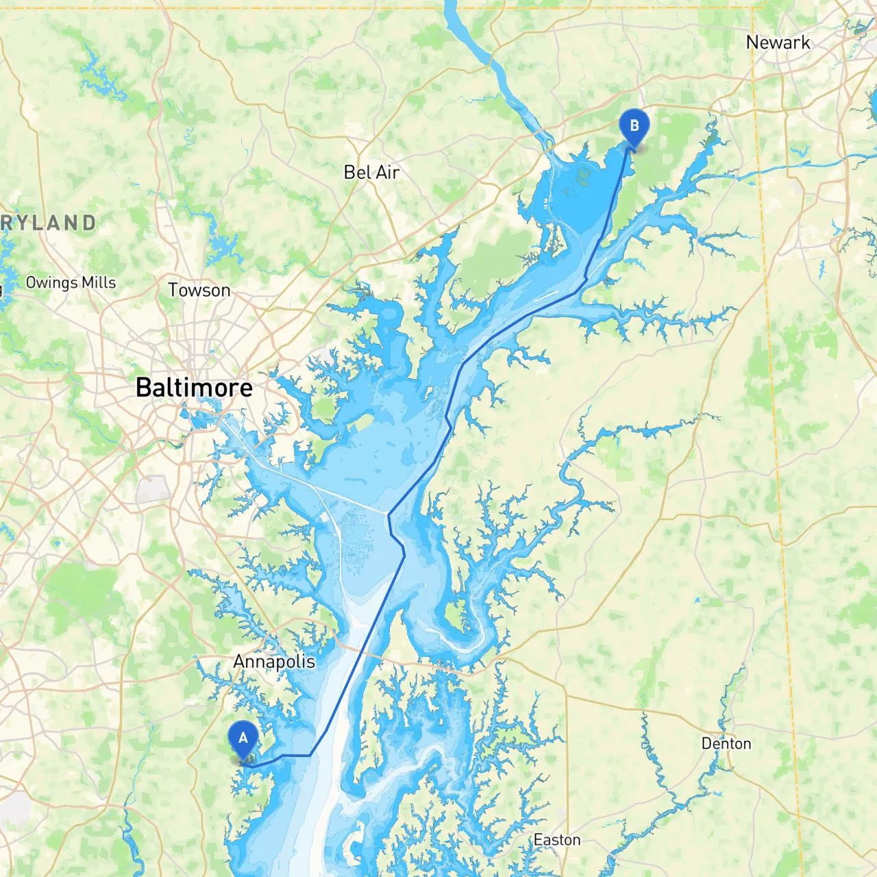
Departure Point: Galesville, MD (Coordinates: 38.8604° N, 76.5375° W) Destination: North East, MD (Coordinates: 39.5581° N, 75.9628° W)
This cruise from Galesville to North East is a splendid route for boaters looking to enjoy the scenic beauty of the Chesapeake Bay while ensuring safety. Covering roughly 40 nautical miles, it’s suitable for both seasoned sailors and those looking for a day out on the water. Expect a combination of stunning views, charming towns, and potential points for shelter in case of inclement weather.
1. Galesville to Broadneck: - Distance: Approx. 10 nautical miles - After departing from Galesville, navigate through the West River, keeping an eye on the marked navigational buoys. This section will lead you towards the Annapolis area, with opportunities to enjoy the scenic landscape. - Points of Interest: Annapolis Harbor is a great spot to relax, grab a meal, and visit the U.S. Naval Academy. - Shelter Option: If the weather turns sour, you can seek refuge in the South River, which offers sheltered areas.
2. Broadneck to Chester River: - Distance: Approx. 10 nautical miles - Continue towards the mouth of the Chester River. The area is picturesque with tidal wetlands and the chance to see local wildlife. - Navigational Aids: Watch for the Chester River Lighthouse and buoy markers as you enter this segment.
3. Chester River to Sassafras River: - Distance: Approx. 10 nautical miles - As you navigate northward, this stretch presents opportunities for exploration. The Sassafras River is known for its quiet waters and stunning shoreline views. - Points of Interest: The small town of Georgetown, MD, offers a small but welcoming marina and local dining options. If the weather worsens, the Sassafras River provides protected anchorage.
4. Sassafras River to North East River: - Distance: Approx. 10 nautical miles - This final segment will guide you to the North East River. Pay close attention to the navigation when entering as this section can get a bit narrow, and there are shallows to be aware of. - Shelter: In the North East River, there are ample spots to anchor or dock, providing a safe haven.
To ensure safe navigation, it is wise to utilize modern technology. Here are a few apps that will enhance your experience:
1. Savvy Navvy: This is perfect for route planning, offering real-time information on tides, weather, and navigational hazards.2. Navionics: Another great option for detailed charts and navigational tools, helping you stay updated on water activities.3. Windy: For monitoring wind and weather patterns throughout your journey.
This pilotage plan offers a safe, enjoyable route that blends the thrilling adventure of boating with the necessity for caution. Whether you're a seasoned sailor or a weekend cruiser, this trip promises stunning views and the opportunity to explore charming Maryland landscapes. Enjoy your voyage!