Pilotage Plan: Dordrecht to Den Haag, Netherlands
Overview
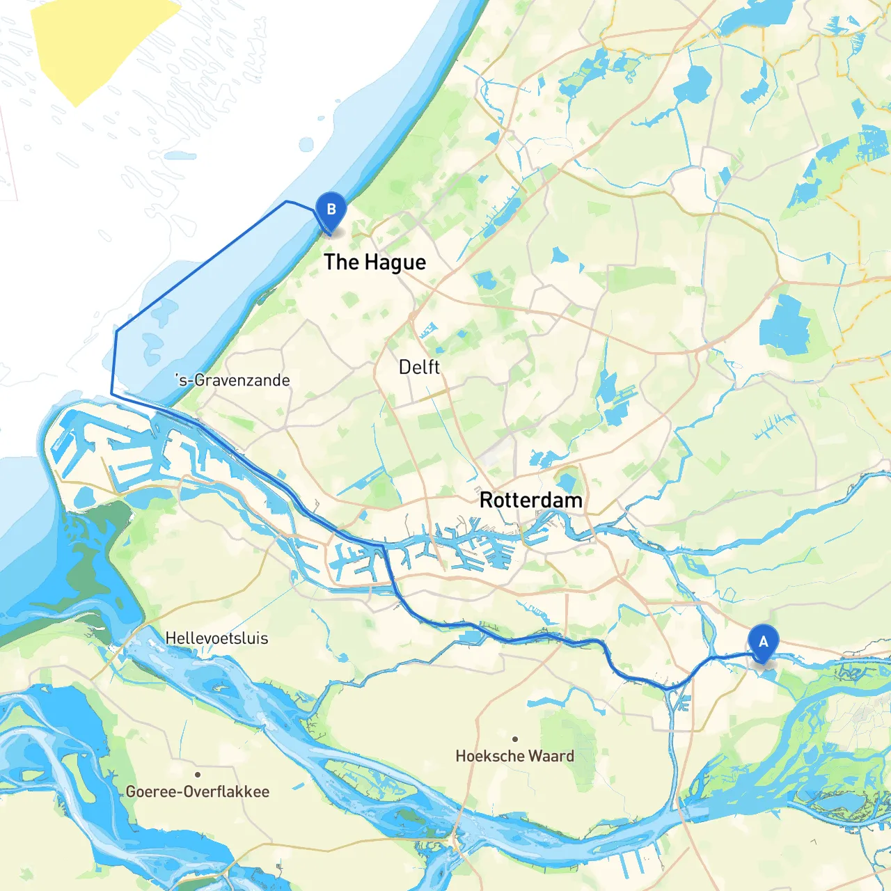
Embarking on a voyage from Dordrecht to Den Haag presents an excellent blend of scenic waterways, historical sites, and safe navigation, making it a perfect route for experienced and novice boaters alike. This journey covers approximately 30 nautical miles along the intricate waterways of South Holland. The trip will take you through a mix of tranquil canals and open waters, with plenty of opportunities to explore and enjoy nature.
Route Breakdown
Starting Point: Dordrecht, NL Coordinates: 4.724491, 51.813649 Dordrecht is a historic city known for its impressive architecture and the beautiful Merwede River. Before setting off, make sure to visit the stunning Grote Kerk (Great Church) and admire the waterfront views.
Leg 1: Dordrecht to Sliedrecht Approx Distance: 6 nautical miles
- Navigational Considerations: Leave Dordrecht via the Dordtsche Kil, heading toward the Sliedrechtse Bovenpolder. This stretch is well-marked with buoys, but keep an eye on potential fishing boats and commercial traffic as the area is busy.
- Shelter & Points of Interest: Sliedrecht has marinas and small boat harbors where you can dock for a quick refreshment or enjoy the local cafes.
Leg 2: Sliedrecht to Papendrecht Approx Distance: 3 nautical miles
- Navigational Considerations: This leg is short and involves crossing the Merwede River. Watch for the ferries and larger vessels here. Make sure to stay within marked channels, particularly in busy times.
- Shelter & Points of Interest: Papendrecht offers access to the water and local parks ideal for a leisurely stroll. The nearby ‘De Biesbosch’ nature reserve is worth exploring if you have time.
Leg 3: Papendrecht to Kinderdijk Approx Distance: 2 nautical miles
- Navigational Considerations: Navigate through the Alblasserwaard area with its picturesque views of windmills. The route is typically calm, but be mindful of the shallower waters in areas away from the main channel.
- Shelter & Points of Interest: Kinderdijk is famous for its Unesco-listed windmills. It’s a great spot to anchor for a visit, allowing you to explore the landscape and learn about Dutch water management history.
Leg 4: Kinderdijk to Rotterdam Approx Distance: 8 nautical miles
- Navigational Considerations: Enter the busy port areas of Rotterdam. Make sure to monitor VHF channels 16 and 14 for commercial traffic, and heed any directives from Port Control.
- Shelter & Points of Interest: Rotterdam features a vibrant harbor with numerous attractions, including the remarkable Erasmus Bridge and maritime museum. Securing a berth here will ensure a great night out.
Leg 5: Rotterdam to Den Haag Approx Distance: 11 nautical miles
- Navigational Considerations: This final leg will lead you through the Nieuwe Maas and the Scheveningen area. Pay careful attention to swift currents as you approach Den Haag, and prepare for a bustling nautical environment.
- Shelter & Points of Interest: You can find numerous marinas at Scheveningen Beach, where you can relax, enjoy the local cuisine, or even visit the famous pier or beach.
Key Navigational Aids
Throughout your trip, keep a keen eye on the following navigational aids:- Buoys and Markers: They indicate channels and submerged hazards.
- VHF Radio: Essential for staying in touch with port authorities and receiving updates on shipping traffic.
- Chart Plotters: Useful for tracking your position and course, along with giving access to local waterway maps.
Safety Considerations
- Always check local weather conditions before departure. Changes can happen quickly, particularly on open waters.
- Be cautious of shallow areas; ensure your draft is suitable for all parts of the route.
- Avoid travelling at night unless you are very familiar with the waterways.
Recommended Apps
For navigation and real-time waterway information, consider using:- Savvy Navvy: Provides detailed marine charting and planning specific to your route.
- Navionics: Offers charting services and extensive local data.
- Windy: For keeping an eye on weather patterns.
This journey from Dordrecht to Den Haag is not just a means of travel; it’s an opportunity to engage with the serene beauty of the Dutch waterways while respecting marine safety and regulations. Whether you are a seasoned sailor or a new boater, adhering to these recommendations ensures a safe and enjoyable experience on the water. Enjoy the adventure!