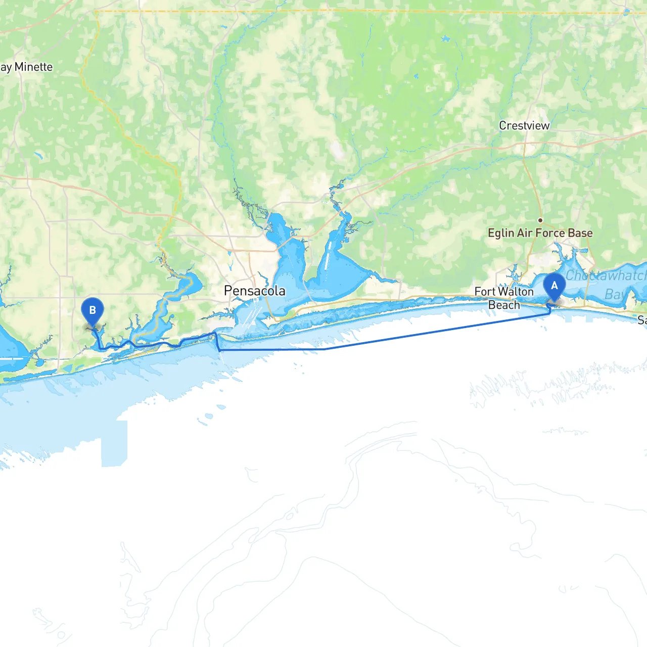
Pilotage Plan: From Destin, Florida to Foley, Alabama
OverviewThis journey from the scenic shores of Destin, Florida, to Foley, Alabama, offers a delightful blend of coastal beauty and intriguing landmarks. The route, approximately 35 nautical miles, suits experienced boaters looking for a refreshing getaway while also accommodating newcomers. Boaters will encounter a variety of environments including sheltered bays, vibrant marine life, and a series of navigation aids to guide their journey. Safety is paramount, ensuring you can enjoy the trip without worry.
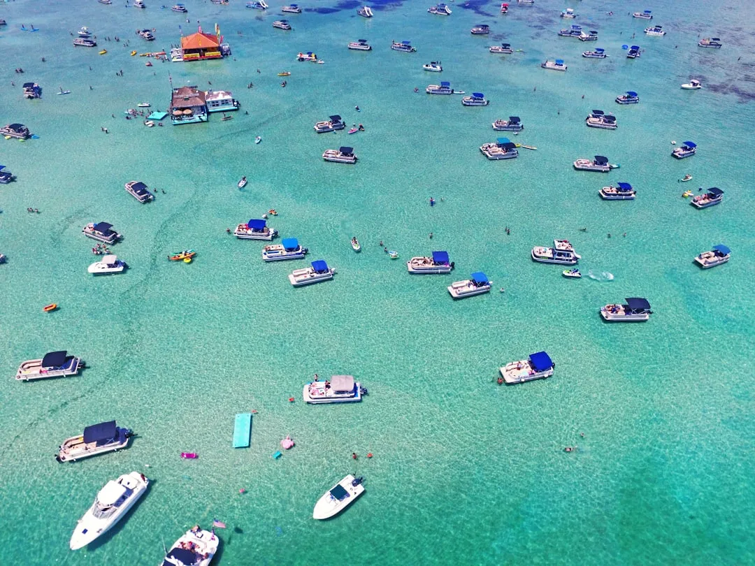
Leg 1: Destin Harbor to Fort Walton BeachAs you set sail from Destin Harbor, be mindful of the local traffic and navigate through the bustling waters. The harbor is well-equipped with navigation aids, including a range of buoys and marks to facilitate your passage. The first leg will lead you towards the East Pass, which connects the Gulf of Mexico to Choctawhatchee Bay.
Points of Interest:
Hazards:Watch for fishing boats in the busy waters, particularly around the East Pass, and keep an eye on breaking waves indicating shallow waters. Always refer to your navigation charts for accurate depth readings.
Shelter Options:Should the weather turn, you can find refuge in Choctawhatchee Bay, with several coves providing protection.
Leg 2: Fort Walton Beach to NavarreFrom Fort Walton Beach, follow the coastline westwards towards Navarre. This route is straightforward, skirting the beautiful Gulf Coast beaches. Utilize marine charts to locate the prominent Navarre Beach Bridge which is a notable navigation landmark.
Points of Interest:
Hazards:Be cautious of the shifting sands and shallow spots near the beach. Navigation aids along this stretch help mark deeper channels.
Shelter Options:If inclement weather arises, the protected waters behind Navarre Beach offer a safe harbor.
Leg 3: Navarre to Pensacola PassLeaving Navarre, head towards Pensacola Pass. This stretch is navigationally interesting as it brings you into the Pensacola Bay area. Expect to see the iconic Pensacola Lighthouse as a great visual marker for navigation.
Points of Interest:
Hazards:Strong currents can be present at the mouth of the pass. Be vigilant of large commercial vessels navigating into and out of the bay.
Shelter Options:Should conditions worsen, both the entrance to Pensacola Harbor and the bay itself provide safe anchorage.
Leg 4: Pensacola Bay to Perdido BayAs you depart Pensacola Bay, you’ll pass several navigational aids. Keeping true to your charts is essential as you make your way into the serene waters of Perdido Bay.
Points of Interest:
Hazards:Watch for increased boat traffic and local fishing vessels in this area.
Shelter Options:Perdido Bay has many coves and inlets where you can anchor safely if prompted by poor weather.
Leg 5: Perdido Bay to FoleyYour final leg takes you up to the eastern shoreline of Perdido Bay before continuing north into the area of Foley. Keep an eye out for the iconic landmarks identified by navigation aids along the coast.
Points of Interest:
Navigational Aids and RegulationsThroughout this trip, you’ll encounter a range of buoys and markers providing guidance. Pay special attention to:
Apps for Your JourneyConsider utilizing boating apps such as:
This carefully curated route from Destin to Foley straddles the line between adventure and safety, catering to both seasoned cruisers and enthusiastic novices. Whether you’re plowing through the open waters or dropping anchor in a tranquil cove, you’ll find a journey filled with beauty and opportunities for exploration, while always keeping your safety as the highest priority. So gear up, set your course, and enjoy the journey!