
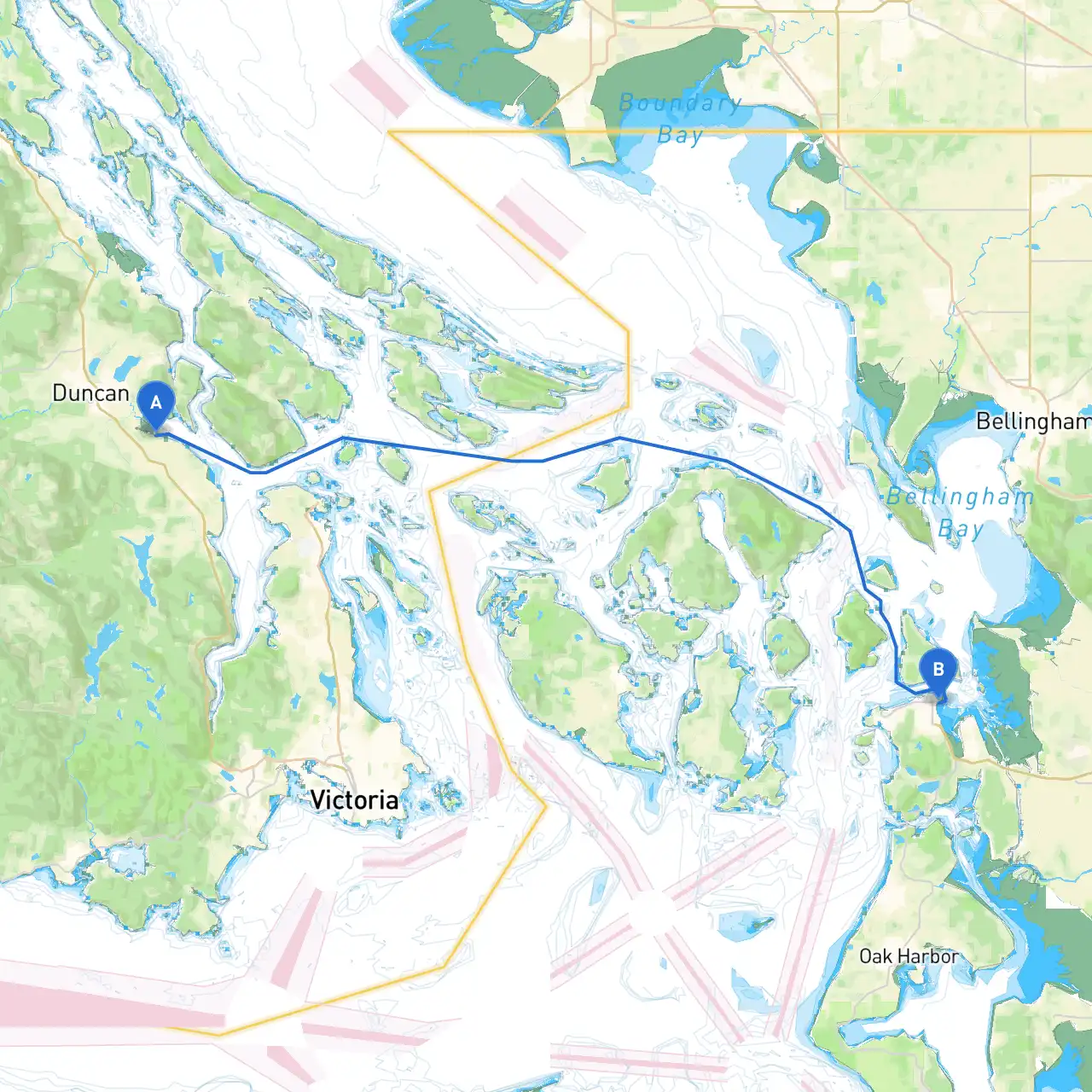
Pilotage Plan from Cowichan, BC to Anacortes, WA
Departure: Cowichan, BC, Canada
Your journey begins in the tranquil waters of Cowichan Bay, a picturesque locale on Vancouver Island known for its scenic beauty and vibrant marine life. Before setting off, ensure that your vessel is well-prepared, and you have checked the weather, tides, and current conditions, especially as you traverse the open waters.
Leg 1: Cowichan Bay to Gulf Islands
As you leave Cowichan Bay, head east toward the Gulf Islands, an area rich with natural beauty and characterized by numerous islands and sheltered bays. This leg is ideal for boaters who appreciate unspoiled nature and quiet coves.
Notable Points of Interest:
Salt Spring Island:Famous for its local arts and crafts scene. It’s a great spot to anchor and explore its charming markets or enjoy local eateries.
Ganges Harbour:A safe harbor when weather turns sour. The marinas here provide facilities alongside beautiful views.
Make sure to pay attention to markers and navigational aids, especially around active shipping lanes. The "C" marker located between Salt Spring Island and Pender Island is vital for navigation.
Leg 2: Navigation through Southern Gulf Islands
Continue through the Southern Gulf Islands, heading south past Pender Islands towards the south side of Mayne Island. This passage is relatively straightforward but requires vigilance as there are numerous rocks and shallows.
Hazards:
Porlier Pass:This narrow channel between Pender and Mayne Islands can be tricky, especially with strong tidal currents. Timing your passage during slack water here is essential to avoid potentially hazardous conditions.
Shelters:
Japanese Gardens, Mayne Island:A serene spot for a break. The surrounding water provides a safe anchorage in more severe weather.
Leg 3: Crossing the Rosario Strait
Leaving the Gulf Islands, you will cross the Rosario Strait towards Anacortes. This part of your trip is more open, and you may encounter ferry traffic, so keep a lookout for vessel traffic and adhere to active maritime routes.
Navigational Considerations:
Navigational Aids:Pay attention to the sonar beacons along the route. The buoyed channels are supported by well-placed markers to guide you. Be aware of your heading and the reported currents.
Arrival: Anacortes, WA, USA
As you approach Anacortes, prepare for customs clearance as you enter US waters. Anacortes is renowned for its marinas, parks, and access to the San Juan Islands, making it an attractive destination.
Points of Interest:
Anacortes Community Forest Lands:A fantastic area for hiking and waterfront exploration if you’re inclined to stretch your legs after your journey.
Cap Sante Boat Haven:Offers all the amenities you need post-cruise, and is a great spot for mingling with other boaters.
Safety and Regulations
This route is perfect for the intermediate to experienced boater, offering a balance of safety, natural beauty, and enough points of interest to make it worthwhile. You'll be captivated by the scenic landscapes and the thrill of navigating through vibrant maritime routes. Keep your navigation tools handy and enjoy the voyage!