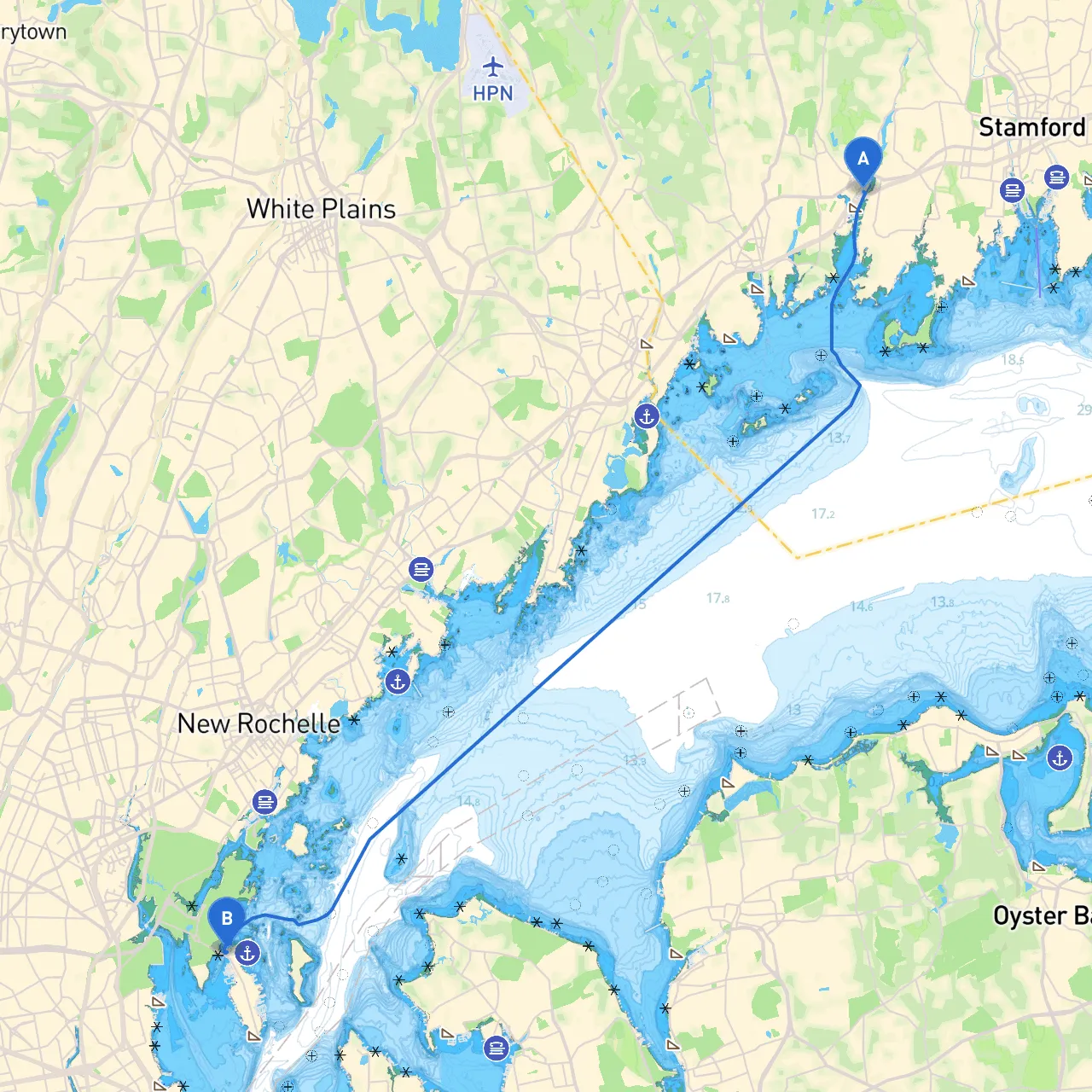
Pilotage Plan: Cos Cob, CT to Bronx, NY
As you embark on your nautical journey from Cos Cob, Connecticut, to the Bronx, New York, you are setting out on a route that combines the allure of coastal cruising with practical navigation considerations. This itinerary is especially suitable for experienced boaters looking for a day trip infused with both leisure and the necessity for due diligence regarding safety.
Departure: Cos Cob, CT
Before leaving the serene waters of Cos Cob, make sure to check local weather conditions and prepare your vessel for the journey ahead. The Cos Cob Harbor offers a calm starting point with the opportunity to fill up on fuel if needed.
1. Navigational Considerations along the Route
The route spans approximately 25 nautical miles, primarily along the Long Island Sound. As you set off, pay close attention to the following:
- Navigational Aids: The Long Island Sound is well-marked. Look for major buoys indicating safe channels and any obstructions. Notably, the Greenwich Harbor Buoy will be among your first navigational points to note.
- Tidal Currents: Familiarize yourself with the tidal patterns in this area; currents can affect your speed and navigation. Consult tide charts before departure.
2. Points of Interest Along the Way
As you cruise along, you'll pass several notable landmarks and potential stopovers:
- Greenwich Point Park (Mianus River entrance): A lovely area for mooring if you decide to take a break. Enjoy the picturesque views of the park and even hike the trails. This is a great spot for a picnic if the weather is favorable.
- Pecks Ledge Lighthouse: A charming historical lighthouse that is not only picturesque but also a good navigational landmark. Steer around this area with caution; the waters can get shoal.
- Bayside Shelter: If the weather looks to turn unfavorable, the Bayside area off Port Chester offers excellent shelter. It’s a sheltered estuary perfect for temporary anchoring.
3. Navigational Hazards
Among the hazards, keep an eye out for:
- Fishermen and Recreation Vessels: The waters can be busy with fisherman and other recreational boats, especially on weekends. Maintain a safe distance and keep awareness high.
- Flotsam & Jetsam: Particularly after storms, debris may be present in the water. Keep a vigilant lookout to avoid collisions.
4. Conclusion: Arrival in the Bronx
Upon nearing the Bronx, the waters around Throgs Neck Bridge are a central navigation point. Prepare for the increasing boat traffic as you approach this popular area. Throgs Neck is well-marked, but be cautious of potential currents and changing tides here.
Once you arrive in the Bronx, brief docking facilities are available at local marinas. This area offers a glimpse of the city’s unique character with nearby attractions like the Botanical Gardens and the Bronx Zoo for those looking to explore.
5. Safety Recommendations
- VHF Radio: Keep your VHF radio tuned to channel 16; it's vital for emergency communication with other vessels or the coast guard.
- Life Jacket Regulations: Ensure that all passengers have access to life jackets; it’s not just a regulation but also essential for safety.
- App Guidance: Use navigation apps like savvy navvy for real-time tracking and weather updates during your trip.
Choosing this route not only allows for enjoyable cruising but emphasizes the importance of safety and awareness—ideal for both seasoned and intrepid boaters alike. Whether you’re venturing out solo or with family and friends, embark on this journey with confidence, prepared for a rewarding nautical experience. Happy sailing!