Pilotage Plan: Colonial Beach, Virginia to North, Virginia
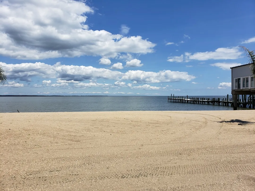
Departure: Colonial Beach, VirginiaYour journey begins at Colonial Beach, a charming waterfront town located along the Potomac River. Before setting sail, take a moment to appreciate the local scenery, including the waterfront parks and beaches. It’s essential to ensure all your safety equipment is onboard, including life jackets, a VHF radio, flares, and a first-aid kit.
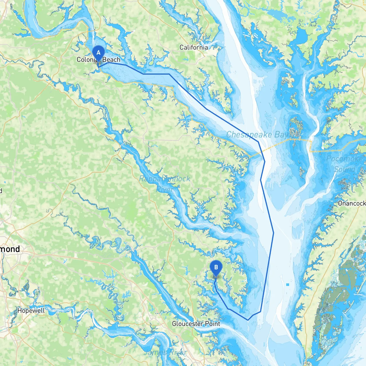
Route OverviewThe route from Colonial Beach to North, Virginia spans approximately 35 nautical miles, primarily utilizing the Potomac River and some of the surrounding tributaries. This cruise is suitable for experienced boaters, as it does present some navigation challenges while offering a breathtaking view of Virginia's landscape. Do keep an eye on the weather, as conditions can change swiftly.
Key Navigation Considerations1. Navigational Aids: As you depart Colonial Beach, you’ll find several buoys marking your passage. Be sure to follow the channel markers carefully. Important aids include the “Colonial Beach Bar” and the “Potomac River Lighthouse” guiding your way.
2. Hazards: Watch for shoals near the entrance to the Potomac River and remain mindful of commercial traffic. The river can become congested with fishermen and cargo vessels, so maintain a safe distance and adhere to standard navigational rules.
3. Local Regulations: When traveling through the marine sanctuaries and protected waters, ensure you’re complying with all local boating regulations. Additionally, be aware of any no-wake zones and speed limits as you travel closer to shore or through populated areas.
Shelter and Points of InterestAlong your route, there are several bays that provide excellent shelter in case of inclement weather:
1. Monroe Bay: Located about 7 nautical miles north of Colonial Beach, this bay provides good harbor and is a perfect spot to rest. Here, you can enjoy the views of Virginia’s natural beauty and take a quick swim if the weather permits.
2. The St. George’s Island: This small island offers a scenic stop for those interested in a picnic or a small hike. The waters around the island can provide a sheltered anchorage.
3. Chesapeake Bay: If your plan is to extend your trip, consider entering the lower Chesapeake Bay area. The bay is rich in fishing spots and has numerous islands to explore.
Navigational TipsYour approach to the final destination of North, Virginia involves careful navigation through local rivers. Pay attention to the following:
Final Approach: North, VirginiaAs you complete your journey and approach North, Virginia, stay alert for the nearby shores that will offer a beautiful backdrop as you dock. The small-town charm will be a lovely reward after navigating the waterway.
In conclusion, this pilotage plan emphasizes safety and preparation while promising a rewarding boating experience along the scenic waterways of Virginia. Whether you're an experienced cruiser or someone looking to expand your skills, this route offers a perfect mix of challenges and takings in beautiful landscapes. Embrace your journey and sail safely!