
Pilotage Plan from Clinton, Connecticut to Westerly, Rhode Island
Route Overview:
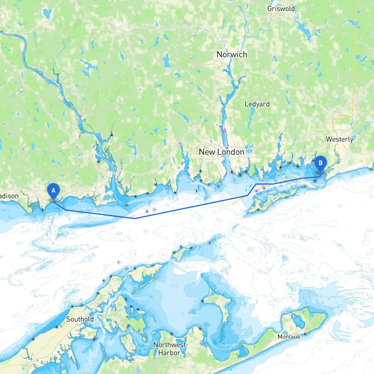
This journey offers a delightful mix of scenic views, historical landmarks, and sheltered bays along the coastline. The route from Clinton, Connecticut to Westerly, Rhode Island stretches approximately 25 nautical miles, providing a perfect getaway for experienced boaters and families alike, while prioritizing safety on the water.
Departure: Clinton, Connecticut
Starting your journey at Clinton, you’ll be surrounded by a charming marina and picturesque views of the Connecticut shoreline. Make sure to check the weather forecast before departure, as conditions can change quickly along the coast. The Connecticut River mouth is nearby, so be cautious of river traffic and currents.
Navigation Overview:
Coordinates to Navigate: Start from Clinton (Long: -72.4877, Lat: 41.2690) and head toward Westerly (Long: -71.8712, Lat: 41.3166).
Initial Leg: Clinton to Hammonasset Beach State Park
Distance: Approximately 6 nautical miles
Course: Steer southeast out of Clinton Harbor.
As you depart, be mindful of the Clinton Harbor Navigational Aids. Follow the channel markers as you approach Hammonasset Beach State Park, which is an excellent first stop for a break. The park features beautiful beaches and hiking trails. It’s a great spot to drop anchor, grab lunch, or stretch your legs on the shore.
Mid-Leg: Hammonasset Beach to New Haven Harbor
Distance: Approximately 7 nautical miles
Course: Continue along Long Island Sound, keeping a steady southeast heading.
While cruising, keep a lookout for the New Haven Harbor entrance. The harbor is relatively busy, so it’s crucial to stay alert. This is a good point to experience urban attractions if you wish to explore the coast further.
Shelter Spot: Faulkner’s Island
Distance: Approximately 2 nautical miles from New Haven Harbor.
Make a slight detour toward Faulkner’s Island for a picturesque shelter location. Faulkner’s is home to a lighthouse and is a peaceful stop to enjoy nature. It is advisable to make an anchorage here if the weather begins to deteriorate.
Final Leg: New Haven Harbor to Westerly, Rhode Island
Distance: Approximately 15 nautical miles
Course: Head east away from New Haven, keeping a vigilant eye for navigational aids along the Long Island Sound. You will want to maintain a close watch on vessel traffic, as the area can be busy.
As you begin your approach toward Westerly, be aware of any changing conditions and local shipping traffic. Adhere to any posted navigational restrictions, particularly within the Connecticut and Rhode Island state lines.
Arrival: Westerly, Rhode Island
As you approach the charming town of Westerly, take in the beautiful coastal scenery. The area is known for its beaches and quaint stores. Seek out the marina where you can dock safely and explore local attractions such as Watch Hill and the historic carousel.
Important Navigational Aids
Lighthouses: Pay attention to the placement of lighthouses such as the New Haven Lighthouse and Watch Hill Lighthouse, as they guide you along your route.
Channel Markers: Follow the channel markers closely, especially when entering and exiting harbors.
Safety Considerations:
ThisPilotage Plan assures an enjoyable, safe, and memorable journey along the beautiful Connecticut and Rhode Island coastline. Prepare well, stay vigilant, and enjoy your time on the water!