
Pilotage Plan from Cape May, NJ to Wildwood, NJ
Route Overview:
Commencing from the bustling harbor of Cape May, you'll navigate up the scenic coast to arrive at Wildwood, NJ. This journey is approximately 16 nautical miles and offers beautiful coastal views, quaint bays, and vital navigation aids along the way. The route is suitable for intermediate and seasoned boaters, providing a serene escape while ensuring safety is prioritized.
Starting Point: Cape May, NJ
Coordinates:38.949017023, -74.893446391
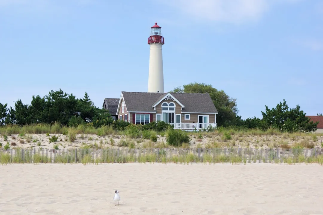
Harbor Features:Cape May boasts a well-marked harbor, with numerous facilities including fuel docks, restaurants, and supply stores. Before embarking, ensure that your vessel is stocked and all safety equipment is accounted for.
Leg 1: Cape May to Lower Township
Distance:~4 NM
Leg 2: Lower Township to Hereford Inlet
Distance:~6 NM
Leg 3: Hereford Inlet to Wildwood
Distance:~6 NM
Navigational Considerations:
Tides and Currents:Keep an eye on the tide schedule. The tidal currents in this stretch can be strong and affect your speed over ground.
Weather Monitoring:Regularly check the weather updates before and during your trip. Sudden storms can develop along the coast.
Local Regulations:Adhere to no-wake zones, especially around residential areas and during peak recreational fishing periods. Ensure you have the appropriate fishing licenses if you plan to drop a line.
Safety Precautions:
Useful Apps:
Download applications like Savvy Navvy, which provides great mapping tools, weather information, and navigation assistance. Other reliable apps include Navionics for charting and weather monitoring apps for real-time updates.
This trip is a fantastic blend of natural beauty, local culture, and fishing opportunities. By setting out from Cape May and heading north to Wildwood, you not only enjoy a technically secure route but also gather memories of stunning coastal views and a vibrant destination awaiting your arrival. Safe sailing!