
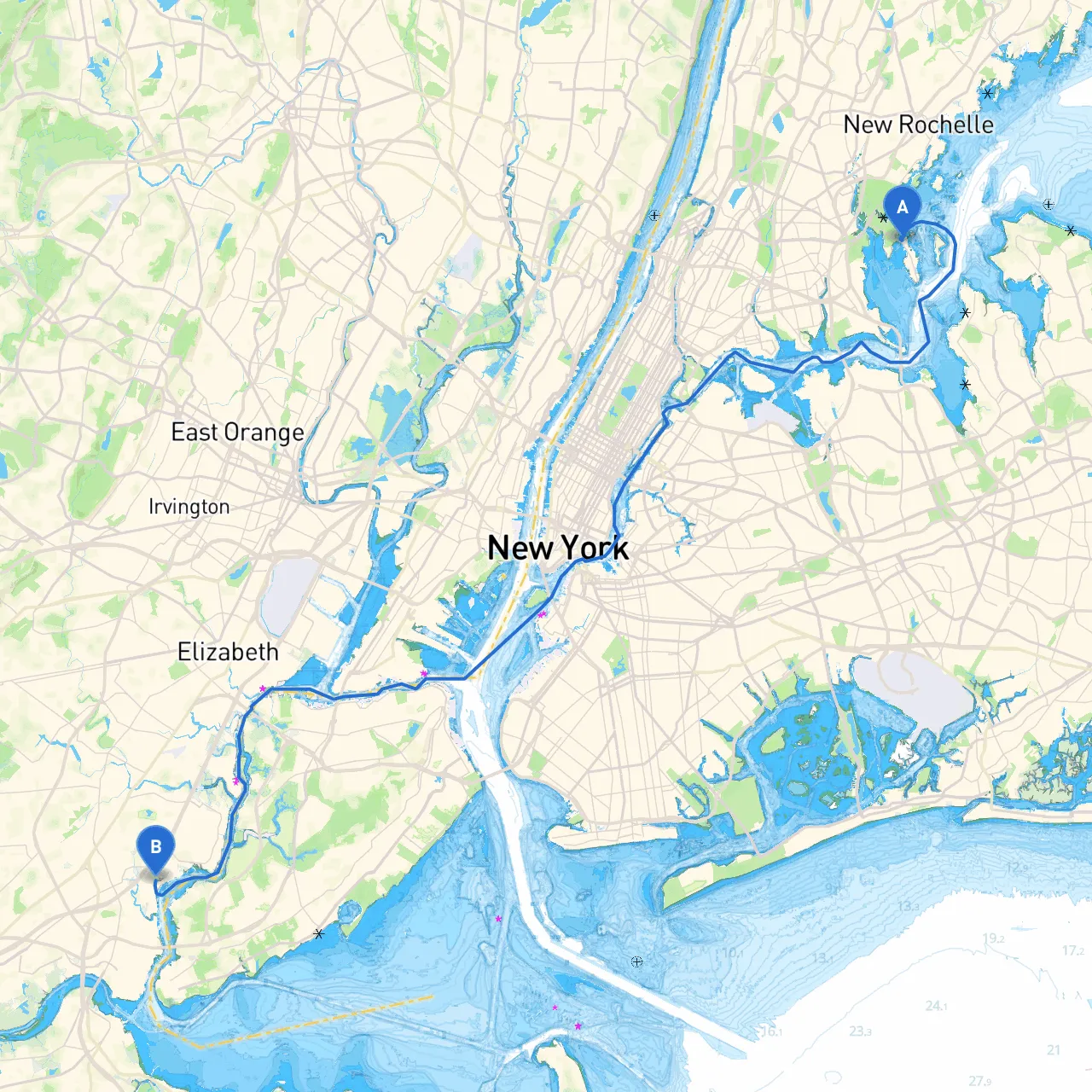
Pilotage Plan: Bronx, NY to Sewaren, NJ
Route Overview This route from Bronx, NY, to Sewaren, NJ, offers a unique blend of urban and natural landscapes, providing an intriguing journey through a dynamic blend of bustling city life and serene waterways. The journey covers approximately 30 nautical miles and is best suited for experienced recreational boaters who prioritize safety while navigating in potentially busy waterways.
Planning for the Trip Before setting off, ensure that your vessel is in top condition, equipped with all necessary safety gear including life jackets, flares, fire extinguishers, and first aid kits. Weather forecasts should be monitored closely, as conditions can change rapidly. The ideal time for this trip is spring through early fall when the weather is generally mild, and daylight is extended.
Starting Point: Bronx, NY From the Bronx, the journey begins on the East River, a heavily trafficked channel. Keep your eyes peeled for commercial vessels, as they can create significant wakes. Departing from the Bronx, steer south and utilize the navigational aids to guide you toward Belmont Island.
Navigational Considerations:
Bays and Sheltering Areas:
Points of Interest:As you navigate south, consider a stop in Hoboken, NJ. This waterfront area offers dining options and local parks where you can stretch your legs before continuing your journey. The views of the Manhattan skyline from here are breathtaking and worth enjoying.
Route to Sewaren:From Hoboken, continue through the Upper New York Bay toward the Arthur Kill, keeping an eye out for navigational buoys and markers along the way.
Regulatory Considerations:Note that certain areas may have restrictions, especially concerning speed limits and No Wake zones near marinas and residential areas. As you approach Sewaren, be mindful of the industrial shipping traffic; always maintain a proper lookout.
Arrival at Sewaren, NJ As you enter the final stretch to Sewaren, the confluence of local energy and nature combines beautifully. Request docking space at one of the marinas in the area. From here, enjoy local attractions, including the nearby parks and the picturesque waterfront.
Recommended Boating Apps:For navigation and safety assistance, consider using apps such as:
This boating adventure, while emphasizing safety and awareness, allows you to take in stunning scenery, historic sites, and perhaps a quick stop at the vibrant waterfront community of Hoboken. Bon voyage!