Pilotage Plan for Boat Trip: Brisbane, CA to Oakland, CA
OverviewThis boating journey from Brisbane, California, to Oakland, California, offers a delightful blend of natural beauty and urban landmarks. It’s especially suitable for seasoned boaters and families alike, weaving through picturesque bay areas and avoiding potential hazards.
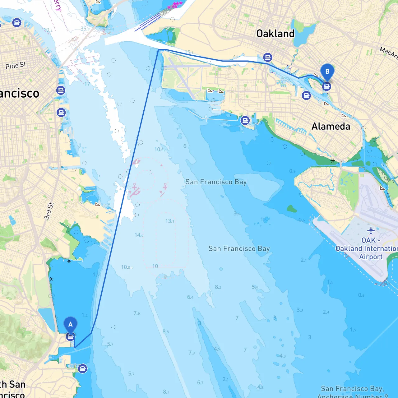
Route DescriptionYou will depart from Brisbane Marina, situated in the sheltered waters of San Francisco Bay. Your end point is the bustling city of Oakland, where you can enjoy its waterfront parks and vibrant community. This journey will take you through a mix of open water and quiet coves, providing opportunities to experience both the natural and urban charm of the San Francisco Bay Area.
Starting Point: Brisbane, CA
- Coordinates: 37.6762° N, 122.3811° W
- Departure Overview: Before leaving, check the weather forecast and tidal conditions. San Francisco Bay can be subject to sudden changes in weather.
Key Landmarks & Points of Interest Along the Route:
: Just to the south of Brisbane, this area boasts a beautiful park and is a great spot for wildlife watching or a quick stroll before you head out.2.
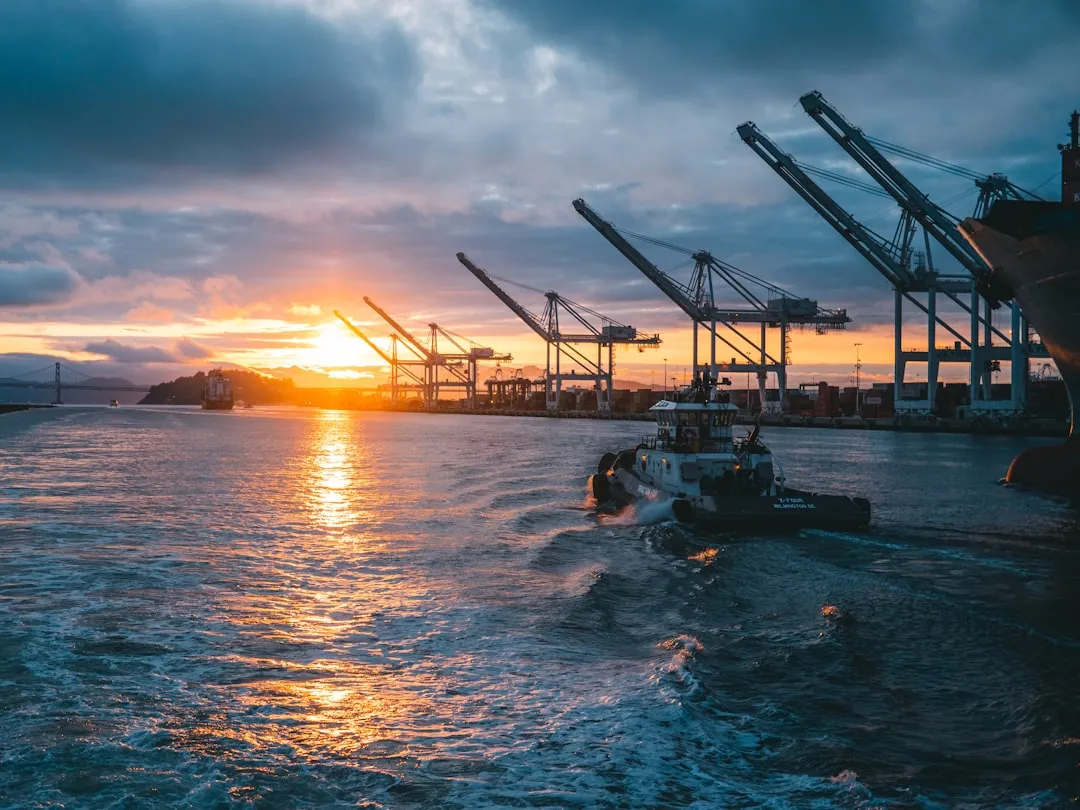
: A noteworthy landmark that signals your approach to the deep waters of San Francisco Bay. It's a good place to keep an eye out for shipping traffic, as it's near the shipping lanes.3.
: You’ll see an interesting mix of industrial scenes and waterfront parks. A brief stop here for a different perspective of the bay can be refreshing.4.
: Just north of Bayview; a lovely area with some local parks accessible by water.
Shelter Bays Along the Route
Should the weather turn unfavorable, consider heading into these nearby bays:- Berkeley Marina: A welcoming area with ample shelter and facilities. Perfect for resting and regrouping.
- Treasure Island: This is a convenient stop with amenities; the northern side provides a good shelter from the wind.
Navigational Considerations:
As you navigate towards Oakland, pay close attention to the following:
- Navigational Aids: Look for the red and green buoys marking the channels. The South San Francisco Bay is heavily used, especially near the shipping channels, so keeping to these aids will help avoid hazards.
- Traffic Separation Schemes (TSS): Be aware of the TSS in the main shipping lane to the east of your route. Heavy commercial traffic moves through this area, and proper lookout and communication are essential.
- Weather: San Francisco Bay is known for its quickly changing weather conditions, especially the notorious fog. Monitor local marine forecasts closely.
Arrival Point: Oakland, CA
- Coordinates: 37.7833° N, 122.2434° W
- Getting In: As you approach Oakland, familiarize yourself with the Port of Oakland channels. Maintain a steady course and keep an eye on other vessels.
Local Regulations:
- Remember to abide by local marine regulations, including speed limits, no-wake zones, and restricted areas. The waterfront around Oakland often has several vessels and recreational activities, so proceed with caution.
Recommended Boating Apps
- Savvy Navvy: A fantastic app for route planning and navigation.
- Navionics: Offers detailed charts and community edits that can help reveal hazards and detailed local knowledge.
- Windy: For real-time weather updates and forecasts to keep you informed.
This pilotage plan highlights a journey that is rich in scenic beauty while ensuring the boater’s safety is paramount. Enjoy the thrill of navigating through the impressive San Francisco Bay, and take advantage of the opportunity it presents to connect with both nature and the vibrant culture of the Bay Area cities. Safe cruising!