
Embarking on a journey from Brighton to Sittingbourne offers a delightful exploration of the southern coast of England, transitioning from the picturesque shores of Brighton through the intricate waterways of the Medway region. This trip is particularly suited for experienced coastal cruisers looking for a mix of scenic beauty and historical charm. The route includes opportunities to navigate through sheltered bays and engage with local attractions, all while ensuring safety is prioritized.
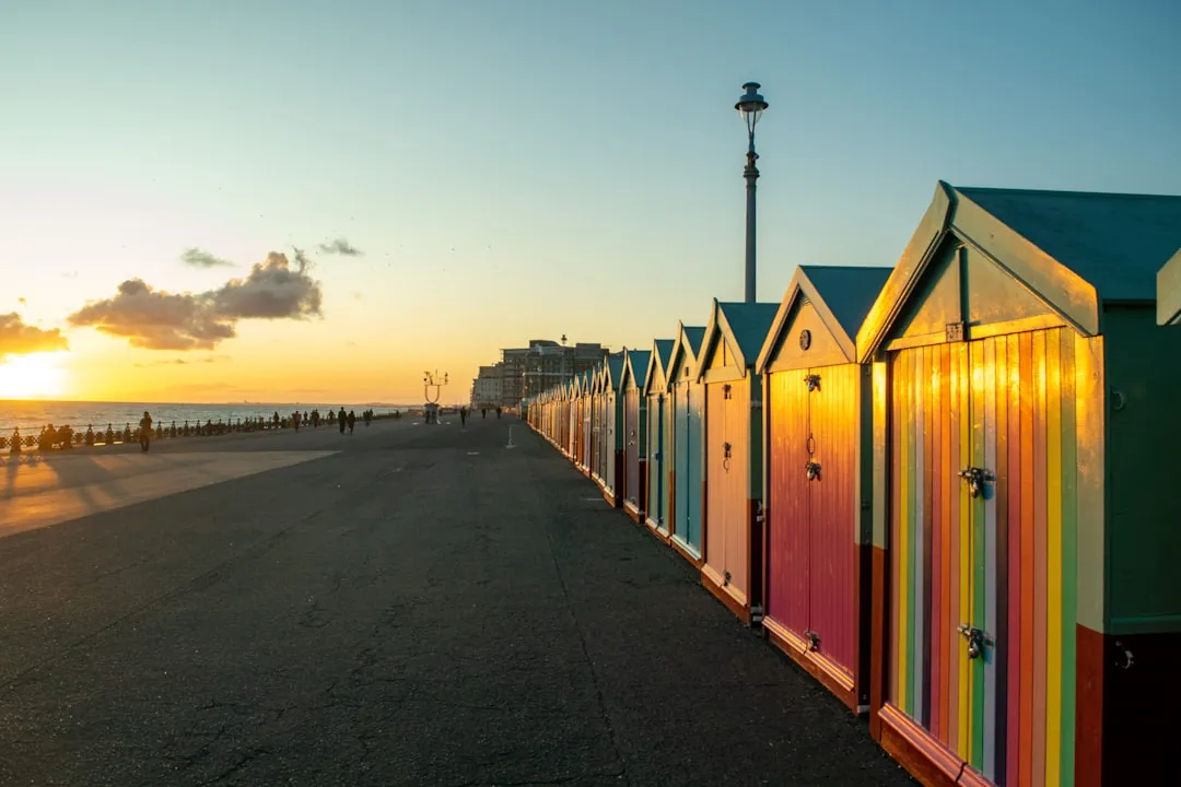
Distance: 6 NM Brighton Marina serves as a great launch point. As you set off, keep an eye out for the iconic Brighton Pier and the Royal Pavilion, both visible from the water. This leg of the trip is simple and straightforward.
Notable Hazards: Shortly after leaving Brighton, watch out for the East and West Piers while navigating the entrance to the marina.
Shelter Bay: Shoreham Harbour offers a well-protected anchorage with various facilities if weather conditions worsen.
Distance: 4 NM Leaving the harbour, you'll head west towards Newhaven. The coastline is dotted with stunning white chalk cliffs, a hallmark of this beautiful stretch of Sussex. Newhaven is easily recognizable thanks to its large ferry terminal.
Notable Point of Interest: Don’t miss the historic Newhaven Fort situated on the eastern side of the harbour.
Navigational Aids: Keep a vigilant eye on Newhaven Lighthouse; it’s a useful reference point.
Distance: 6 NM Continuing along the coast, the path leads you southeast to Eastbourne. This leg is primarily a coastal route with stunning views of Beachy Head, Britain’s highest chalk sea cliff.
Hazards: Make sure to respect the shipping lanes and the busy commercial activity around Eastbourne.
Shelter Bay: Eastbourne offers a range of marina facilities and shelter if weather conditions require you to pause.
Distance: 5 NM As you pass Pevensey Bay, keep an eye out for the historic Pevensey Castle, an ancient site that adds depth to your journey.
Point of Interest: The beaches around Pevensey Bay are fantastic for a short onshore excursion.
Distance: 10 NM Turning towards the River Rother, you’ll enter the Rye Harbour Nature Reserve, an area known for its beauty and rich wildlife.
Hazards: Watch for shallow areas while entering the harbour and follow marked channels closely.
Shelter Bay: Rye Harbour provides excellent shelter and opportunities for nature walks or visits into the quaint town of Rye.
Distance: 8 NM This segment leads you into Chichester Harbour, a designated Area of Outstanding Natural Beauty (AONB).
Navigational Aids: Follow the marked channels and keep an eye out for the numerous buoys and markers.
Shelter Bay: Chichester Marina presents various facilities and is a perfect spot to take a break if adverse weather occurs.
Distance: 10 NM As you leave Chichester, you’ll be navigating the River Medway. The character shifts here, with the landscape becoming more industrialized, but also rich in maritime history.
Hazard: Pay careful attention to the shipping traffic as you approach the large commercial port areas near Gillingham.
Points of Interest: Stop for a visit at the historic towns of Rochester and Chatham along the Medway, both of which are rich with naval history.
While planning your route, consider using these apps to assist with navigation and safety:
This journey from Brighton to Sittingbourne is a tapestry of coastal beauty, cultural landmarks, and safe harbors, making it an ideal adventure for the seasoned boater. Avoiding hazards while embracing the rich experiences along the coast ensures a fulfilling and safe maritime exploration.